Uluru – Kata Tjuta National Park (Ayers Rock And The Olgas)
Australia, Northern Territory Add commentsPlanet View: S25°20.566′ E131°01.281′
Street View: S25°20.566′ E131°01.281′
 We spent the night at Mount Ebenezer (S25°10.817′ E132°40.698′) on Tuesday, Ebenezer roadhouse is basically a cattle station that has cottoned on to offering facilities for passing tourists, something we’ve noticed a lot of stations do in The Outback (William Creek, Mount Dare, Curtin Springs to name a few others). The campsite wasn’t much: an open, dusty paddock on the side of the highway. But it was free with hot showers and the roadhouse food was good, so we can’t complain.
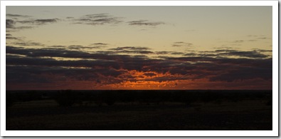
 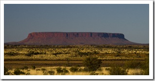 Wednesday started with an amazing sunrise over the desert, the photo to the right doesn’t quite do it justice. It was a couple of hours drive from Mount Ebenezer to the National Park, the desert sands becoming redder with each kilometer. The landscape was dotted with spinifex as far as the eye could see, and Lisa had quite an eye for spotting huge wedge-tailed eagles in the morning sun (still need to get a photo of one). On our way to Uluru (Ayers Rock) we passed by Mount Connor, a massive red-earthed plateau shooting out of the desert on the horizon. Lisa and I both thought for a second that it was Uluru!
 We checked into the Yulara campsite before heading into the National Park, camping in the Park isn’t allowed so Yulara is the only option. A pricey campsite but the facilities were excellent. It was first time we’d been able to get mobile phone reception since the Flinders Ranges so we spent a bit of time catching up with civilization. Yulara is the name of the small resort town established just outside the National Park boundary. It houses the famous Uluru Resort as well as a number of restaurants of varying degrees of classiness, a
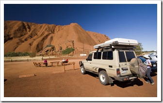
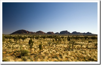
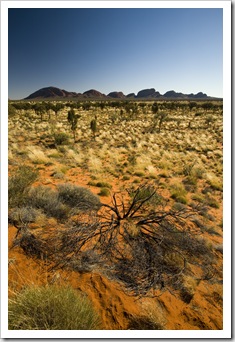
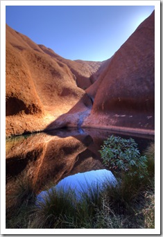
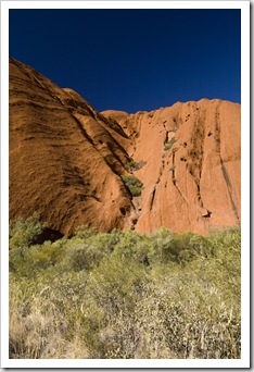
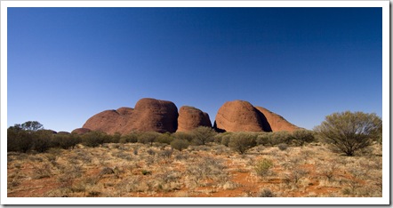
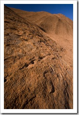
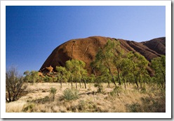
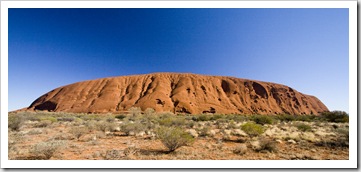
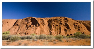
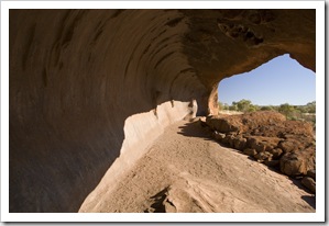
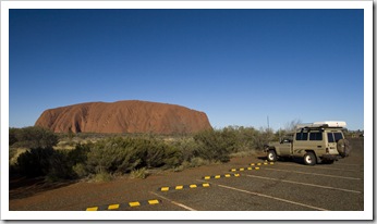
 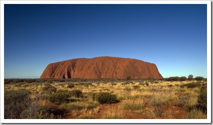 shopping center and, of course, our campsite. We were prepared to pay the $25 entry fee on the National Park entry sign, but when the ranger took our $50 we quickly realized there was no change forthcoming and that the entry was in fact $25 each! We first ventured out to Kata Tjuta (The Olgas) and walked into one of the gorges between the giant aggregates of rock. While Uluru and Kata Tjuta look like they’re composed of the same type of rock from a distance, it’s actually a little deceiving: Uluru is, of course, the planet’s largest single rock but Kata Tjuta (S25°18.052′ E130°43.293′) is composed of a conglomerate of small red rocks held together by aggregate. After a quick walk into Kata Tjuta we made our way back to Uluru and spent a few hours walking around the big rock. Lisa had visited Uluru before when she was studying in Australia, but it was my first time. Fantastic to see it up close, there are actually a lot of gorges and caves in the sides of the giant monolith, it’d be fantastic to see it when all the waterfalls are flowing down its sides. We’d been told to make sure to catch Uluru in the sunset, it evidently changes color from its typical orange to a deep red, but the sinus infection I’d picked up the day before had us back at the campsite by the time the sun was setting so afternoon shots of the rock will have to do!
This entry was posted on Wednesday, June 17th, 2009 at 3:00 PM and is filed under Australia, Northern Territory. You can follow any responses to this entry through the RSS 2.0 feed. Both comments and pings are currently closed.



that sure is a big rock
June 24th, 2009 at 1:44 PM
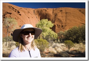
Nice hat Lisa…how about you just string some corks onto it?!
June 24th, 2009 at 5:13 PM
Awesome rock…It makes you wonder what was the geologic process that created this landmark?
June 24th, 2009 at 11:17 PM