Planet View: S23°41.973′ E133°51.695′
Street View: S23°41.973′ E133°51.695′
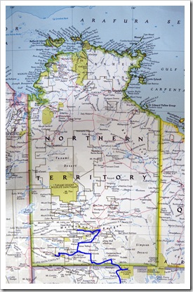
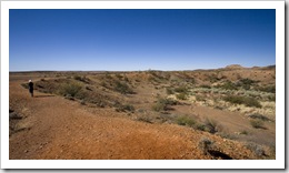 Our original plan was to head from Uluru to Finke Gorge National Park via the Finke Creek 4WD Track. We drove the 250 kilometers to the beginning of the track but, upon seeing that it would be almost 50 kilometers of 4WD low-range in a sandy river bed, we instead decided to skip Finke Gorge and head straight to Alice Springs (Tom Brown stop shaking your head!). We’ll get plenty of low-range driving in the Kimberley, and it’s probably better if we attempt a track like that when we’re not by ourselves and have two full fuel tanks… We took the Ernest Giles Road back to the Stuart Highway, stumbling upon Henbury Meteorite Conservation Park along the
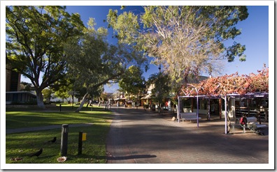
 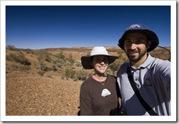 way for a bit of a geology lesson. The meteorite responsible for the crater to the above left was around four feet in length, imagine the speed it must have been traveling! Around 50 kilometers out of Alice Springs we started to be able to tune to some of the local Alice radio stations. We stopped on a local Aboriginal station that was fun for a listen, I will never forget the song Tourist Dollar played by a Northern Territory Aboriginal group describing how they’re all kept fat and comfortable by the tourist dollar! We arrived in Alice Springs late on Thursday afternoon with enough time to have a stroll around central Alice. Some fabulous artwork in the local galleries as well as a plethora of opal jewelers and a few good outfitters in the central Todd Mall. Also some very eye-catching artwork being sold by the local Aboriginal artists in the Todd Mall park, we noticed one or two of them that had their pieces also featured in the local galleries but at many multiples of the park price! Opting to leave our camp kitchen packed away for the night, we hung around in central Alice for dinner at one of the local pubs, a schnitzel for me and kangaroo fillet for Lisa.
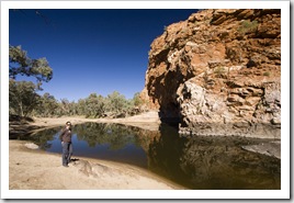
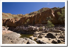
 Alice springs is situated along a mountain range named the Macdonnell Ranges. For 222 kilometers to the west of Alice extendeds the West Macdonnell Ranges National Park; this morning we took a drive along the National Park stopping off at some of the famous sights. You could spend days exploring the West Macdonnell Ranges National Park, it’s a beautiful area of Australia and the campsites are located at ideal spots. There are also some great hiking trails joining the park’s main landmarks, the main hiking route is called the Larapinta Trail and extends from the park’s western boundary all the way into Alice Springs. The two spots we visited were Ellery
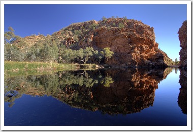
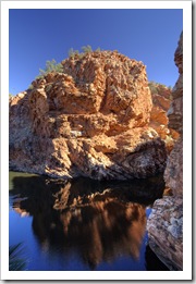
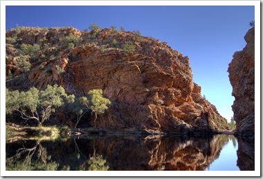
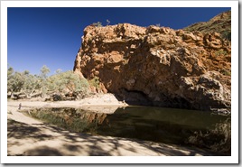
 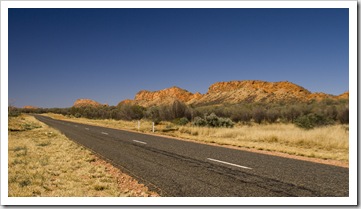 Creek Bighole, a popular permanent swimming hole in a beautiful gorge about 45 minutes drive west of Alice Springs. The water was freezing cold but we gathered that Ellery Creek Bighole is very popular amongst Alice locals when the temperature is sweltering
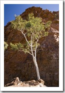
 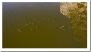 during summer. Our second stop was Ormiston Gorge on the western edge of the park. Lauded as one of the most spectacular gorges in central Australia, it was definitely an impressive sight. The red rocks of the gorge extend for many kilometers back from the main waterhole, sheer cliffs with beautiful ghost gums finding a way to grow in the rocks’ cracks. No fishing in the National Park, unfortunate because the waterhole at Ormiston was filled with ample sized swimmers!
This entry was posted on Friday, June 19th, 2009 at 1:30 PM and is filed under Australia, Northern Territory. You can follow any responses to this entry through the RSS 2.0 feed. Both comments and pings are currently closed.

sam is worried he’s going to get stuck, just like when he buried his cruiser on my ranch
June 24th, 2009 at 1:51 PM
don’t take any crap off all those adrenaline junkies. I am glad you are using the least common of the senses – the common sense – love the mama
June 26th, 2009 at 1:14 AM