Planet View: S17°31.420′ E128°17.848′
Street View: S17°31.420′ E128°17.848′
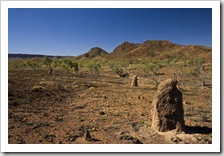
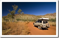
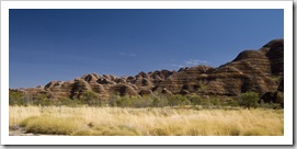
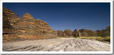
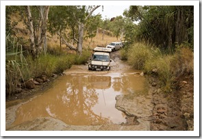
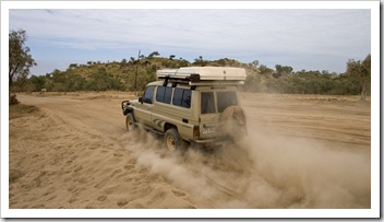
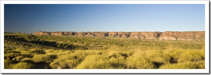
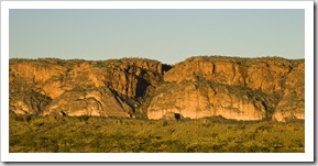
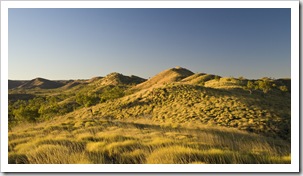
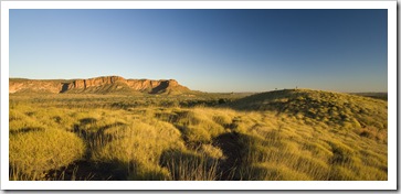
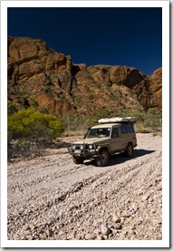
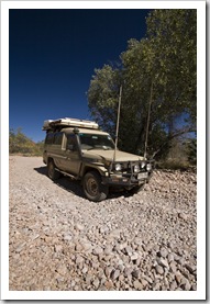
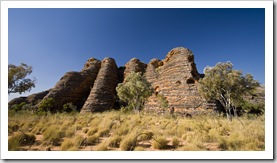
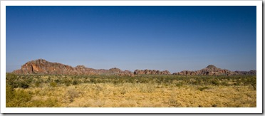
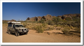
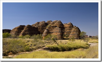
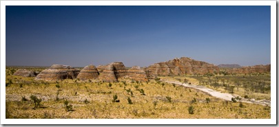
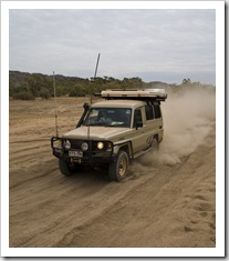 A few hundred kilometers south of Kununurra and a further fifty kilometers on a 4WD track (which took us two hours by itself!) took us to Purnululu National Park, the home of the Bungle Bungle Range. The road was quite a ride, nothing requiring low-range or lockers but definitely a couple of hours of severe corrugations, bulldust, creek crossings, big rocks and the occasional middle finger from a grey nomad if you happen to pass with a little too much speed! Colloquially known and simply the Bungle Bungles, Purnululu (meaning sandstone in Aboriginal) is a relatively new National Park, being declared in 1983 and receiving World Heritage listing in 2003. It is most well-known for the bee-hive rock formations displaying zebra-like alternating layers of iron oxide and prehistoric algae, as well as the bright red sandstone-ribbed range of the Bungle Bungles themselves.
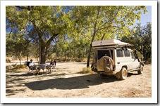
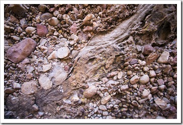
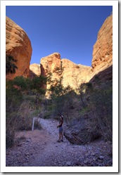
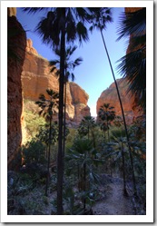
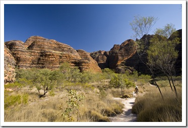
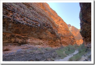
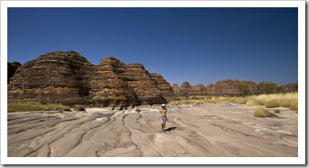
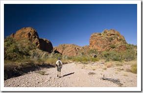 We spent three nights in Purnululu, giving ourselves more than enough time to take in its main attractions. We ventured out the first morning from Kurrajong Camp to the park’s northern attractions: Osmand Lookout, Echidna Chasm and Mini Palms Gorge. Echidna Chasm and Mini Palms Gorge are both carved into the Bungle Bungle Range itself, Mini Palms an easy walk along a dry creek bed into a deep, shaded gorge littered by Livistonia palms relishing the shade. As with Kata Tjuta (the Olgas), the Bungle Bungle Range is not solid rock but a conglomerate of millions of small round pebbles cemented together. The Mini Palms walk was a great way to see the rocks up close.
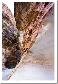
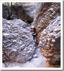
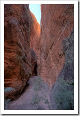
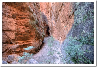
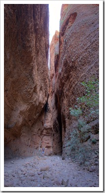
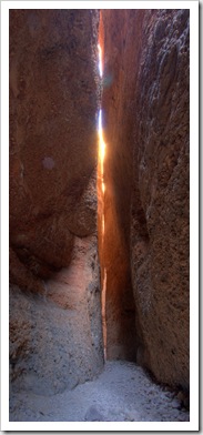
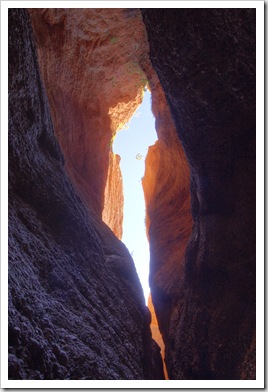
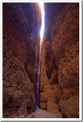
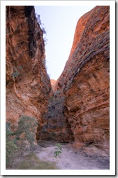
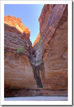
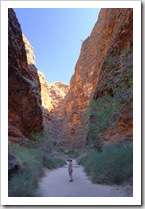
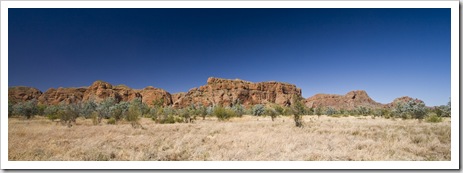 Echidna Chasm is located a couple of kilometers further north along the range from Mini Palms, the hike into the chasm was absolutely brilliant. A short walk up a dry creek bed and the walls began closing in around
 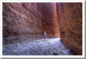 us until we were hiking through a trail that was at points only a couple of feet wide. The vertical walls lining the chasm at points exceed 200 meters in height. The chasm meanders deep into the Bungle Bungle Range, at each turn we thought the trail couldn’t possibly continue, but it kept winding its way back for what seemed like eternity. The rock shapes and light bouncing its way through the chasm had us often stopping to admire the view as well as take photos, the cool shade of the chasm a welcome respite from the heat out in the open. The chasm was formed by a fault in the range being carved away by water over millions of years, it was quite exhilarating walking through the thin crack as there were a number of points where large boulders had fallen and were wedged by the walls partway down the chasm (anyone ever read Between A Rock And A Hard Place?!).
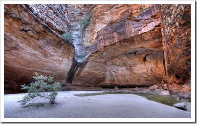
 We spent our other full day in Purnululu exploring its southern walks: the Domes Walk, Cathedral Gorge and Piccaninny Creek. The three walks form an interconnected loop that takes a couple of hours to explore, traversing the bee-hive domed rock formations for which the Bungle Bungles are so famous. On the way between our campsite and the southern walks Hunter
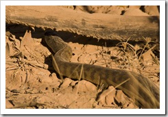
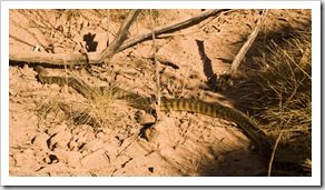
  Lisa again had a keen eye for wildlife and spotted the largest snake either of us has ever seen in the wild: a massive two metre long Black-Headed Python slithering along next to the road. I
 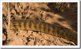 managed to get a few snaps of it (from a distance because we thought it was a Tiger Snake at the time!), very cool to see up close in the wild. The domed rocks’ shadows provided some much needed shade during the heat of the day, especially whilst hiking into Cathedral Gorge. It felt a lot hotter on our third day in Purnululu, I forgot my watch on the walk (which has a thermometer in it) but when we returned to my watch at the car at 11:15AM the inside of the cabin was 48°C (118°F)! We’d read that the alternating grey and red colors of the Bungle Bungle bee-hives is created by algae (grey) and oxidized iron in the soil (red), and that the layer of rock containing the colorful patterns is only centimeters thick. We found a spot along the Domes Walk where the crust had broken away, giving us a good view of the fragility of the outer layer of rock (pictured to the left here).
 A couple of travelers we met in Gregory National Park suggested that only one full day was required to explore Purnululu. While one could easily explore both the northern and southern walks in a day, doing so would mean hiking during the hottest hours of the day. With no water other than artesian wells in the campsites, it is surely a hot prospect to be hiking in the heat so we’re glad we allotted two full days and three nights to the area. Echidna Chasm was definitely the highlight for both of us, a fantastic hike through the 200+ meter walls forming a cut in the Bungle Bungle Range.
This entry was posted on Tuesday, July 21st, 2009 at 3:43 PM and is filed under Australia, Western Australia. You can follow any responses to this entry through the RSS 2.0 feed. Both comments and pings are currently closed.



some of these photos remind me of Zion
July 22nd, 2009 at 7:42 AM
[…] 4WD Action issue 144. This one documents our trip to Purnululu National Park and the Bungle Bungle Range when we were up north last July. The next article comes out in a few weeks in issue 145, I […]
March 10th, 2010 at 8:24 AM