Planet View: S14°49.233′ E125°43.080′
Street View: S14°49.233′ E125°43.080′
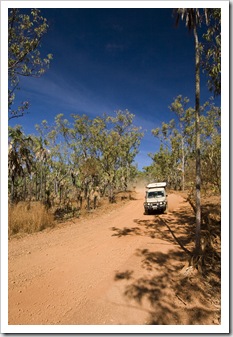 There’s not a single stretch of road about which we’ve heard more horror stories than the 80 kilometers between the Kalumburu Road and Mitchell Falls. Since leaving Kununurra we’ve heard everything ranging from it being closed to someone dying along its length! Fortunately for us we discovered ahead of time that a grader was working on the road so chose to spend a few days at
 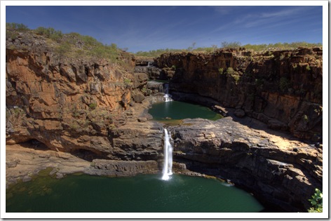 Kalumburu to let the grader finish before making our way in to the famous waterfalls. We camped the night prior at a fantastic campsite alongside the King Edward River and made an early start with the hope of making it to the Mitchell Falls helicopter base before all the day’s flights were booked out.
As we were driving into the falls we were thanking our lucky stars that we chose to visit Kalumburu first, some other travelers had reported that they’d averaged 18 kilometers per hour on the 80 kilometer road into Mitchell. But as we waited for the grader the road was in a lot better shape by the time we drove in, enabling us to average around 50 kilometers per hour without pushing it to much, requiring only about an hour and 40 minutes to make it from our campsite to Mitchell Falls Base.
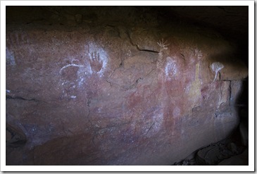
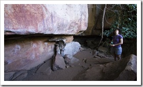
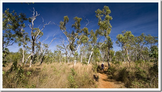
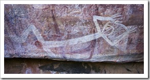 On arriving at Mitchell Falls Base we made a beeline for the Slingair bookings tent and were lucky to be able to slot in on a 1:15PM taxi flight back from the falls (compliments of Lisa’s generous parents). Very happy with ourselves at organizing our helicopter flight, we set off at around 9:30AM on the roughly three kilometer hike into the falls, passing by some fantastically preserved Aboriginal art sites along the way. The art forms pictured to the left are thought
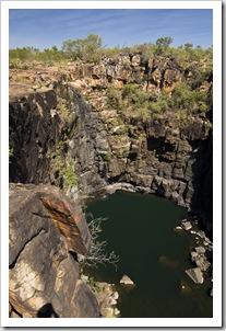
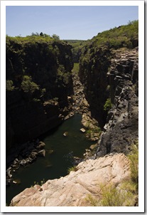
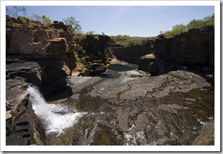
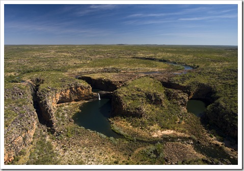
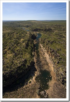
 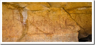 to be between 30000 and 40000 years old, making them the oldest art styles in the Kimberley. The painting to the upper right is estimated to be around 7000 years of age, while those depicted on the yellowish rock below right are examples of Gwion (also known as Bradshaws) art and are estimated to be at least 17000 years old. The trail to the falls winds its way alongside Mertens’ Creek, it was quite rocky at points and required some clambering over rocks. Unfortunately Big Mertens’ Falls was nothing more than a trickle due to this year’s mild wet season, but it was still quite a sight to stand at the top of the falls and look down at the massive gorge formed by the waterway.
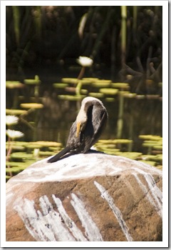
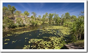
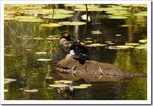
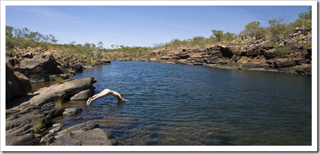
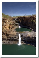
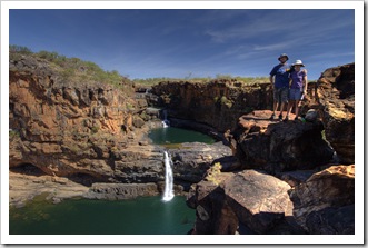
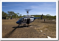
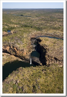
 From Big Mertens’ Falls we made our way around Lily Lagoon, Hunter Lisa spotting another water monitor scurrying through the rocks and both of us enjoying all the birdlife in and surrounding the tranquil pool. A few hundred meters beyond Lily Lagoon and we were at the top of Upper Mitchell Falls, a massive cascading series of waterfalls plunging into a gorge below. Mitchell Falls form Western Australia’s largest multi-tiered waterfall, a pretty awesome sight. We spent a couple of hours swimming and enjoying the sun at the waterhole at the very top of the falls before being picked up at 1:15PM by the Slingair helicopter taxi for our flight back to The Tank at Mitchell Falls Base. The helicopter landed on the rocky outcropping at the very top of the
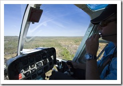
  falls, it had open-air rear seating for three and a single seat shotgun next to the pilot. Lisa rode in the back with the wind in her hair while I was up the front near the pilot (I didn’t have a strap
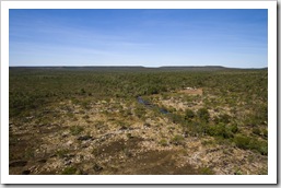
 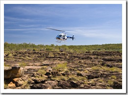 for the camera and there’s no loose objects allowed in the rear for safety purposes). The flight was unbelievable, the pilot made a number of figure eights over Mitchell Falls and Big Mertens’ Falls to allow everyone a good view. He provided us with some interesting trivia tidbits along the way as well as pointing out the Mitchell River headwaters in the distance and the massive expanse of the Mitchell Plateau. Back to land at Mitchell Falls Base in what’s not much more than a dirt clearing in the middle of the bush and we were back at The Tank for the drive back to our campsite at King Edward River. What an awesome day! Thank you Carol and Greg for the flight, an experience we’ll never forget!
This entry was posted on Sunday, August 2nd, 2009 at 12:00 PM and is filed under Australia, Western Australia. You can follow any responses to this entry through the RSS 2.0 feed. Both comments and pings are currently closed.



[…] Kalumburu, a small Aboriginal community on the coast, and also to the famous Mitchell Plateau and Mitchell Falls. After quite a few visits to the sole RAA contractor during our time in Kununurra we became […]
August 8th, 2009 at 5:16 PM