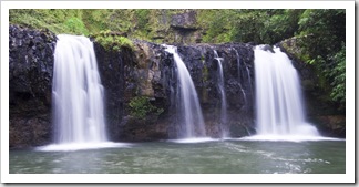
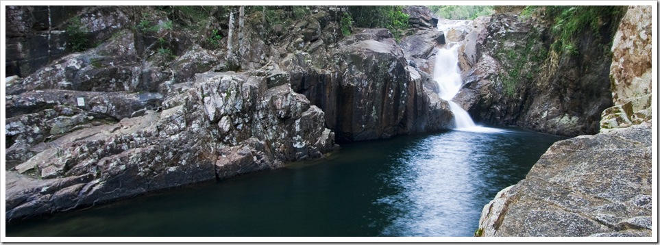
Water Temperature: 22°C (72°F)
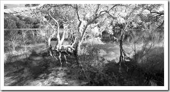
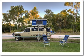
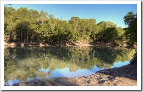
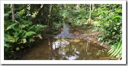
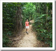
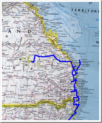
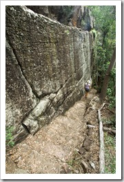
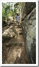
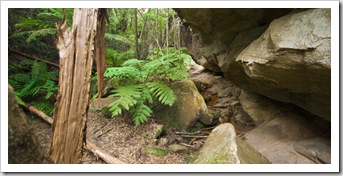
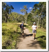
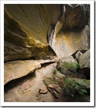
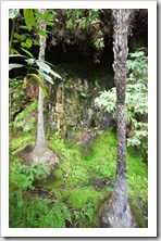
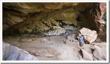
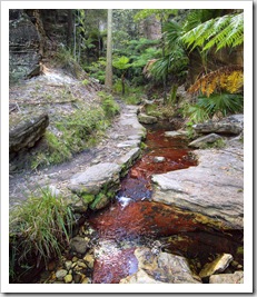
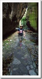
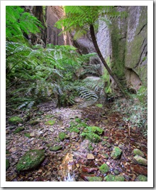
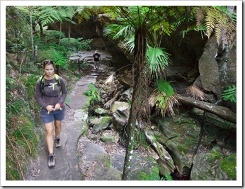
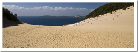
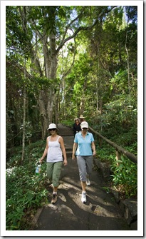
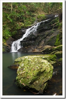
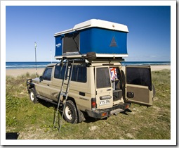
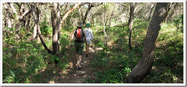
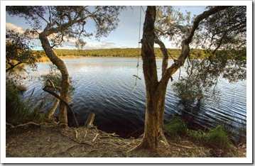
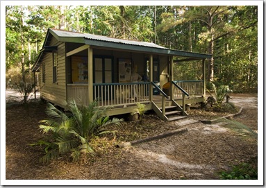
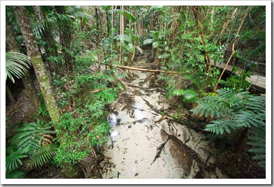
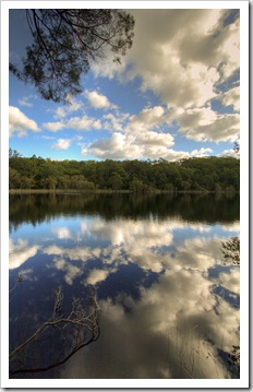 From having a house over our head in Coolum for a few weeks we again returned to the comfort of the Blue Room and hit the road. We stopped off for the night to visit my auntie in Hervey Bay, great to catch up with her and see where she’s been living for the past few years (I’d never been to Hervey Bay before…). On our way back to Inskip Point from Hervey Bay we stopped off in the Cooloola section of the Great Sandy National Park to kill the afternoon, venturing along the Freshwater Track for a hike through the rainforest to Poona Lake.
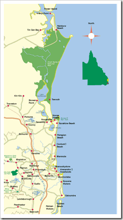
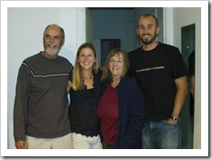
Fraser Island is the world’s largest island composed completely of sand. It’s a staggering 124 kilometers (77 miles) long, the length of its eastern side bordered by beautiful beaches and pristine turquoise ocean while its inner reaches are covered with thick bush and rainforest. One of Fraser’s main pulls for tourists is its collection of perched freshwater lakes, supremely clean bodies of water that are fed from underneath by aquifers that filter water through the sand. Without any hint of a road anywhere on the island, Fraser remains a completely 4WD-only paradise, right up our alley! Keen to test out their new Toyota Prado (whom we named Peter) after recently moving to Brisbane from London, my cousin Sarah and boyfriend James came up to explore Fraser Island with us. After three weeks with us exploring the Great Ocean Road and Victorian High Country earlier this year, Chris was also keen for some more adventures with The Tank so put in a marathon slog to cover 2400 kilometers (1490 miles) from Adelaide to meet us at Inskip on Friday evening. That’s some serious desert to cover in a span of 39 hours!
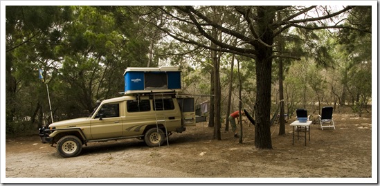
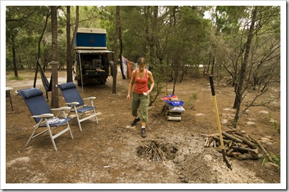
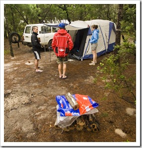
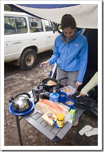
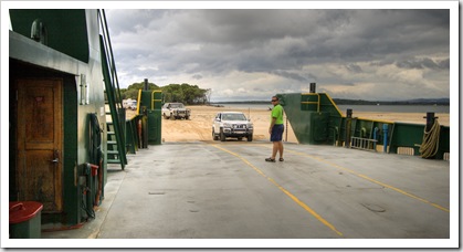
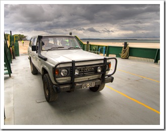
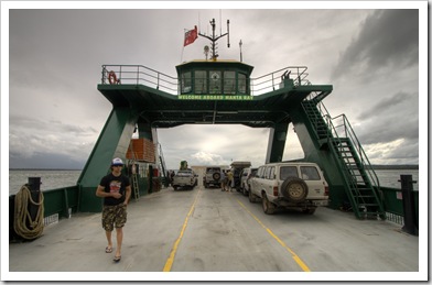
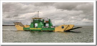
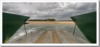
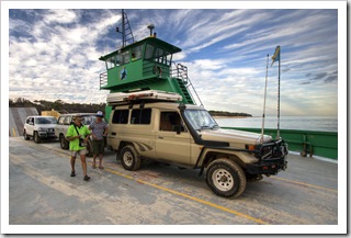
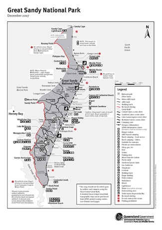 After a wet night camping at Inskip and a quick trip back to Rainbow Beach to grab some fishing tackle (something big bit one of my Tailor lures clean off the day before) we all boarded the Manta Ray Barge bound for Fraser Island. The only way to access Fraser is via barge or plane, there are two barges operating at Rainbow Beach and a couple more further up the Great Sandy Strait toward Hervey Bay. With tyre pressures lowered and 4WD engaged
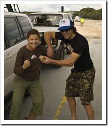
 for a week on the sand we all boarded the barge without any dramas. I’ve heard many a story detailing the number of people that get bogged boarding the barge… Not us! We did have to wait on the barge to depart though, one of the rental 4WD vehicles got itself bogged within a metre of exiting the barge. We were all amazed that they let tourists without a skerrick of off-road driving experience onto the island in rental cars.
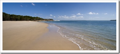
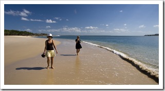
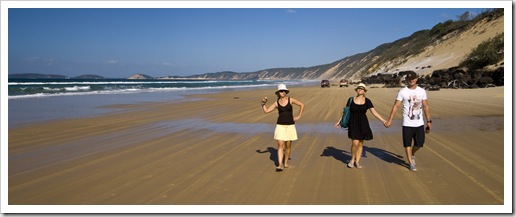
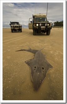
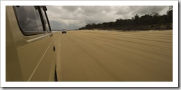
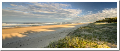
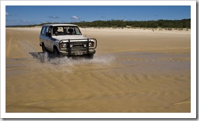
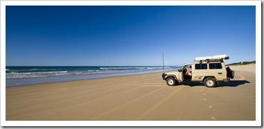
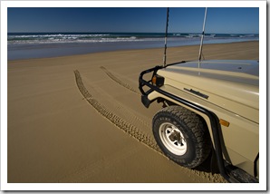
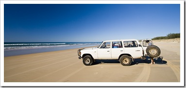
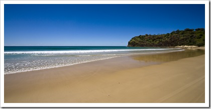
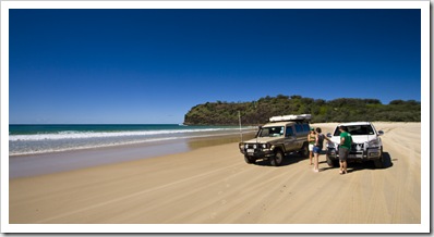
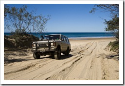
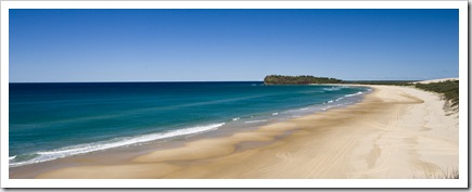
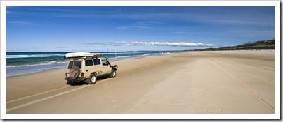
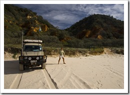
The beach around the base of Fraser’s Hook Point is only passable at low tide, so we coincided our arrival with the 11:00AM low and cruised around the point to the eastern beach excited to finally all be together on a new adventure. At low tide driving on the seemingly endless eastern beach was a real hoot, almost level sand packed down by the receding tide makes the sand a veritable highway for 4WD vehicles. The speed limit is 80KPH (50MPH) on the beach, so much fun buzzing across the sand in a troop of three vehicles with nothing but the turquoise ocean and amber beach in sight. (I think Chris pushed Bessie to 100KPH [62MPH] a couple of times but we’ll keep that on the down low…)
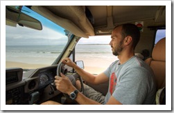
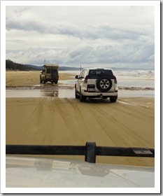
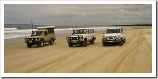 In the old days a trip to Fraser was a lot less restrictive than it is today. You used to be able to camp anywhere along the eastern beach and have campfires to warm up the evenings. These days the massive influx of tourists in rental 4WD vehicles, and the increase in home-grown 4WD adventurers like us has necessitated the Parks and Wildlife Service limiting the areas in which camping is allowed and ban all campfires except in two designated campsites at the north of the island. Fair enough, Fraser is a real jewel of wilderness and a very unique place that deserves all the protection it can get!
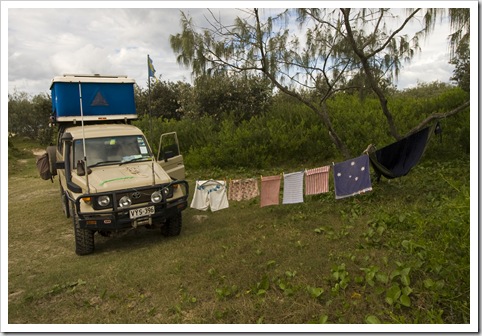
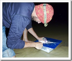
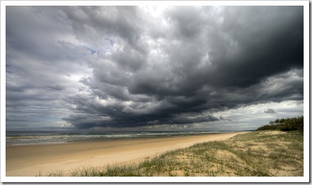 We spent our first night camping in the foredunes in the Wongai beach area just south of Eurong. A beautiful spot in the bush a few meters back from the beach, we spent the afternoon fishing in the surf and I managed to nab a few good-sized Tailor for the troop’s dinner. Most things you’ll read
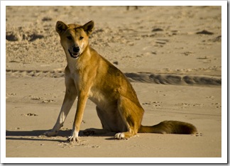
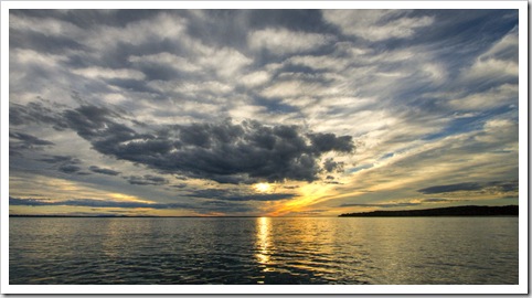
 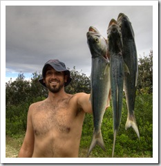 about Fraser include some kind of warning about the dingoes endemic to the island. Fraser houses the last purebred dingoes in Australia, the limited land mass and rife breeding of the dogs means that a lot of them struggle for food. As a result, there’s been a few occasions when the usually standoffish pups have attacked humans. The conniving canines also manage to steal quite a bit of food from campsites. We had a rude introduction to the Fraser dingoes on our first night at Wongai, away from camp for no more than five minutes and only 20 meters away at the beach we returned to find that a dingo had got all the way into the back of The Tank to steal our bread and English muffins! We certainly didn’t leave anything out for the rest of our trip, crafty little devils… A pretty wild and windy first day for us on the island, the storm clouds pictured here looked like they were going to open up on us but fortunately just provided some awesome cloudscapes and a warm covering for the night.
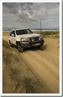
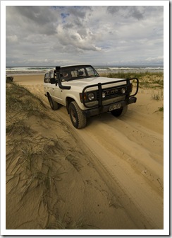
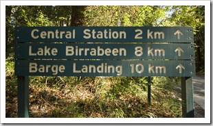
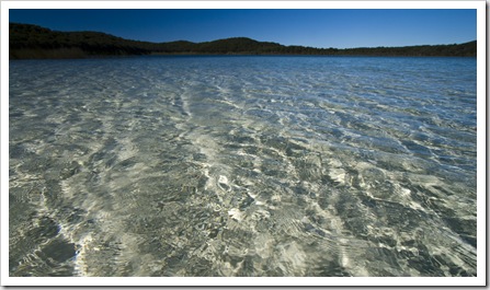
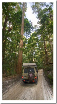
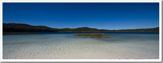 The weather turned perfect for us on our first full day on the island, brilliant blue skies and calm ocean met us on Sunday for our adventure inland to some of Fraser’s famous lakes. We took the inland track from Eurong toward Central Station and Lake Birrabeen, a beautiful drive through some of the island’s rainforests covered in towering trees and majestic ferns. Lake
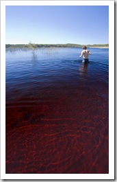
  Birrabeen is one of the few clear lakes on Fraser, the crystal clear water and soft sand made it quite a surreal experience taking a dip. As we’d heard, the silica in the water really did polish up the jewelry and metal watches we were all wearing! We also stopped off at Lake Boomanjin, similarly
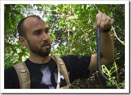
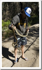
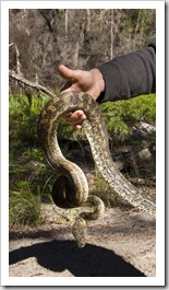
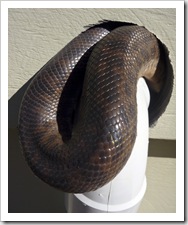
 pure water but stained by the tannins from the surrounding vegetation, the water of Boomanjin was a striking tea colour. Chris spotted a nice sized Carpet Python on the track back to the coast from Lake Boomanjin, growing up with reptiles and being a zoo keeper by trade he confidently picked up the slithering reptile and put it out of harm’s way in the bush. What an action packed morning!
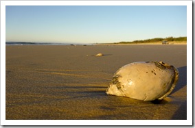
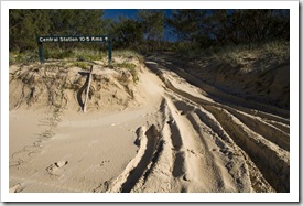
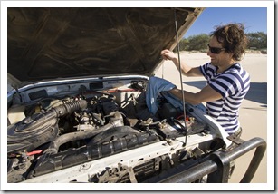
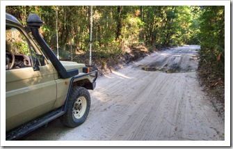
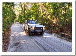
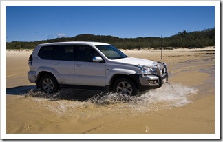
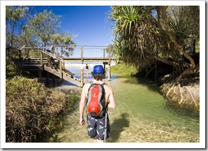
 After our tour of the lakes we buzzed further north up the eastern beach, crossing a myriad of freshwater creeks running into the ocean on the way toward Eli Creek. Eli is one of the largest streams flowing into the Pacific on Fraser’s eastern coast, a tranquil brook flowing beneath the palms across some strikingly white sand. In some spots the water was so clear and sand so white it was hard
 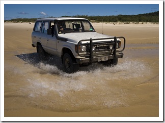 to tell if there was water in the
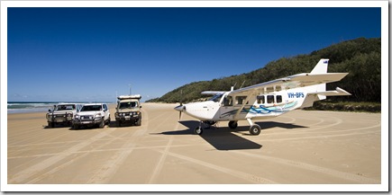
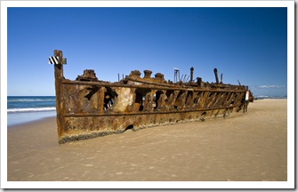
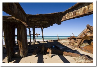
  creek at all! We passed the plane that transports the park rangers to and from the island each day, stopping for a chat to the pilot as he was lapping up the afternoon sun. The sand is so flat and packed on the eastern beach that the planes can land almost anywhere along its length at low tide. We also stopped off at the famous Maheno Wreck, one of the many boats that have come to rest around the island and a great spot for a few photos.
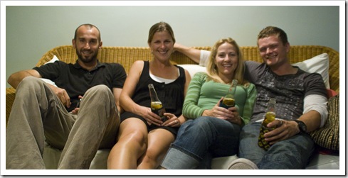
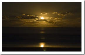
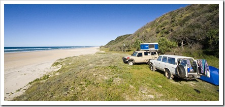
Our second night on the island was spent at the Guruman camping area just south of Dundubara. We actually planned 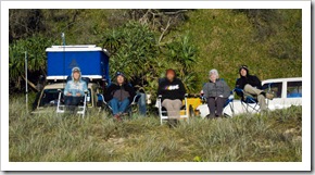 on spending the night at Dundubara and having a campfire, but the obtuse bureaucrats at the Queensland Parks and Wildlife Service have developed a system whereby you must book a campsite ahead of time via phone to stay at a designated camping area. To Californians that may sound commonplace, but in a country where I’ve never seen a National Park campground full it is a very frustrating system. A system adopted only by Queensland and one that surely needs some rethinking… Anyway, Guruman was a great spot, we setup in the foredunes overlooking the eastern beach and Pacific Ocean. We had the place to ourselves and spent the afternoon fishing, swimming and slinging the Aerobie up and down the wide expanse of the beach. Without a fire to keep us warm we instead opted to warm from the inside with a few beers and some port, taking in a brilliant moonrise and amazing stars late into the evening (the photo to the right here is us watching the moon, but with the shutter open for 30 seconds it looks as bright as day!).
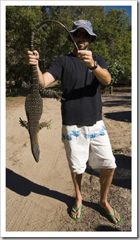
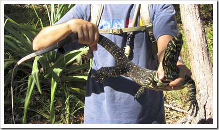
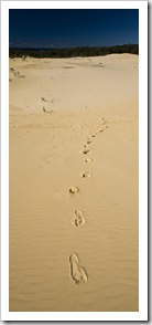
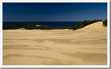
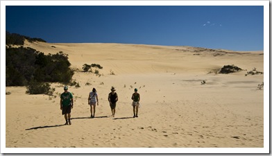
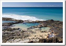
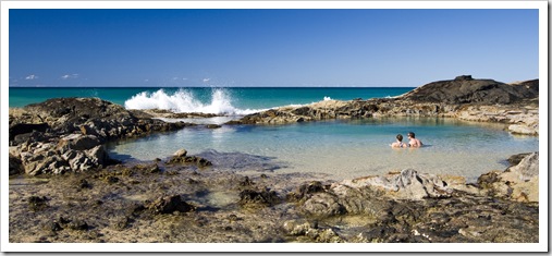
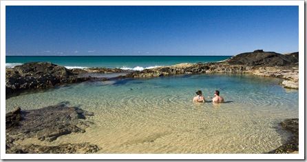
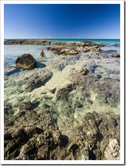
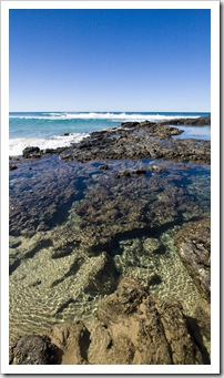
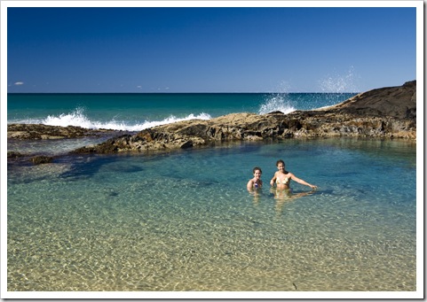
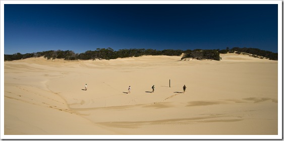 Before continuing north to Waddy Point we stopped into Dundubara for a hike across the expansive Wungul Sandblow. Kind of gave us an idea what it would be like to be lost in the desert, such a massive swath of sand. We had a bit of a wildlife experience while lunching at Dundubara: I encountered a big Lace Monitor patrolling for scraps and James ran into a python crawling into the toilet block. Wouldn’t fancy meeting him in a stall! More speed driving up the eastern beach took us to Indian Head and the majestic Champagne Pools at Middle Rocks. Champagne Pools are a couple of natural rock pools that fill with water at high tide, when waves crash into the pools they form bubbles, hence the name… It was an awesome spot to relax on our way to Waddy Point, couldn’t have asked for better weather to take it all in and having the pools to ourselves for a dip was a real treat.
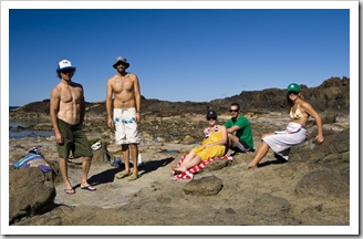
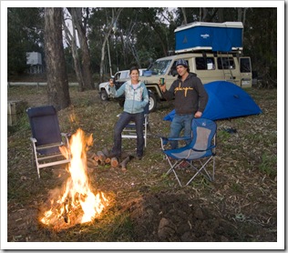
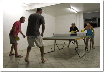
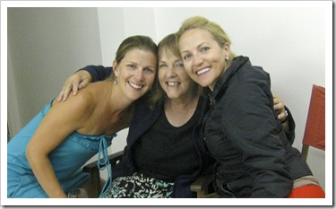
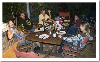
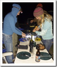
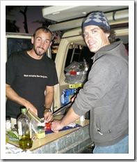
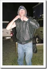
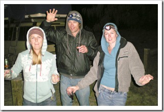
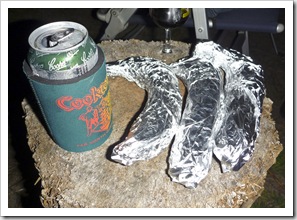
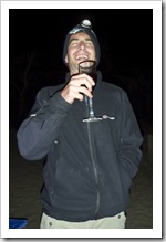
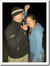
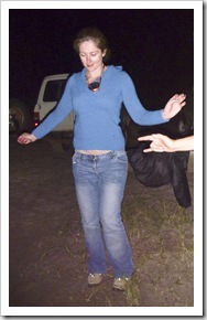
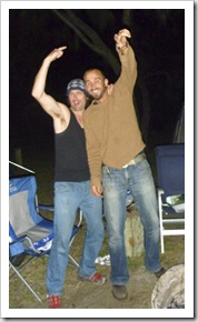
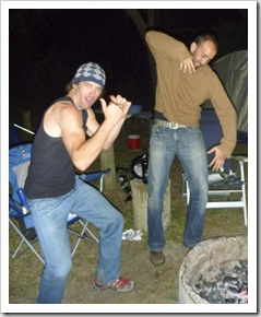
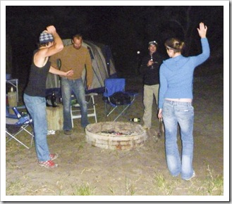
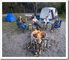
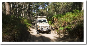 Across the inland track from Middle Rocks took us to Waddy Point, the other of the designated camping area on the island where campfires are permitted. Due to the fact we could have a fire and the place was almost deserted except for us we ended up staying a couple of nights at Waddy. Tucked behind a freshwater marsh from the north facing Waddy Point beach it was awesome to have the warmth of a fire during the cool evening air. After a brilliant dinner of eye fillet steaks the wine, beer and port all started flowing quite heavily during our first night at Waddy. I don’t remember a great deal of the photos taken below but it looks like everyone had a pretty fantastic time. I’ve never seen Sarah tear up the dance floor like she did that night. I think it’s a good thing we had the place to ourselves!
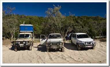
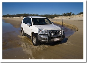
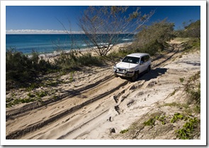 From Waddy Point we embarked on our most challenging day of 4WD tracks, the infamous Ngkala Rocks bypass on the way to
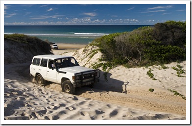
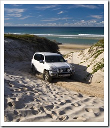
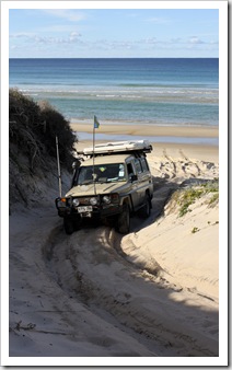
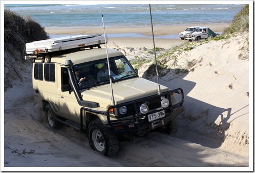
 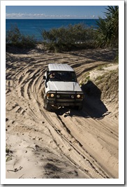 Fraser’s northernmost tip at Sandy Cape. I’ve seen photos of vehicles flipped off the edge of the dunes and onto the rocks below at Ngkala, so was a little wary when we reached the track after buzzing up the eastern beach from Waddy Point early in the morning. Ngkala Rocks is the point at which all hire vehicles on the island must turn back, so we were of course keen to test our mettle with the island’s toughest section of sand. In 4WD low-range we all powered up the first section of the track and through the drop back onto the eastern beach on the other side. It was actually a lot of fun, Peter Prado (Sarah and James’ vehicle) made it look so easy, Peter’s much lighter and lower to the ground than The Tank. Unfortunately no pictures of The Tank conquering Ngkala as Lisa hates driving in the sand, but it was some pretty deep sand, definitely put the low-range to work.
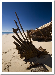
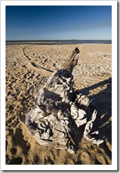
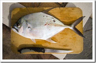
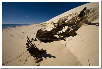
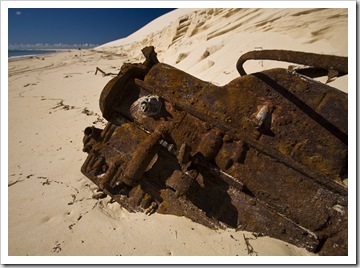
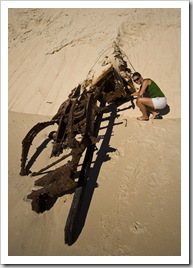
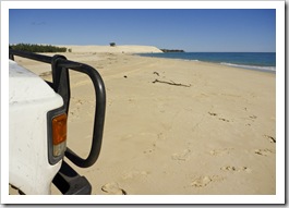
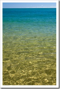
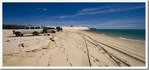 Roughly 20 kilometers (12.4 miles) further north of Ngkala lies Sandy Cape, Fraser’s northern tip. It’s a very isolated cape where the currents converge in such a way that all manner of debris is washed up on the beach. There were a few rusted vehicle chassis lying on the beach below the Sandy Cape sandblow, a striking reminder of what can happen in such a remote location if you lose concentration behind the wheel or attempt something silly. We spent most of the day at Sandy Cape, enjoying the crystal clear water and trying to pull in some of the Tailor we could see powering through the waves. James pulled in a Longtom but unfortunately no Tailor. Regardless, an awesome place to spend the day and take in the beautiful coastline of Fraser Island.
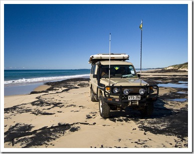
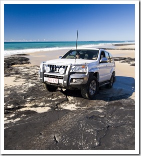
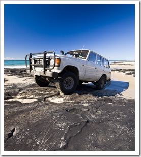
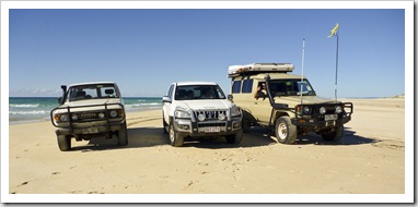
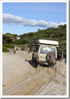
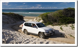 The return journey to Waddy Point from Sandy Cape was a little more challenging. The reverse direction around Ngkala Rocks took us all a couple of tries each. The steep entrance through deep sand up the track caused The Tank and Bessie to bog down and lose momentum, while James and Sarah had a little trouble with their lower
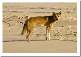
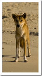
  clearance and skid plate bottoming out. We all made it through eventually though, a hell of a lot of fun and quite rewarding to complete the track. There was a lot of hooting and hollering as each of us made it up the embankment. On the way back to Waddy we caught a glimpse of a dingo on the beach,
  comfortable enough around the vehicles for some great close-up photos. We also stopped off at picturesque Ocean Lake, another tannin-stained freshwater pool encompassed by reeds and trees. It was another great night around the fire at Waddy after enjoying a fabulous Fraser sunset, a little quieter than our escapades the night before, James was definitely steering clear of excessive amounts of port!
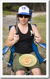
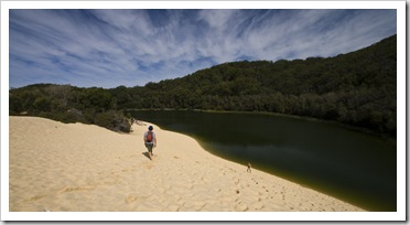
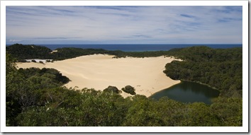 Sarah outdid herself with a pancake breakfast for us all before we packed up and headed back south from our Waddy Point campground. After a quick look at Red Canyon we headed inland toward Lake Wabby, another of the aquifer-fed freshwater lakes perched in the sand of Fraser Island. It was a quick walk from the vehicles to the Wabby lookout, from where James and Chris saw a swath of European tourists in bikinis and convinced us all to make the couple of kilometer walk down to the water for a swim. It was well worth it, the giant catfish in the lake were quite a sight and a quick dip very refreshing.
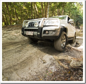
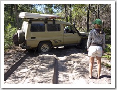
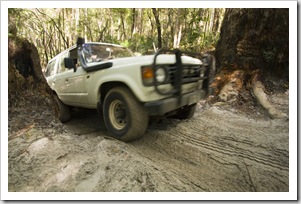
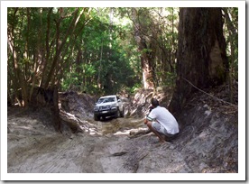
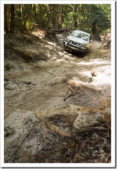
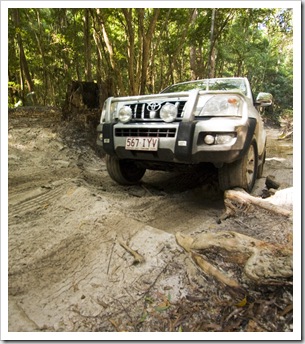
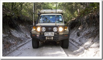
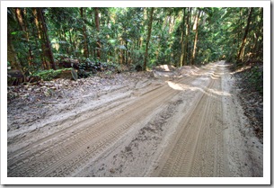
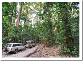
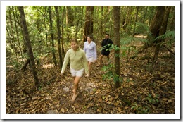 From Lake Wabby we continued on the inland track toward Central Station, through some swampy sections amidst the Eucalypt bushland and across a couple of mildly technical climbs across gnarled roots poking out of the sand. Peter Prado managed to sustain the only damage of the trip, I have a feeling the photos here are going to be used as evidence in a few heated discussions between James and Sarah over the damage to the front fender! The track wound across sandy low-growing Eucalypt scrub and eventually into Pile Valley, a collection of towering rainforest Satinays and Brush Box Pine
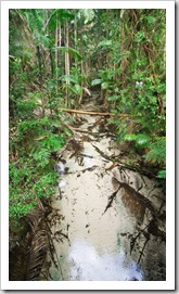
 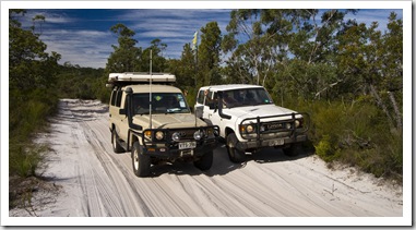 that are some of the last remaining old growth trees on the island. When the logging of Fraser was in full swing the trees from the island’s centre were used to make sailing ships and even the walls of the Suez Canal, where they remain to this day. We also took a look at Central Station, the centre of island activity during logging times, and took a walk along the pristine Wanggolba Creek. The water for the creek is spring fed from underground aquifers and is allegedly some of the purest water on the planet. As with Eli Creek, it was tough to even see the water over the white sand in some spots, so amazingly clear…
 We had originally planned to spend the night on Fraser after our trip to Central Station, but upon arriving at our intended campsite, seeing all the mosquitoes and reminding ourselves that we wouldn’t be able to have a fire we instead opted to jump on the last barge off the island and spend another night by the beach at Inskip. It was an absolutely awesome trip, everyone got on like a house on fire (except for Sarah and James when James ate Sarah’s banana cake) and will definitely be remembered as one of the highlights of Our Walkabout. Credit to Chris for letting me steal some of his photos for this post!
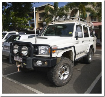
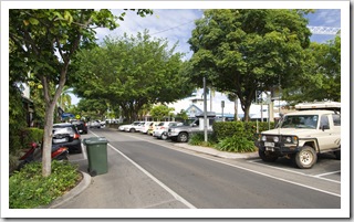
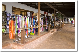
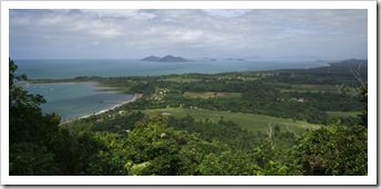
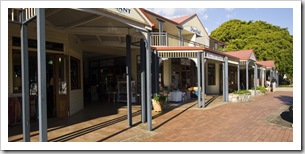
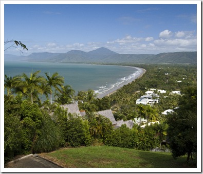 Although we had absolutely no intention of staying a night in Port Douglas (the exclusive resort town is a little high-priced for our current modus operandi) we dropped in to have a look around on our way down the mountains from the Atherton Tablelands. Port Douglas is basically a collection of luxurious tropical resorts, a beautiful white sandy beach and palm-lined main street littered with everything from swish cafes to famous restaurants. Fun to take a walk down the main street and a drive up to the lookout above town afforded us a sweeping view of the coastline extending south.
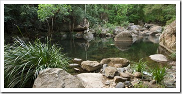
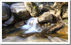
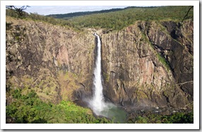
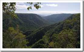
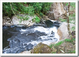
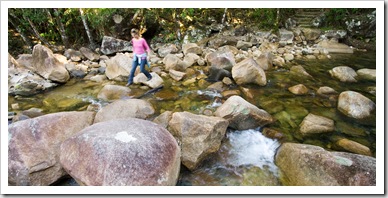
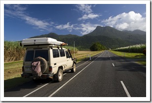 We spent a night in Mossman on our way into the Daintree, ducking in for an afternoon look at the Mossman Gorge section of Daintree National Park only a few kilometers from town. Mossman Gorge is one of the more famous stop-
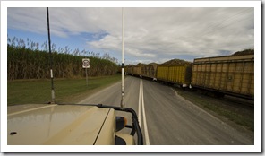
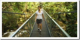
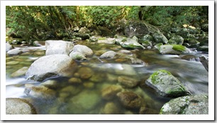
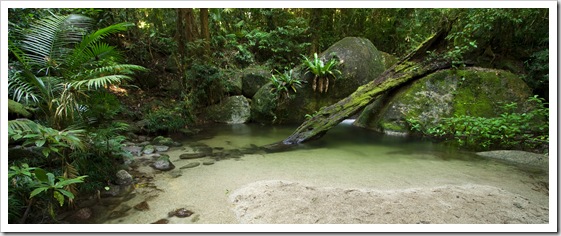
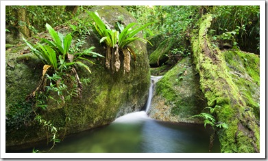
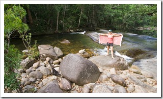
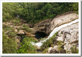
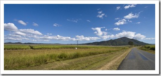
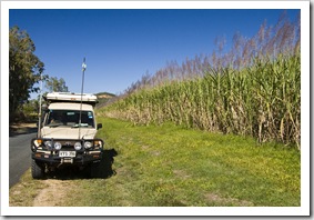
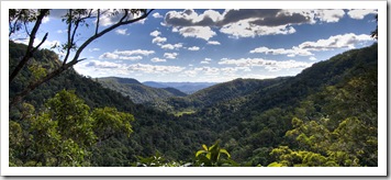
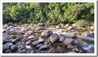
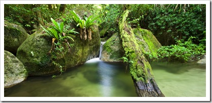 offs in the northern tropics region of Queensland, its proximity to Port Douglas and Cairns making it a popular spot for tours from the two regional centers. The Main Coast Range springing from the cane fields around Mossman was quite a sight, towering jungle-covered peaks extending toward the clouds make up the almost completely inaccessible National Park. Mossman Gorge has a few short walks, all of which we explored within an hour, and quite a few spots for a swim along the beautiful length of the gorge, a refreshing way to escape the heat and humidity.
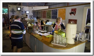
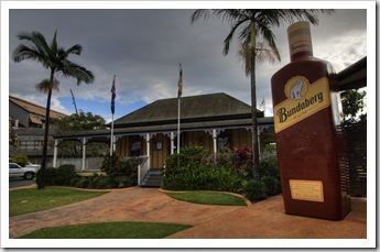
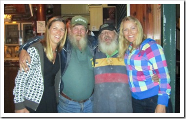
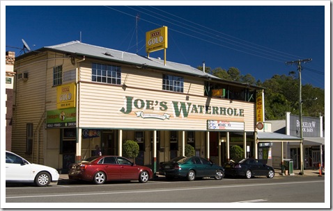
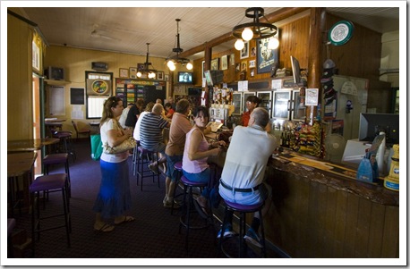
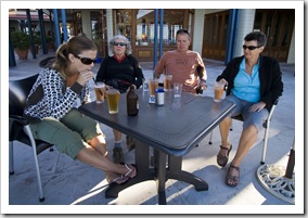
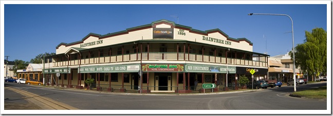 Our caravan park in Mossman was only a few hundred meters from the Daintree Inn pictured here. Always keen to check out a local pub and meet some of the townsfolk, we wandered in after dinner for a few beers and a game of pool. As soon as I’d put my coin in the slot of the pool table, behind me I heard a loud “Hey big fella, you wanna play, I play you!” Obligingly, instead of enjoying a quiet game of pool with Lisa I played against a middle-aged Aboriginal woman named Doreen (or Dora the Explorer to her grandchildren). Lisa and I both enjoyed a chat with Doreen throughout the game, having a good laugh at some cringing expletives she let out when things didn’t go her way, and repeatedly surprised at some of the shots she pulled off while completely inebriated. We later learned from some of the other locals that Doreen hustles herself into quite a few games of pool at the Daintree Inn, usually finding a way to avoid paying for a game even if she’s challenging for the table! Definitely one of those nights we’ll look back on and have a laugh about for many years down the track…
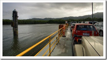
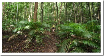
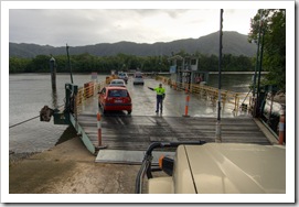 We set into the Daintree proper from Mossman, taking The Tank for another boat ride over the Daintree River on our way into the Cape Tribulation section of Daintree National Park. The density of the jungle north of the Daintree River was quite spectacular, we couldn’t see more than a few meters into the thick undergrowth on either side of the road. The humidity was another memorable aspect of the area, it hung over us like we
  were back in Southeast Asia, we both just wanted to reach out and part
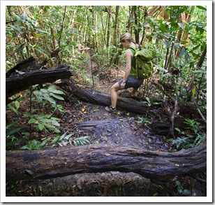
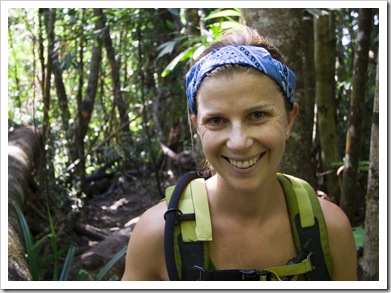
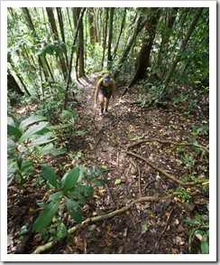
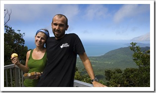
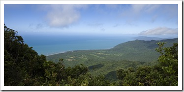
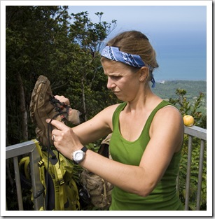
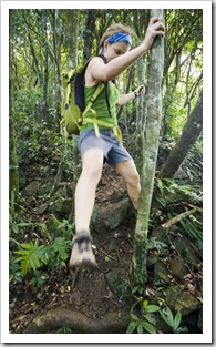
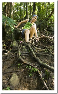
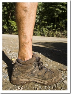
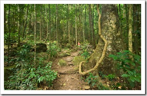
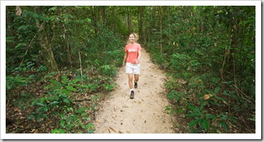
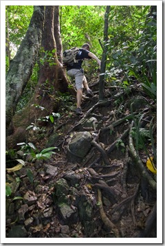
 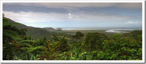 the moisture. We spent the day around Cape Tribulation with a hike to Mount Sorrow, a grueling climb from sea level to the 680 meter (2230 foot) saddle below the mountain’s peak. The hike is only seven kilometers (4.3 miles) round trip, something we’d usually complete in 90 minutes. But the near vertical stretches of the climb across slippery rainforest roots and slick mud slowed us down considerably, it took us almost four hours to make it up and back. We were absolutely sopping wet with sweat upon reaching the lookout below Mount Sorrow, excited to have completed our climb but exhausted after traipsing through the thick undergrowth at near-100% humidity. We both had some unfortunate run-ins with leeches on the way up, finding a couple in our shoes, and I had a tick make its way into the skin below my collarbone some time during the trek. Great to get some exercise but definitely one of the toughest walks either of us has ever done.
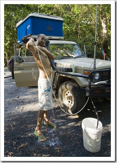
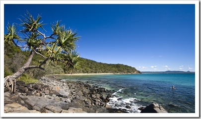
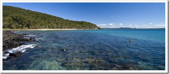
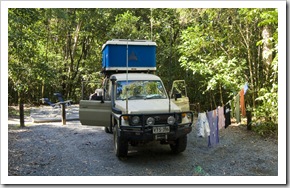 The section of coastline around Cairns and Port Douglas isn’t overly friendly when it comes to campsites for travelers like us, the stretch of almost 170 kilometers (106 miles) is completely devoid of campgrounds from Babinda to midway through Daintree National Park. The one and only campground in Daintree National Park is located just south of Cape Tribulation at Noah Beach (S16°07.986’ E145°27.065’), a selection of 15 sites in the rainforest just back from the ocean. It’s the only time we’ve felt the need over the past 14
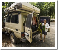
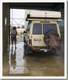
 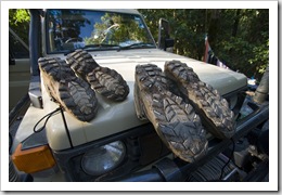 months to book a campsite in advance, and lucky we did because the place was full! We were extremely grateful for the hot shower on the front of The Tank after our hike to Mount Sorrow, exhausted after the walk it was a godsend to have a cleansing rinse before dinner. The Daintree rainforests contain an astonishing 30% of the frog, marsupial and reptile species found in Australia and 65% of Australia’s bat and butterfly species. We had a visit from a few bats buzzing around our heads whilst eating dinner, plenty of small frogs hopping about the place and even a Long-Nosed Bandicoot visited when we were reading up in the Blue Room.
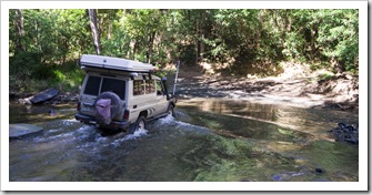
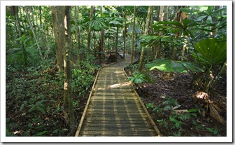
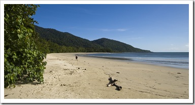
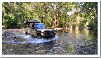
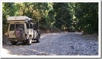
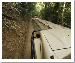
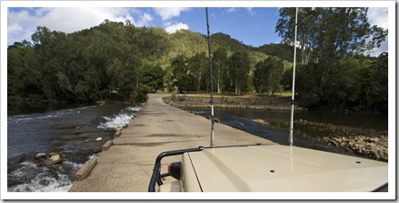
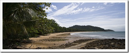
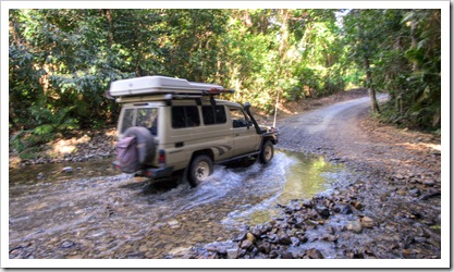 On our way north out of Daintree National Park we took a quick stroll along the Dubuji Boardwalk and a look at Cape Tribulation. So unfortunate that the ocean up in this area of the country is off-limits to swimming due to Estuarine Crocodiles, some beautiful stretches of white sand around Cape Tribulation that’d be perfect for a day on the beach. The road from Cape Tribulation to Cooktown through the remote northern reaches of Daintree National Park is a 4WD-only affair: plenty of water crossings and some nail-bitingly steep climbs and descents made for quite a fun return to the world of off-roading for The Tank. Just a warm up for our coming trip to Cape York Peninsula!
