Planet View: S41°34.734’ E145°56.098’
Street View: S41°34.734’ E145°56.098’
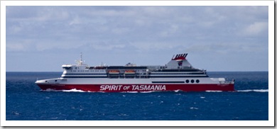 From King Island we flew back to Melbourne for one more night with the Kennares and then hopped on to the Spirit of Tasmania for our journey across Bass Strait. Although we left an hour late and were on the boat for more than nine hours, I really enjoyed the trip on the ferry (I’m not sure I can say the
  same for Lisa and the Youngs…). With a couple of bars, plenty of food, a casino, restaurant, live music, cinema and a well-stocked gift shop there was plenty to keep us all entertained. We arrived in Devonport (S41°10.427’ E146°22.211’) late on Friday night, quickly checked-in to the Abel Tasman Caravan Park and then made a beeline for the nearest pub. I wish pubs on the mainland still had prices like those in Devonport: at the Edgewater Hotel
  the four of us ate a sit-down restaurant meal with a round of drinks for $65.00. Nice! Quarantine regulations prohibited us from bringing fish, fruit or vegetables across on the ferry so we had a big restocking at Devonport’s Woolworths the morning after our arrival before heading into the Tasmanian high country.
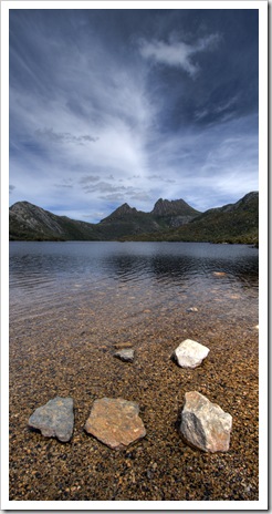
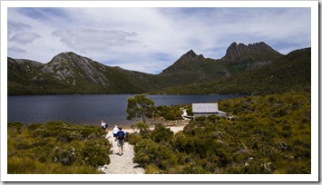
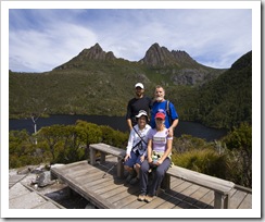
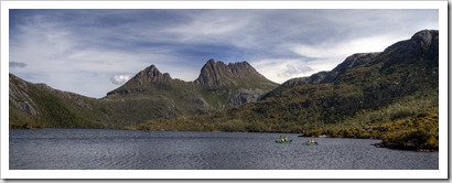
From Devonport we set our sights on Cradle Mountain-Lake Saint Clair National Park, roughly 85 kilometers inland from the coast. It was a beautiful drive through the mountains, we stopped off at Sheffield for a quick lunch at the bakery and continued on through the fern-filled forests of the Tasmanian high country. The Tank doesn’t appreciate mountains as much as we do: on the way up she always seems to need a second-and-a-half gear and on the way down she’s too heavy for the engine to slow her down. It becomes a delicate juggle between speed and heating up the brakes. Nonetheless, we made it to Cradle Mountain-Lake Saint Clair National Park in one piece, where we checked into the only campground in the park’s northern section and spent the afternoon hiking around Dove Lake with spectacular views of Cradle Mountain in the distance.
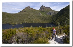
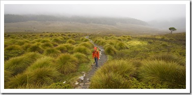
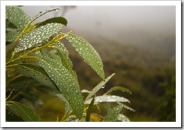
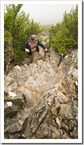
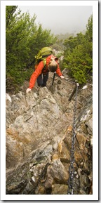
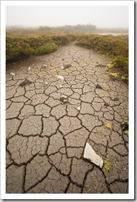
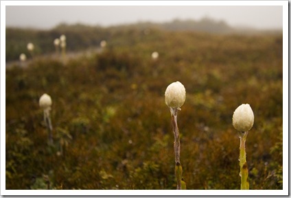
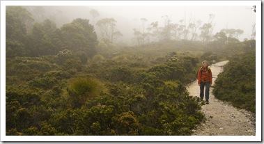 On our second day in the National Park we set our sights on a five-or-so hour walk traversing 4200 vertical feet and completing a loop along the striking cliffs encircling Crater Lake. It was an interesting day of weather, to say the least: I started off in shorts and a t-shirt and at one point during the day was wearing three warming layers plus a Gore-Tex rain jacket! Our hike began at Ronnie’s Creek parking lot, the beginning of the famous Overland Track, a walking trail traversing the National Park from Cradle Mountain to Lake Saint Clair and taking roughly six to eight days to complete. It was a misty walk up into the rainforest surrounding Crater Creek, at times we struggled to see 50 meters in front of us,
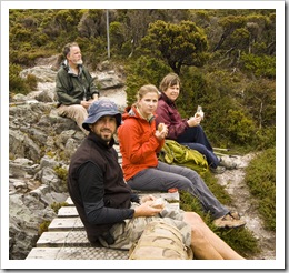
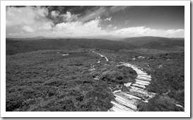
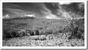
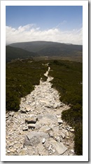
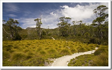
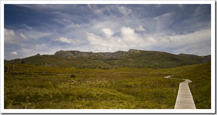
 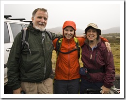 a stark difference to the brilliant blue skies of the day before. By the time we reached Marions Lookout (S41°39.630’ E145°57.169’) we hadn’t seen much of the beautiful vistas surrounding us, the fog and misty rain was still quite thick and the wind was making things a little miserable. We hiked around the cliff tops of Crater Lake and passed by Crater Peak, all agreeing that with the dense fog it wasn’t worth the hike to the summit if we couldn’t see anything! It was through the boggy highland swamps and back down to Crater Creek for lunch, roughly halfway between our high point for the day and the Ronnie’s Creek parking lot. While we were eating the skies began to clear, after we’d finished lunch Crater Peak finally came into view. I decided that I couldn’t complete the Crater Lake hike without even a photo of the picturesque lake itself, so Carol, Greg and Lisa continued down to the vehicles while I bolted back up to the top of Crater Peak for some absolutely brilliant views of the trail we spent all morning hiking (but hadn’t really seen!). The cliffs dropping into Crater Lake are so sheer that there’s really only
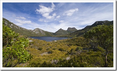
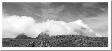
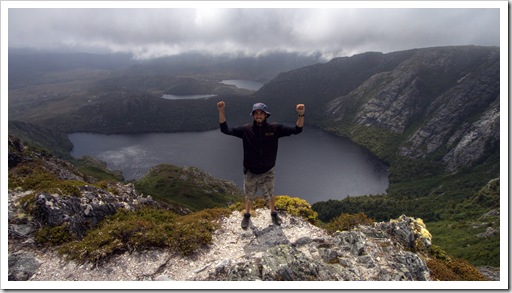 two places around the rim where one can see the entire lake: Marions Lookout and Crater Peak. The view from Crater Peak’s summit (S41°39.584’ E145°56.401’) was absolutely magic, the caldera-like Crater Lake in the foreground with Dove Lake and Lake Lilla in the distance. I started snapping shots furiously at each break in the clouds but the views only got better as I stood at the summit, the dual peaks of Cradle Mountain (Little Horn and Weindorfers Tower) eventually breaking through the clouds and completing the spectacular panorama. I’m so glad I bolted back up to the summit, it was well worth the roughly 600 vertical feet of climbing I had to redo!
This entry was posted on Sunday, January 31st, 2010 at 1:00 PM and is filed under Australia, Tasmania. You can follow any responses to this entry through the RSS 2.0 feed. Both comments and pings are currently closed.




Your posts always make me envious! Beautiful photos, as usual. Hope you guys are doing well and having a blast!
February 11th, 2010 at 12:21 AM
WOW!!!!!!!!! What a beautiful area. The fog and mist reminds me of Ketchikan, AK. Looks like the area was carved by glacial action??? You guys are on a trip of a lifetime.
February 14th, 2010 at 8:52 AM
Hey you guys why arnt you doing the 8 day walk? I’d love to do that someday. Anyway just as well you scampered back up again. You certainly were rewarded well. Great shots. Big Hi to Greg and Carol. Love Cathy
February 14th, 2010 at 11:13 AM
It was worth going back for the photos Sam…great view!!
February 22nd, 2010 at 3:56 PM
[…] Cradle Mountain the four of us headed back to the north coast of Tasmania, spending a night next to the beautiful […]
March 10th, 2010 at 12:11 PM
[…] a taste of Cradle Mountain-Lake Saint Clair National Park a couple of weeks back with our trip to Cradle Mountain and Crater Lake, the southern portion of the National Park around Lake Saint Clair gave us a dose of Tasmania’s […]
March 10th, 2010 at 12:11 PM
[…] kilometer hike we did enjoy some fantastic hiking through Alpine National Park. As with our Crater Lake hike in Tasmania recently, when we set off toward Mount Loch we were rugged up in beanies and […]
March 10th, 2010 at 2:14 PM