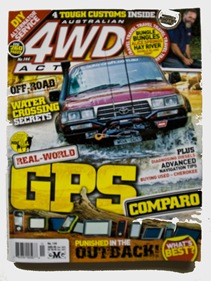
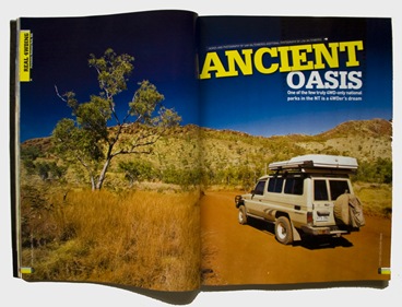
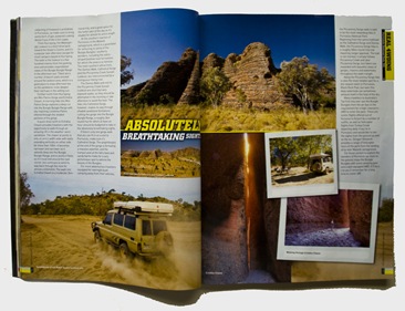
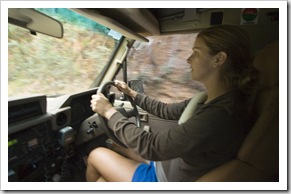
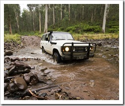
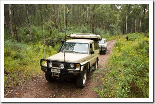
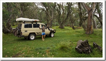
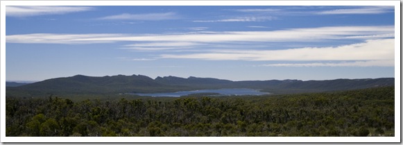
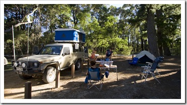
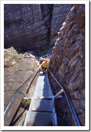
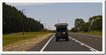
The second of our 4WD articles just hit the shelves in Australian 4WD Action issue 144. This one documents our trip to Purnululu National Park and the Bungle Bungle Range when we were up north last July. The next article comes out in a few weeks in issue 145, I think that one focuses on Litchfield National Park in the Northern Territory…
Planet View: S37°54.534’ E144°59.236’
Street View: S37°54.534’ E144°59.236’
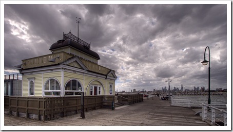
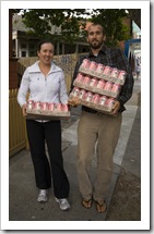
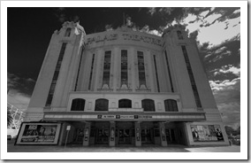
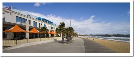
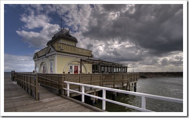
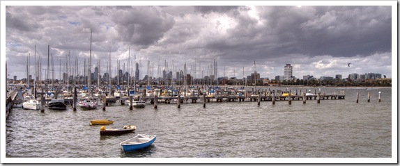
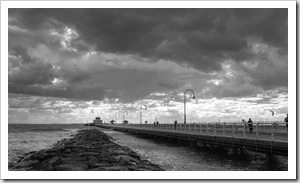
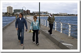
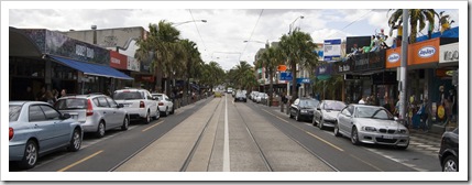
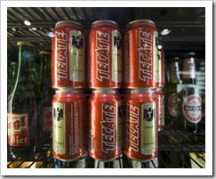
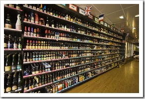
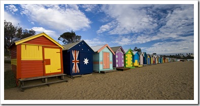
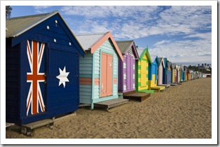
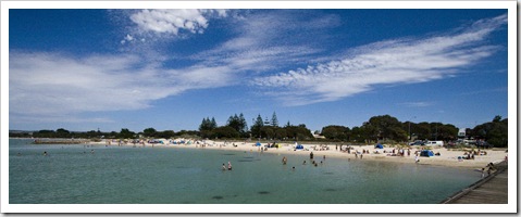
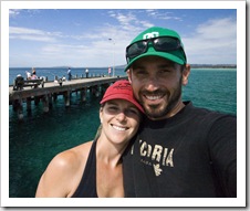
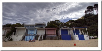
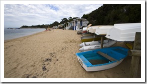
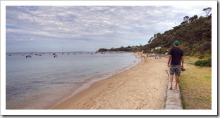
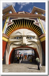 After a jam-packed few weeks with Gina and Chris we took a little time to lay low in Melbourne, joining Ben and Bronte in their new apartment on the beach at Brighton. We also spent a night in Torquay with Ben, Bronte, Greg, Jarrod and Stacey at Jarrod McCabe’s family’s beach house, fantastic weather and great company (but I unfortunately left my camera in Melbourne so no photos!). Ben and Bronte were brilliant hosts for our time in Melbourne, opening up their home to us and touring us around their locale whenever they had a chance. We made an outing with them to nearby Saint Kilda, taking a walk along the jetty for some great photos of the Saint Kilda Pier and also a trip down the bustling main Barkly Street where we lucked onto Tecate cartons for $31.99. Between Bronte and me we left the bottle shop with four cartons!
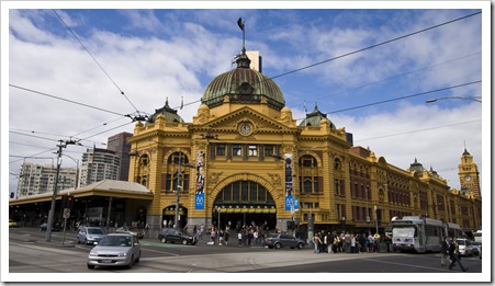
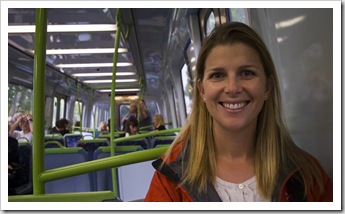
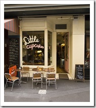
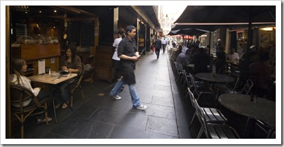
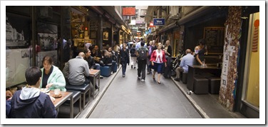
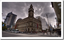
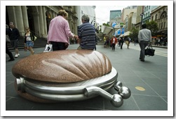
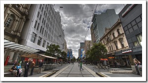
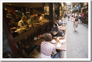
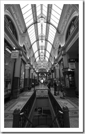 We spent a day exploring the city of Melbourne, taking the train in from Brighton to the central Flinders Station in the heart of the CBD. We’d organized to catch up with a mate of ours for lunch, Greg toured us around the ANZ trading floor (where he works) and then on to a swanky Italian restaurant in the South Bank precinct across the Yarra River from the city. At Bronte’s suggestion we toured some of the alleyways littered with quaint coffee shops and restaurants for which Melbourne is famous, stopping off for an afternoon coffee in Centre Place with Greg before he had to return for work. We also ventured north of the city to the Queen Victoria Markets, a huge expanse of stalls selling everything from Aussie souvenirs to fresh fruit and vegetables. We unfortunately arrived a little late in the afternoon to catch most of the vendors, interesting to see all the same…
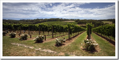
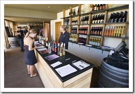
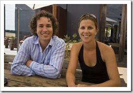 We took a day trip south along the Mornington Peninsula to explore some of the beautiful beaches and wineries for which the area is renowned. A friend of Lisa’s with whom she worked in California recently moved to the Mornington and is winemaker for Montalto Vineyard and Olive Grove, a beautiful piece of property with an acclaimed restaurant at
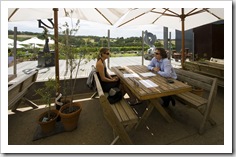
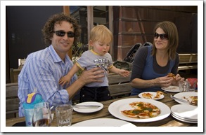
  the southern end of the peninsula near Flinders. Simon treated us to a fantastic lunch overlooking the vineyards, we also met his lovely wife Belinda and 16 month old twins Liam
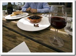
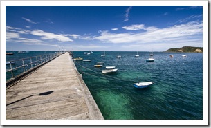
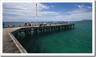
 and Oliver. After catching up over lunch with a bottle of Montalto Pinot Noir we explored nearby Flinders and stopped off to try our hand at some squid fishing off the Flinders jetty, unfortunately no calamari for us… The enclaves on the northern side of the Mornington Peninsula are escapes for the rich and famous of Melbourne, seaside homes in the prestigious town of Portsea often come with a multi-million dollar price tag. We ventured along the coast from Rye, through Sorrento and onto Portsea to take a look at the beautiful beaches and luxurious holiday retreats, unfortunately most of the larger estates weren’t visible from the outside but from the entrances we could tell that there were some serious mansions overlooking the ocean along the northern coast.
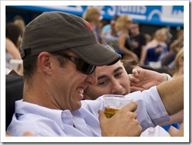
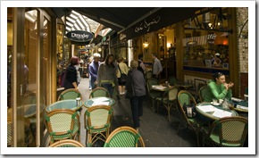
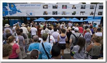
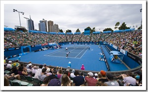
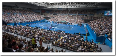
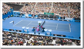
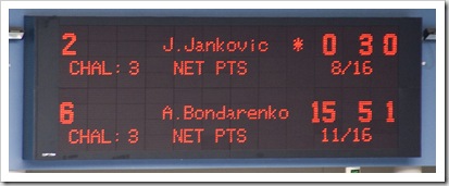
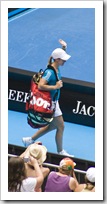
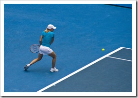
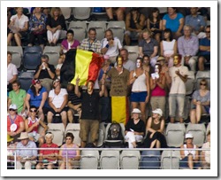
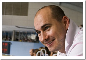
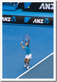
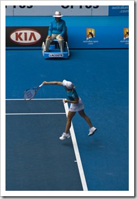
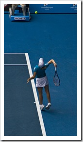
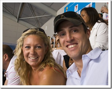
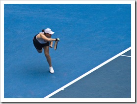
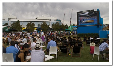
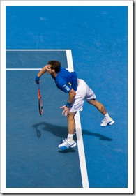
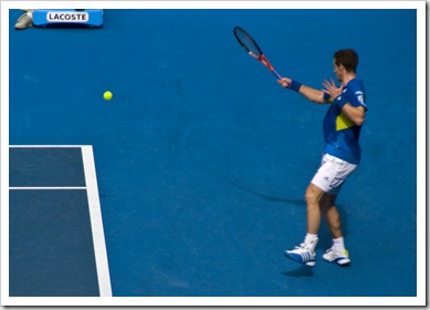
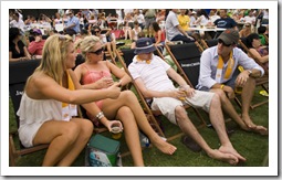
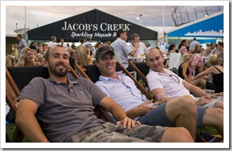
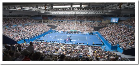 Hallsy organized tickets for himself, Jarrod, Stacey, Lisa and I to attend the Australian Open tennis while we were in Melbourne; Greg works at ANZ bank and they’re a major sponsor of the 2010 Grand Slam tournament. Justine Henin, Jelena Jankovic and Andy Murray were all playing in one of the two arenas at the tennis that day so we lined up to reserve seats for the day before venturing into Degraves Street for stellar breakfast at one of the hole-in-the-wall cafes. Even though our seats were towards the back of the rows in Hisense Arena we still had an amazing view of the games, the match between Justine Henin and Alisa Kleybanova definitely one for the ages, awesome to see the former world number one (Henin) in action in her first tournament back from retirement. Our passes allowed us to venture to any of the 10-or-more courts on which there were games for the day, pretty much everywhere except the main Rod Laver Arena, Lisa managed to weasel her way into the front row of the Margaret Court Arena to see the Williams sisters slaughter a couple of challengers in the doubles tournament. She didn’t want to take the camera because

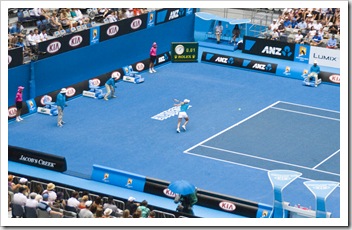
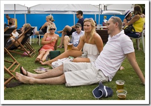
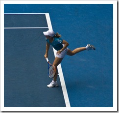 it’d be too heavy and is kicking herself a little now at the shots that could have been… Our seats in Hisense Arena were only good for the day session, so we spent the late afternoon and well into the evening watching games on the big screen in the Heineken Beer Garden with a few beers. A fantastic day, I’ve been wanting to see the Australian Open for many years so it’s great that we could organize our schedule to be in Melbourne for the event. And what would we do without Hallsy getting us all tickets through his work?! Thanks Greg!
Planet View: S37°11.263’ E146°21.649’
Street View: S37°11.263’ E146°21.649’
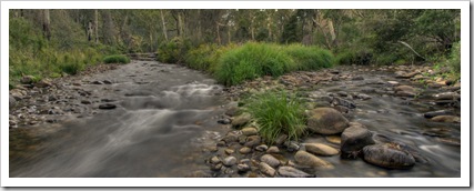 We lost one of our troop to the call of civilization when we dropped off Gina at the Melbourne Airport, she needed to be back in Adelaide to start work for the coming wine vintage at Chapel Hill. Chris and Bessie were yearning for more adventures though, so from our early morning airport drop we ventured inland a few hundred kilometers, bound for the Victorian Alps. We
  restocked in the country town of Seymour before heading to Mansfield, roughly 50 kilometers west of Mount Buller ski resort. It was a sweltering day with high winds, a little scary being in the foothills in that kind of weather with the reminder of last year’s Black
  Saturday bushfires clear in our memories. As a precautionary bushfire measure Alpine National Park was completely closed when we arrived in Mansfield, so we ventured just out of Mansfield to
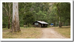
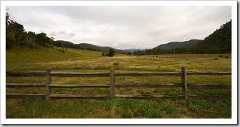
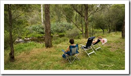
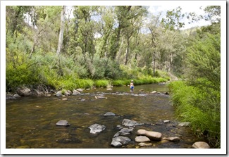
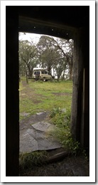
 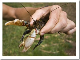 the beginning of our trek at Howqua Hills Historic Area. The Howqua Hills area is a stretch of brilliant campsites along the beautiful Howqua River, there’s also a number of restored alpine huts in the area that can be rented from the owners in Mansfield. We found an empty area at Noonans Flat and setup for the day, escaping the 40°C+ (104°F+) temperature by relaxing in the adjacent river and trying our hand at snagging some of the mountain trout (unfortunately the water was too warm for them to be biting). When Eucalypts get too hot they tend to drop limbs, we heard the crashing of large tree limbs a number of times during the afternoon, we made sure not to camp underneath any big trees!
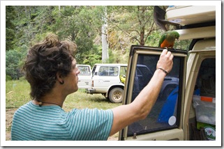
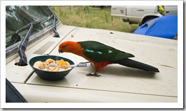
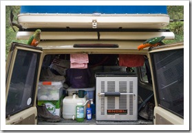
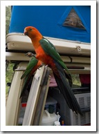
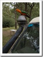
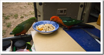
 Fortunately a cold front moved in during our first night in the mountains, so we could start our 4WD adventure the next day. Breakfast was another wildlife-filled event with a couple of beautiful Crimson Rosella Parrots venturing in at the sight of all the grains in our bowls. Chris again demonstrated his animal friendliness, chatting to the pair to get them comfortable and eventually being able to hand-feed them nuts whilst they perched on the back of the tank. When I was taking photos of the female parrot the male moved in on my cereal, both of them eventually taking a liking to Chris’s muesli. Lynn Westoby and Randy Luce, you would have been in heaven!
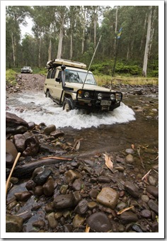
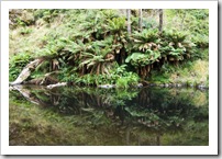
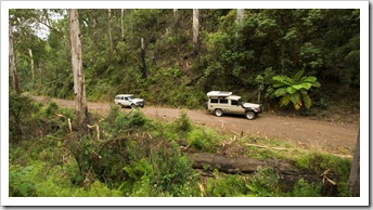
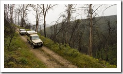
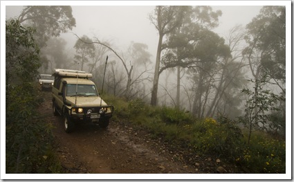
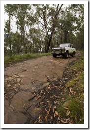
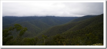
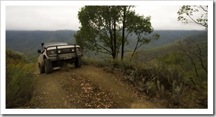
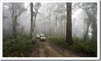
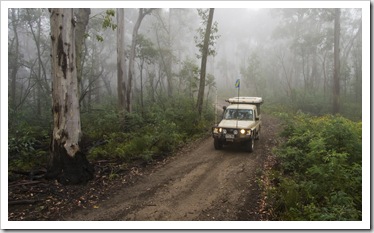
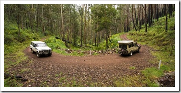 The Victorian High Country is known for some of Australia’s most picturesque yet challenging 4WD routes. I had a feeling we were in for some nail-biting driving when the 4WD guide we have in The Tank described our proposed route as difficult, suggesting to allow three days to complete the 190 kilometer (118 miles) trail across the Great Dividing Range. The track started out relatively easily, we wove our way through the mountains on Brocks Road on our way to Upper Jamieson Hut, taking in the beautiful fern gullies and towering Eucalypts along the way. The cold front
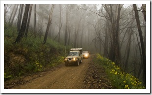
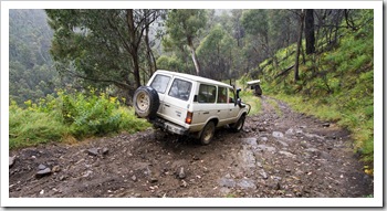
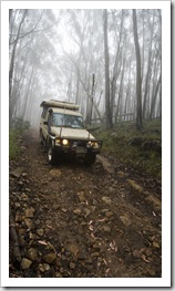
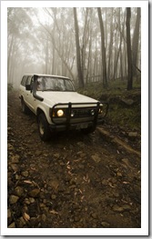
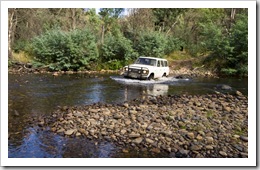
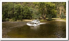
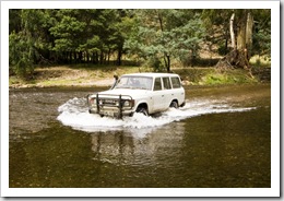
 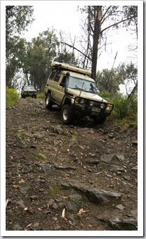 brought with it some light drizzle and fog, driving through the fog was at times a little tricky as our visibility was reduced to a number of meters. After passing Upper Jamieson Hut the trail progressed in difficulty, with a deep river crossing across the Jamieson River and then some gnarly downhill sections with cliffs on one side of the track and slippery, wet rocks making up the trail. The final climb to King Billy at the ridge of the Great Dividing Range was quite harrowing, The Tank again
  proved its superiority off road, crawling up the steeper sections of the track with relative ease. King Billy was the pinnacle of our trip across the alps, we topped out at 1562 meters (5125 feet) above sea level. I would have liked to grab a few more photos of the trail to King Billy but it was just too dangerous to stop the vehicles on the steep inclines to take any shots…
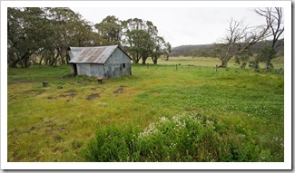
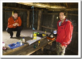
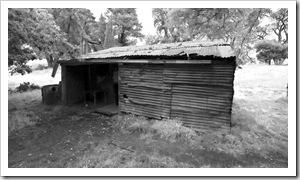
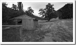
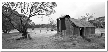
From Brocks Track to King Billy we had a bit of a mini-celebration at reaching the peak of the Great Dividing Range and continued on to the King Billy Track. More nail-biting driving along the King Billy Track, at a few points I think Lisa may have peed her pants just a little bit, and we were at the beautiful Howitt Plains for lunch. By the middle of the day it was raining quite heavily in the Alps so we found the Howitt Plains Hut, one of the many alpine huts dotted across the high country, and sought refuge for a hot cup of tea and a bite to eat.
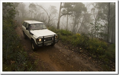 From Howitt Plains we continued east in the rain along the Zeka Spur Track, headed for Wonnongatta Station at the end of the day. On Zeka Spur the terrain turned from difficult to extreme, we’d often stop the vehicles and express our amazement that we’d made it through the technical section we’d just put behind us. None of us knew that vehicles were made to be able to tackle some of the terrain along Zeka Spur, super-steep downhills riddled with huge boulders, mini-crevasses and some very slippery mud in the wet weather. The difference in tyres and vehicle weights was quite evident on the steeper downhill sections of Zeka Spur, Bessie with Chris at the
 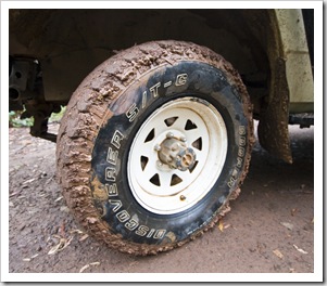 wheel slipping and sliding in the mud, thankful for ruts to keep the vehicle on the track while The Tank’s weight and deeper tyre tread allowed Lisa and I to dig in and be a lot less squirrely. Regardless, some very heart-pounding sections of the trail that we were thankful to put behind us, Lisa drove the whole way and made me proud, almost pulling the plug once or twice and handing the wheel over to me but sticking it out to tackle the most advanced 4WD track I’ve ever seen. We had a bit of fun getting Chris and Bessie unstuck on one of the steepest sections of track, I ran uphill to see where they were and found Bessie with her front differential lodged solidly on a boulder with the entire vehicle’s weight pressing down on the rock. Chris initially tried logs under the wheels to get enough traction to move Bessie backwards uphill, when that didn’t work I dug room under the tyres and propped them up on rocks, eventually giving Bessie’s two spinning wheels enough traction to lift her backwards and change course to avoid the problem boulder. Some hairy driving for sure, but man it was a lot of fun!
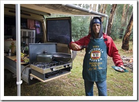
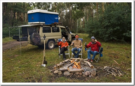 We finally made it down the Zeka Spur Track to the Wonnongatta Valley and Wonnongatta Track. The Wonnongatta is a beautiful high country valley with the Wonnongatta River flowing down its eastern edge, there are a bunch of picturesque bush campsites dotting the rivers edge for a few kilometers, we stopped off for the night at one of them, amazed that the cars and the three of us were all still in one piece
 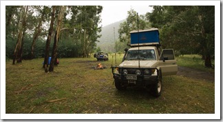 after eight hours of solid driving to travel roughly 90 kilometers (56 miles)! Our spot in the Wonnongatta Valley was one of my favorite campsites of the trip, the flowing water of the nearby river, beautiful Eucalypts and seclusion making it a really special spot. Another wildlife experience with a late night visit from a mother and baby possum while we sat by the fire, the possums in the surrounding trees also woke Lisa a few times during the night. We had a look at the isolated ruins of the nearby Wonnongatta Station in the morning before heading out, amazing to think that almost 100 years ago cattlemen inhabited the harsh high country valleys with stock.
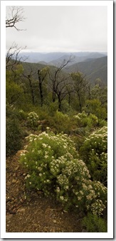
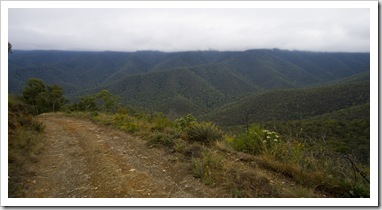
 From the Wonnongatta Valley we continued east through the Alps, crossing the Wonnongatta River four or five times through the Wonnongatta Valley on our way to Wombat Spur Track. If we thought we’d tackled some steepness the day before we were in for a shock along Wombat Spur. I think I would have struggled to walk up or down the Wombat Spur Track, Bessie and The Tank crawled up roughly four
  kilometers of the track in first gear low-range. The fact that we made it without any complications amazed all of us, we were very thankful it wasn’t raining for our third day in the high country given the sheer inclines we tackled along some of the tracks. The Wombat Spur incline is another spot I would have loved to snap some action shots but it was just way too dangerous to stop the vehicles anywhere along the way.
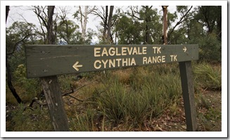
Once reaching the peak of Wombat Spur we cruised along the ridge for half an hour or so, taking in the picturesque fern-filled Eucalypt forests and weaving in and out of the high country fog hanging around after the previous day’s storm. The Wombat Spur Track veered onto the Cynthia Range Track midmorning and we began our decent toward Talbotville. The Cynthia Range Track was just as steep as the initial sections of Wombat Spur, The Tank and Bessie again impressing us all as they crawled down the rocky incline in first gear low-range. With each vehicle’s weight pressing down on the engine I’d hate to think of the pressure on some of the engine manifolds and cylinders.
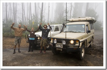
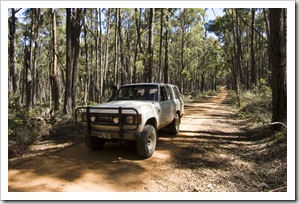
 We let out a breath of relief at the end of the steep Cynthia Range Track, figuring we were pretty much done with the hair-raising portions of our trek across the Alps. We crossed the Wonnongatta River a few more times, eventually passing through the ruins of the settlement of Talbotville and onto 2WD-capable dirt roads. We made a quick stop at the ruins of Grant, an old high country
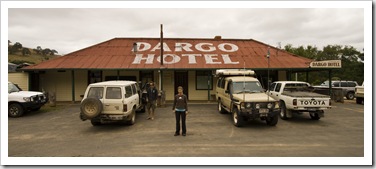
 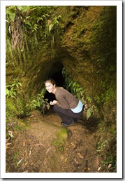 goldfield town, as well as taking a peek in one of the old mineshafts that brought the area such a massive influx of prospectors 150 years ago. A little eerie walking around the old sites in the alpine fog… We had a little celebration once reaching the bitumen near Dargo, giving our vehicles
 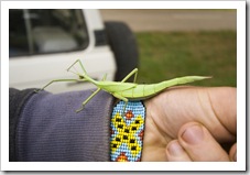 a massive hug and each other a few high-fives, before heading down the mountains to the quaint, sleepy settlement of Dargo.
What a journey, 190 kilometers in three days and undoubtedly the most intense off-road driving any of us has ever done. Nothing broke, no-one flipped and we all made it alive! Such a beautiful area of the country. Both Lisa and I were a bit sad to bid goodbye to Chris during our drive back toward Melbourne, a great traveling companion for us with his brilliant bush cooking and jovial personality. Fingers crossed he’s serious about meeting up with us again as we continue our tour of this great Land Down Under…
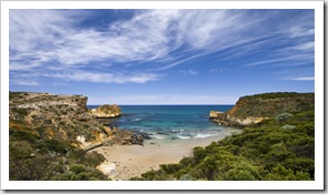
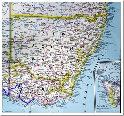 We couldn’t have asked for better weather for our week-or-so exploring the Great Ocean Road and Otway Ranges! From Grampians National Park we cut across some country back roads, through Dunkeld, and finally to Warrnambool to the beginning of Victoria’s famous Great Ocean Road. A quick stop at the Warrnambool information office for some maps of the area and then to the
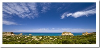
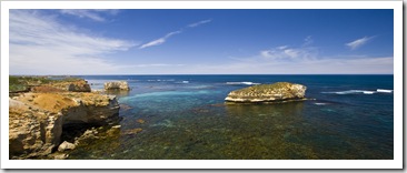
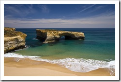
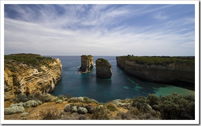
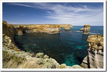
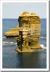
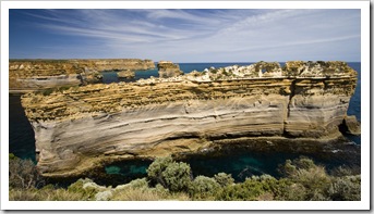
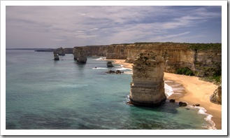
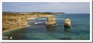
 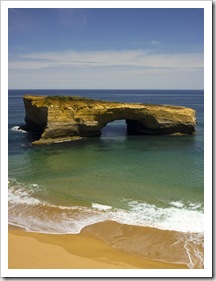 beautiful Childers Cove a short drive east along the coast to escape the midday heat. What a spot, crystal clear waters hemmed-in by striking cliffs, if we had stayed longer I would have been tempted to have a look for some of the abalone that I’m sure would inhabit the ledges at the edges of the cove. It was about lunch time but unfortunately we couldn’t eat as the flies at Childers were some of the worst we’ve experienced, so we continued and took in some of the famous rock formations along the Great Ocean Road. A lot of the more notable rock formations have been worn away from their original namesakes: London Bridge is now effectively London Arch after the portion of land joining the arch to the mainland broke away a few years ago, Island Archway is now just two vertical columns of rock, and the 12 Apostles are now just called The Apostles as there’s only seven-or-so left! Regardless, it’s a beautiful stretch of coastline and the weather during the day we drove it was fantastic, such brilliant blues with calm and clear water.
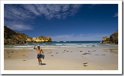
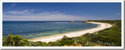
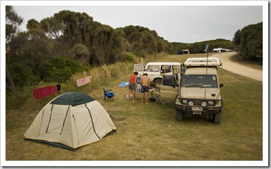 After lunch at Port Campbell’s bakery we continued east to Johanna Beach, a beautiful stretch of sand tucked between Cape Otway and Moonlight Head. The campground at Johanna is basically an extensive stretch of grass nestled in the sand dunes, a fantastic location within walking distance of the beach. We all took
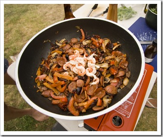
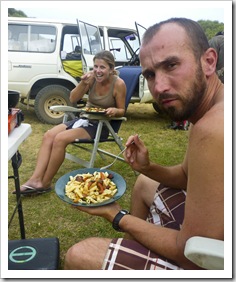
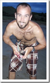
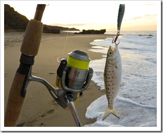
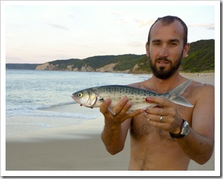
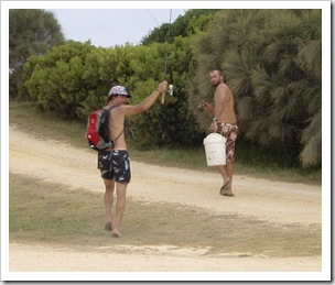
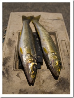
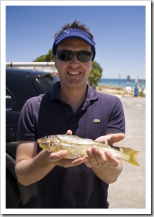
 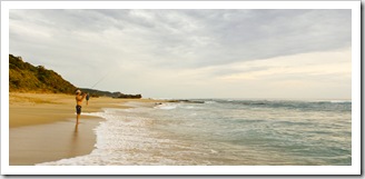 a dip in the crystal clear waters of Johanna Beach to escape the flies and after another of Chris’s scrumptious dinner concoctions (with the last of the yabbies we caught inland) returned to the beach to try to snag some of the Salmon Trout running the shallows. We caught a couple of keepers before the sun set, the aggressive little buggers were very greedy at times, taking lures almost as big as themselves! We went back for another session early in the morning, again attacked by flies as soon as we emerged from our tents, and were a little more successful with some bigger specimens for the dinner plate.
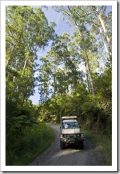
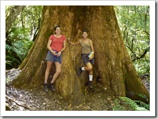
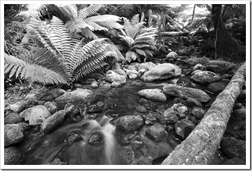
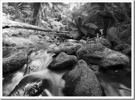
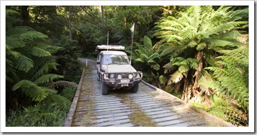
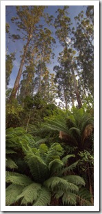
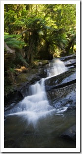
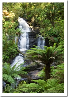
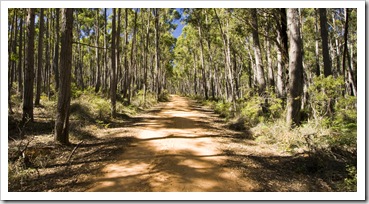
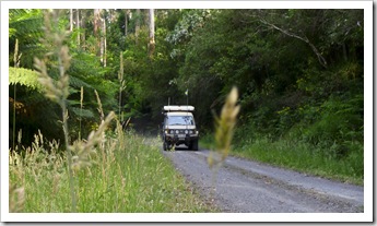 From Johanna we made our first foray into the beautiful Otway Ranges. The Otways stretch almost the entire length of the Great Ocean Road, the striking mountains are littered with rainforests, waterfalls and a plethora of hiking trails as well as some beautiful back roads drives. We took the back roads from Johanna past Melba Gully and on to Triplet Falls, definitely one of the most beautiful stretches of track we’re ever driven with towering Eucalypts,
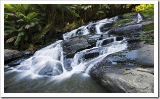
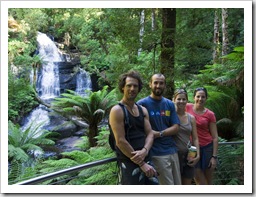
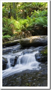
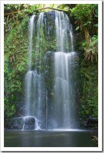
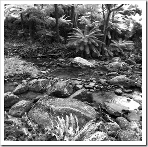
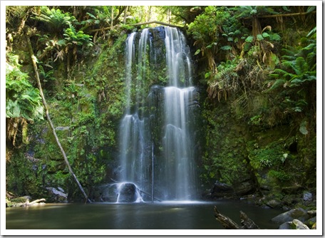
 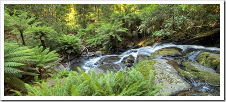 massive tree ferns and bubbling rainforest creeks along the way. The loop walk to Triplet Falls was a fantastic hike through the rainforest to the majestic string of waterfalls, cascade after cascade led up to the main Triplet Falls, an amazing spot… From Triplet falls we continued on the back roads through the rainforest to the beginning of the Otway Fly treetop walk, a similar adventure to the Giants Treetop Walk in Western Australia’s Great Southern. After seeing that it was $22 each to walk along the suspended boardwalks we decided against it and kept moving for another hike to Beauchamp Falls. The walk into Beauchamp Falls made its way down steeply to the stream feeding the falls and then crisscrossed the water for a few kilometers until reaching the cascades. Chris and I psyched each other up enough to take a dip in the icy pool below the falls, it was actually cold to the point of being painful, neither of us lasted long but it sure was exhilarating!
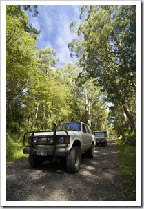
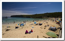
 It was back to the coast for lunch after our morning in the Otways, we made it to the nearby coastal enclave of Apollo Bay and sniffed out a bakery before all taking a dip at the stunning Apollo Bay beach. The Great Ocean Road is usually synonymous with rough seas but we were extremely lucky to have mirror-like water almost every time we ventured into the ocean for a swim. We all had a good laugh soaking up the rays and watching a group of Indian fellas play soccer on the beach, there were some hard hits and painful-sounding slaps as some of the heavier blokes hit the sand!
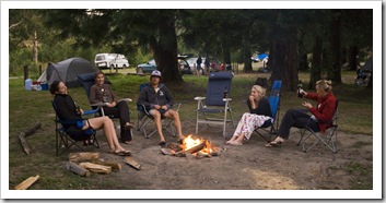
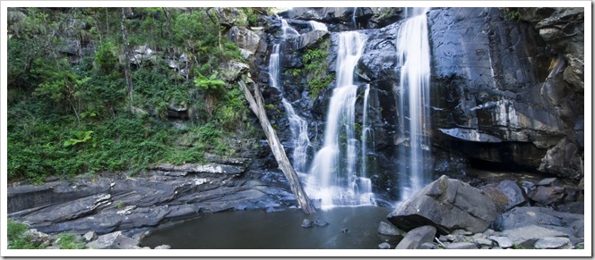
From Apollo Bay we set our sights on Lake Elizabeth high in the Otways near the mountain town of Forrest. Another beautiful backcountry drive through the forest took us up to Lake Elizabeth but 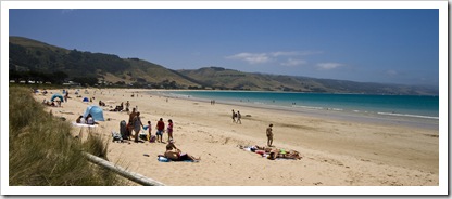 we discovered on arrival that it was a walk-in campsite only, not so good when we sleep on top of our car and have our kitchen setup on the back of The Tank! So we trudged on late in the afternoon, west through the Otways to nearby Stevenson Falls (S38°33.873′ E143°39.305′). Along the way we passed through Forrest, we have to remember to return to Forrest one day to test out the myriad of mountain biking trails beginning in the tiny town. The campsite at Stevenson Falls was a great spot, our initial site was next to a pack of rowdy teenagers so we moved shortly after arrival and found a couple of friendly girls from Brisbane willing to share their large site. Turned out to be beneficial for both parties as we made them a nice campfire where we sat late into the evening sharing traveling yarns and drinking a few too many beers.
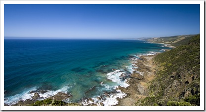
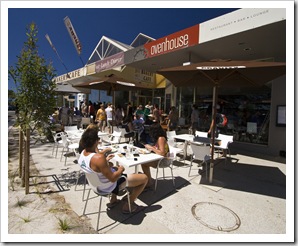
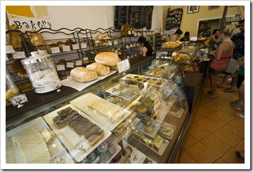
 Back to the coast and toward the ritzy seaside settlement of Lorne from Stevenson Falls, we passed by Cape Patton along the way and took in the beautiful views westward back along the route we’d driven. Lorne is within a few hours of Melbourne so is quite the escape for rich Melbournites, the esplanade lined with million dollar holiday homes and streets with expensive European cars. The town still retains a lot of its charm, however, and its beach is similarly as beautiful as nearby Apollo Bay’s. We spent a little while exploring the shops and cafes along Lorne’s esplanade, during which time Bessie was dealt a parking ticket by the local fuzz, stopping off at yet another bakery for lunch and then hitting the beach.
 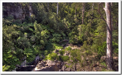 The Otways around Lorne are jam-packed with hiking trails to an extensive number of falls, we drove a short way into the
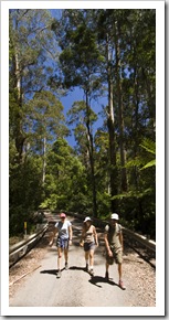 mountains past the old Allenvale Mill site and tackled the roughly eight kilometer loop to Phantom Falls and through The Canyon. It was amazing how much drier the mountains around Lorne were compared to nearby Apollo Bay: the latter had ravines covered with ferns and rainforest while those around Lorne were more typical of the Eucalypt forests we’ve seen elsewhere in Australia. All the falls along our loop walk were dry but for a trickle, but it was still a great hike and the view from the top of Phantom Falls was quite breathtaking.
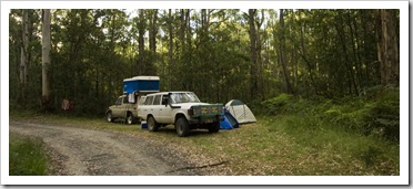
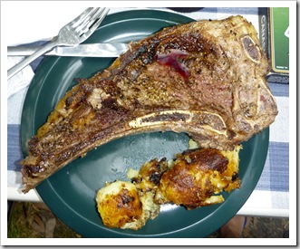
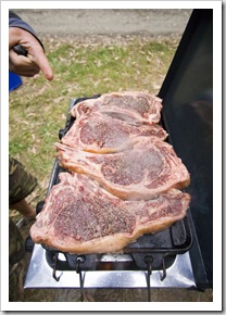
 We continued up into the mountains from Phantom Falls to a campsite at Big Hill for our last night in the Otways, cooking up the last of the steaks from Big Al in Mount Gambier for a true blue meat and potatoes dinner. An early morning drive along the last stretch of the Great Ocean Road took us to Torquay, arguably Australia’s most famous surfing town and home to Bells Beach and the world’s first wetsuit. We checked into the last site available at the Torquay Caravan Park, at $60 for the four of us for a small patch of grass we
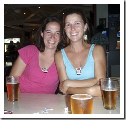
 started to realize how awesome the free campsites through the Otways had been! It was 44°C (111°F) in Torquay on the day we were there so we pretty much spent the whole day on the beach, which was absolutely jam packed. I think we fully lathered ourselves in sunscreen three or four times during the day, the sun sure packed some punch when it poked through between the scattered clouds. We whiled away the late afternoon and evening at the Torquay Hotel Motel, putting away a few too many jugs (pitchers) of beer with our first evening meal at a restaurant since leaving Adelaide. It was a miserable night trying to sleep for our last night with Gina, Melbourne broke its record for the hottest night ever, shattering the previous all-time high set back in 1902! We all woke at 5:00AM to get Gina to Melbourne airport for her 8:05AM flight, all feeling a little groggy after the beer the night before and not too much sleep in the overnight heat.
What an awesome couple of weeks we’ve had through Nora Creina, Mount Gambier, the Grampians, the Great Ocean Road and the Otway Ranges. So much fun to have a couple of close friends along for the ride, Chris and Gina were so easy to travel with and added a lot of laughs to our evening conversations. Hopefully they’ll join us again somewhere down the road!
Planet View: S37°06.480’ E142°25.401’
Street View: S37°06.480’ E142°25.401’
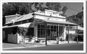 On our way into the Grampians we stopped off for a night at the tiny country town of Harrow (S37°10.278’ E141°35.341’) in Victoria’s southwest. Nestled alongside the Glenelg
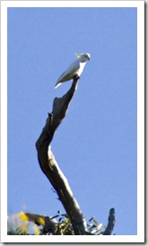
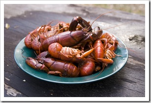
 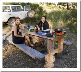 River, Harrow isn’t much more than a go-kart track, a pub and general store, the latter two both in beautifully maintained heritage buildings. We found a brilliant campsite a short walk from the general store, where we had the beautiful banks of the Glenelg River on our doorstep and a nice swimming hole and rope swing to boot. We spent the late afternoon buzzing the Aerobie my mum gave us for Christmas between the Eucalypts, and also found a great spot for yabbies in a deep pool of the river. It was our first night sleeping back in The Tank since leaving Adelaide and what a beautiful spot, Sulphur-Crested Cockatoos dotted the huge gums around the campsite and such fantastic weather.
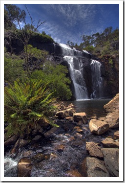
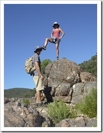
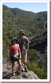
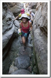
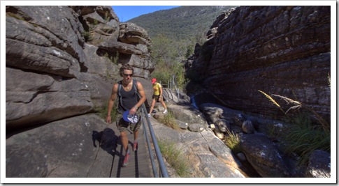
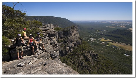
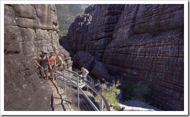
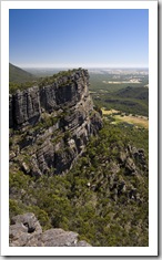
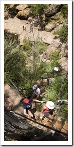 We left Harrow early and restocked in Horsham before heading into Grampians National Park. The mountains of the Grampians pop out of the surrounding plains like jagged teeth, beautiful forested peaks with an array of lakes and hiking trails throughout. Chris and Lisa had both visited the Grampians before so we didn’t spend too much time in the area, but we did complete a fantastic 10 kilometer hike to the famous Pinnacles near the town of Halls Gap. We
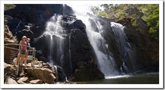
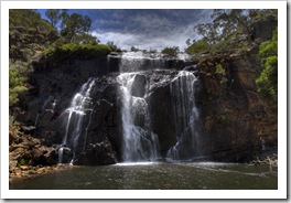
  spent our first night in the National Park at the site of an old wood mill near Lake Wartook, venturing to MacKenzie Falls and The Balconies during the afternoon before setting up for the night. Our spot at Smith Mill was another good location for yabbies, as well as for viewing some of the local wildlife. It was a bit of a treat to see a number of wallabies and kangaroos grazing around our campsite early in the morning. We parked Bessie and The Tank in the town of Halls
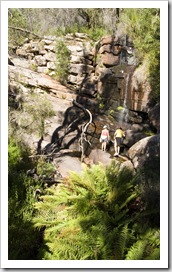
  Gap and headed out early on the 10 kilometer Pinnacles loop hike, the temperature was forecast to top 40°C (104°F) that day so we wanted to beat the heat. The hike took us past
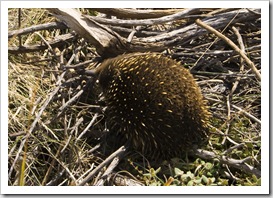
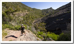
 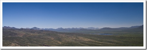 Venus Baths, Splitters Falls and through the striking walls of Grand Canyon on the way to The Pinnacles. The view from the top was amazing, awesome to see the town of Halls Gap a couple of thousand feet below, we would have been able to spot The Tank and Bessie with a good pair of binoculars. The trail down took us along the edge of the Wonderland Range with continued great views of Lake Bellfield and Halls Gap, we even came across a good-sized Echidna on the way, something I’ve only ever seen once or twice before in the wild. A well-earned lunch at the Halls Gap Bakery (another addition to my list) was our reward for the hike, we ran into Cathie and Damian Hamilton with 18 month old Rory in tow on their trip along the Great Ocean Road and back through central Victoria. It sure is a small world…
 After our lunch at Halls Gap and a bit of a chat with the Hamiltons we took a scenic drive through the central and southern Grampians. Jimmy Creek and Wannon Crossing campsites didn’t take our fancy too much, although they’d both be beautiful spots during winter with a little more water around, so we ventured over the Serra Range into the southwestern portion of Grampians National Park. Tucked in the foothills of the Victoria Range we came across Strachans
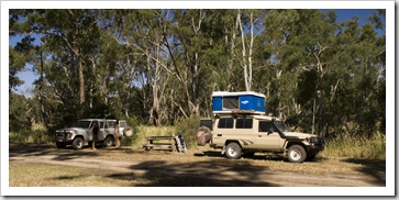
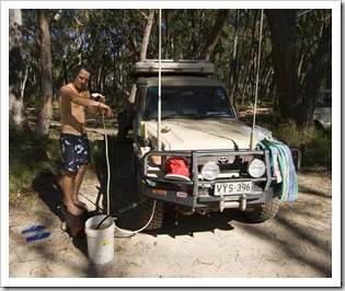
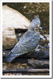
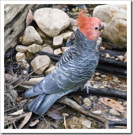
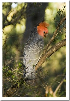
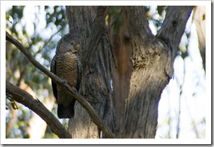
 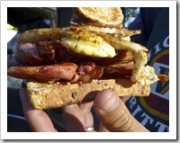 campground, a beautiful campsite shaded by dense Eucalypts next to a spring-fed creek. We had the place to ourselves for the night, each enjoying a hot shower courtesy of The Tank and a close encounter with some rare Gang Gang Cockatoos. A pair of Gang Gangs flew into the gums above our campsite and after Chris chatted with them for a few minutes (Chris is a zookeeper so knows how to do these things…) they became comfortable with our presence and allowed us to venture amazingly close for some photos. The female swooped down for a drink out of the creek less than a meter from where I was standing, very cool to see such rare birds up so close in the wild. We finished our tour of the Grampians with a solid breakfast of bacon and egg sandwiches, venturing back to the coast and the beginning of the Great Ocean Road before the temperature reached the mid forties (110°F+) that day in central Victoria.
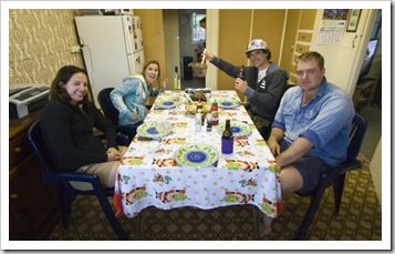
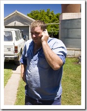 From Nora Creina it was a short drive inland toward the Victorian border to the town of Mount Gambier. We stayed the night at Al Earl’s farm south of Mount Gambier near Port MacDonnell, Lisa and I were at Saint Marks with Al all those years ago when we were studying together at the University of Adelaide. Al’s a livestock broker and also runs the family farm, where he has a few head of cattle and a handful of sheep. In addition to the more official livestock and farming responsibilities he also runs Big Al’s Cave Tours for wayward travelers like us, he toured the four of us around Mount Gambier’s surrounds for the afternoon, giving us a great locals-only insight into area. Mount Gambier is part of South Australia’s Limestone Coast, a stretch of limestone-rich coastline stretching from
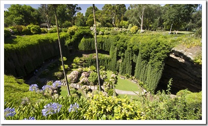
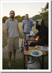
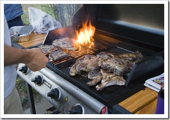
 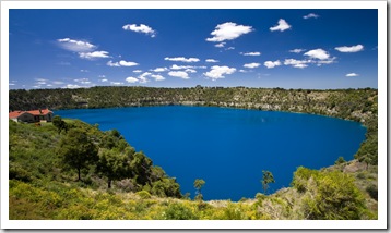 Kingston to the Victorian Border. The limestone around Mount Gambier has resulted in a dizzying array of sinkholes, caves and underground aquifers through the area, Big Al’s Cave Tours took us to some of the major ones about town. The Blue Lake (pictured here) is the main water supply for Mount Gambier, at certain times of the day the water colour is the brilliant blue I managed to capture in this shot. Al had no shortage of farm-raised beef and lamb in his deep freezer, he treated us to a fantastic BBQ after the completion of our day on Big Al’s Cave Tours, no shortage of red meat on the dinner table that night!
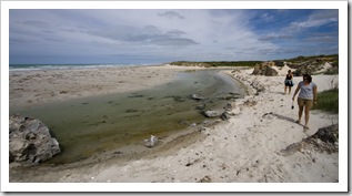
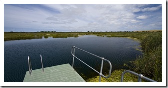
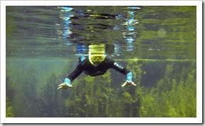
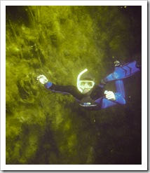
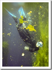
 The filtration of water through the limestone soil over thousands of years results in some underwater caves around Mount Gambier with amazing water clarity. The most famous caves are at Piccaninnie Ponds, a small
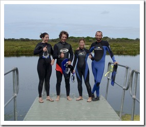
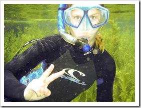
  National Park situated in the middle of 1500 acres of Al’s family’s farmland. To maintain the water clarity only four snorkelers are allowed to swim in the ponds at one time, we booked into an 11:00AM timeslot and geared up for a dip in the 14°C (57°F) crystal clear pools. The clarity was pretty amazing, at times it reaches 40 meters (130 feet) but wasn’t quite that clear when we were snorkeling. The rock formations and array of freshwater plants was fantastic, a good chance for Gina to test out her newly-purchased waterproof camera. In the water with us were four SCUBA divers, it was a little eerie to watch them on the bottom 10 meters below us as they eventually disappeared into the underground cave system into which the ponds open!
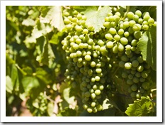
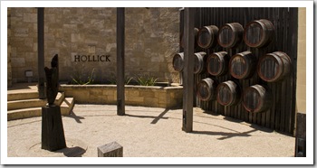
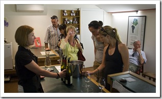
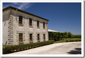
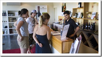
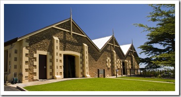
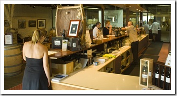
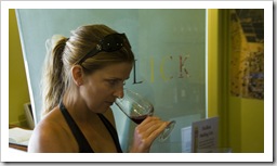 From Piccaninnie Ponds we bid Big Al adieu and headed inland to the Coonawarra wine region, roughly 50 kilometers north of Mount Gambier. Famous for the same limestone soil responsible for the aquifers and caves around Mount Gambier, Lisa and Gina enjoyed exploring a few of the estates as we passed through the region. We stopped off at Hollick, Bowen Estate, Zema Estate and the well-known Wynns Coonawarra Estate. Some beautiful vineyards and tasting rooms as well as a couple of additions to The Tank’s wine cellar (though they didn’t last long!)…
Planet View: S37°19.717’ E139°50.945’
Street View: S37°19.717’ E139°50.945’
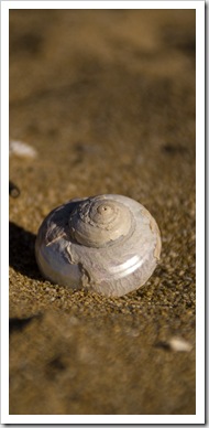
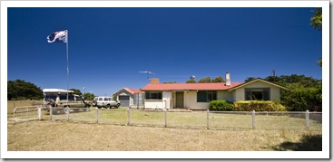
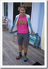
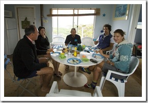
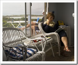
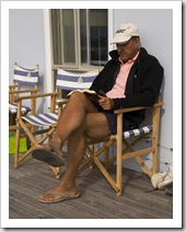
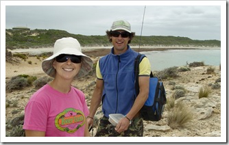
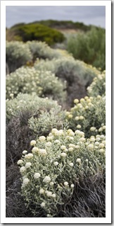 After a couple of busy weeks in Adelaide for Christmas, on January 2 we headed off again south along the coast toward Robe and the seaside settlement of Nora Creina. The Tank had company in Bessie the HJ60 Toyota LandCruiser, and Lisa and I were lucky to have a couple of additions to our troop with Chris (a mate of mine from when I was growing up in Adelaide) and Gina (a friend and ex-colleague of Lisa’s from California) joining us on our travels for a couple of weeks. My auntie and uncle, Bob and Cathy, with whom we stayed a few months ago in Darwin, recently purchased a beach shack in
 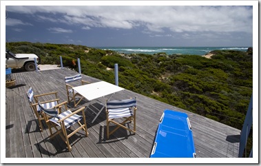 the tiny seaside settlement of Nora Creina, which is roughly 25 kilometers south from Robe. Nora Creina is an eclectic collection of
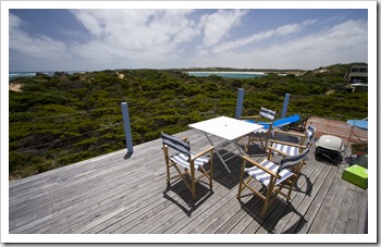
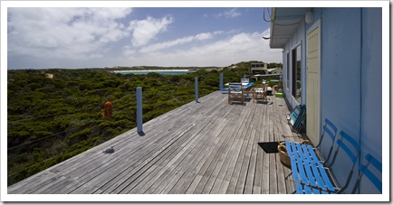
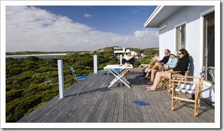
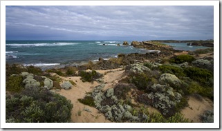
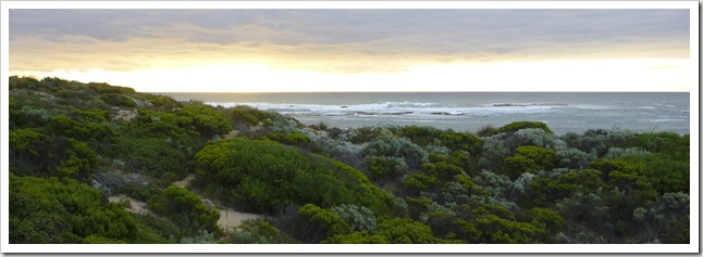
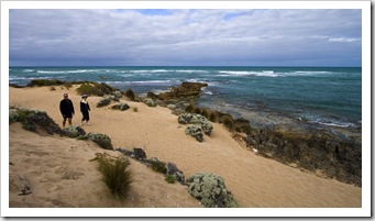
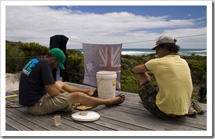
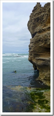
 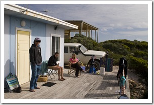 roughly 50 beach shacks nestled on a rocky outcrop between Stinky Beach (lots of seaweed = not such a nice smell at low tide) and the beautiful Nora Creina Bay. The bay is roughly a kilometer of beautiful beach and protected water, a great spot for swimming albeit a little cold even in the middle of summer. Bob and Cathy’s shack has got to be at one of the best locations in the entire community, with sweeping views of Nora Creina Bay and the rocky
 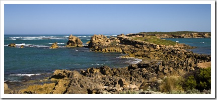 outcroppings dropping into the Southern Ocean. Really a majestic
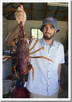
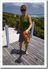
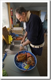
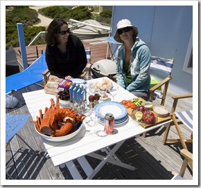
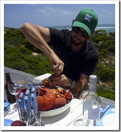
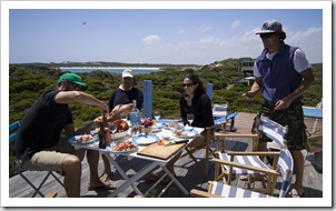
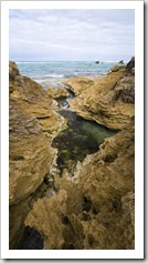
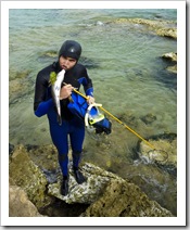
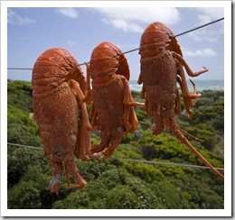
 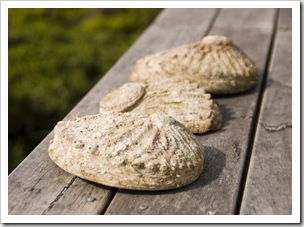 spot… The rocks around Nora Creina abound with all types of fish, crayfish (Southern Rock Lobster) and a plethora of abalone. Bob had a few fresh crayfish waiting for us for lunch on arrival, including one monster specimen that tipped the scales at a little over 2.5 kilograms (5.5 pounds), a real treat given that fresh crayfish runs roughly $85 per kilogram! I managed to spear a juvenile Morwong and snag a few nice-sized abalone for our dinner one night, it was a few days of fantastic company, great food, a few too many beers and some great new card games from Gina. Hopefully when we’re retired one day we’re lucky enough to have somewhere like Nora Creina to get away from it all, a really special spot!
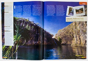
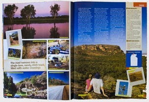
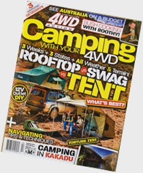 I’ve been working with a few of the folks at Express Publications over the last few months, they publish an array of 4WD-centric magazines and have been kind enough to publish a few articles cataloguing our trip around Australia. The first of the articles from our travels through the Top End will be on the shelves in a few weeks, an advance copy was waiting for us at my Dad’s when we arrived into Adelaide a few days ago. Awesome to see it in the flesh, there’s a few months lag between when I submit the articles and when they hit the shelves. Here’s a few photos from our first article on Kakadu…
