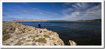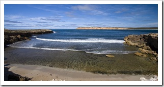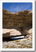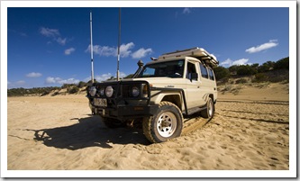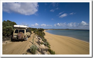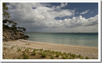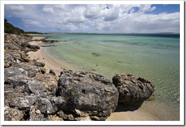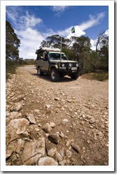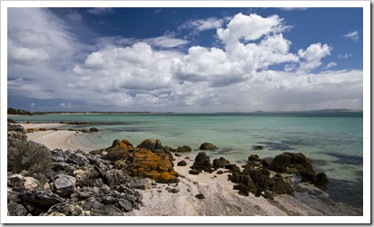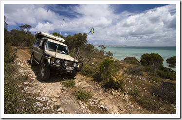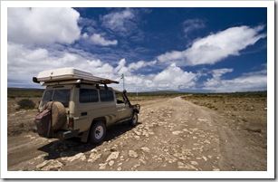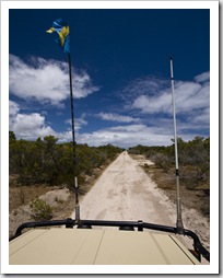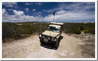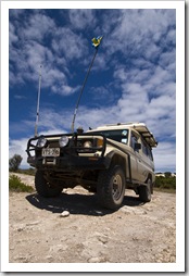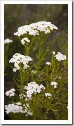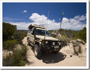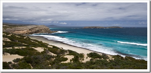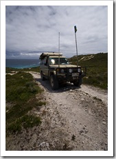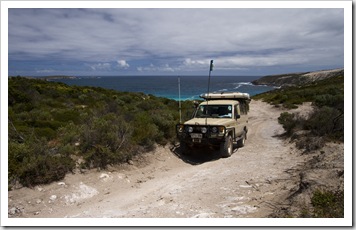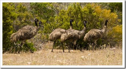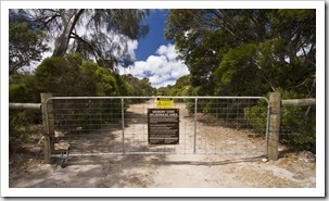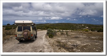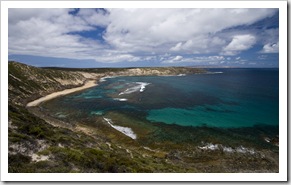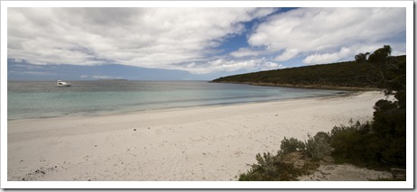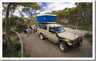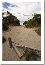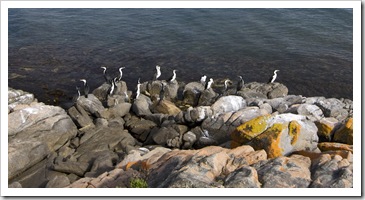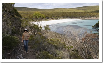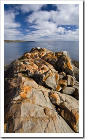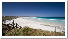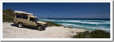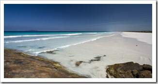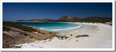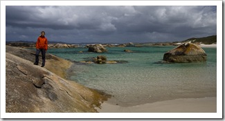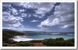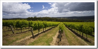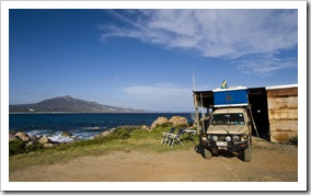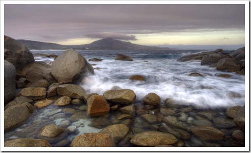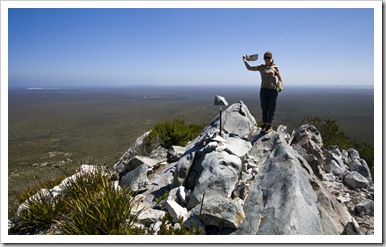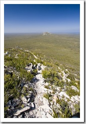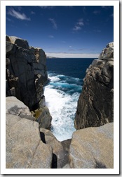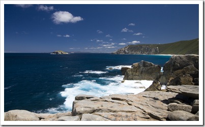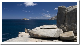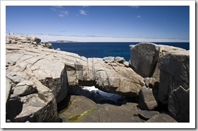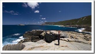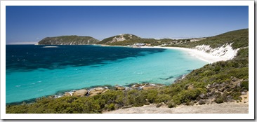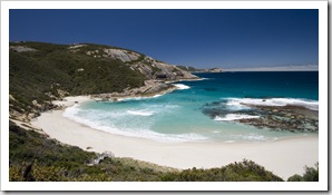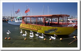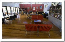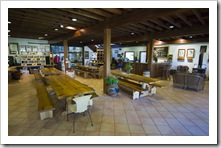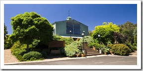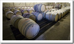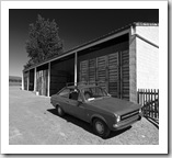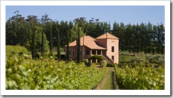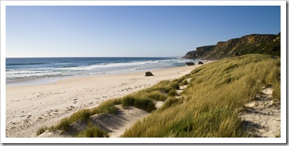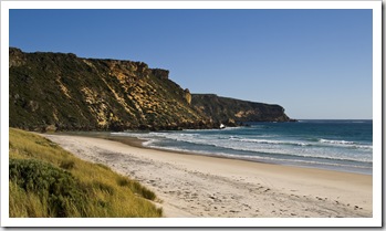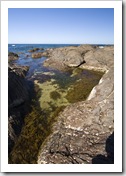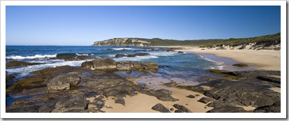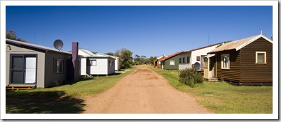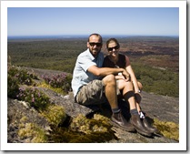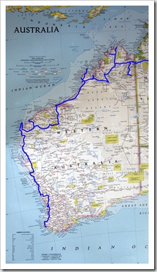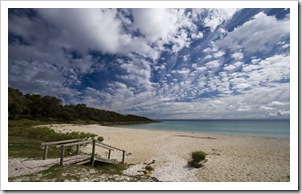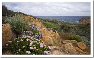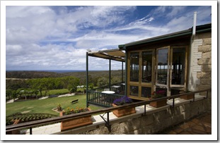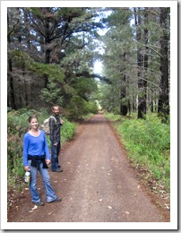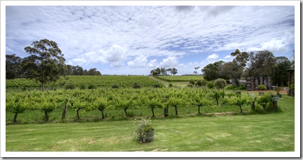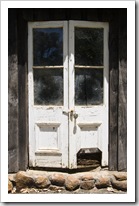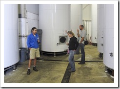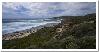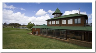
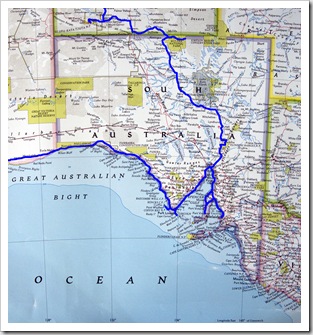
The Eyre and Yorke Peninsulas

Australia, South Australia, Wines 5 Comments »

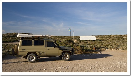
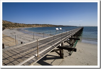
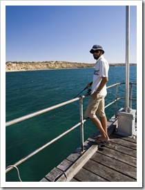
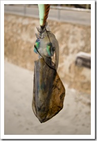
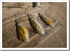
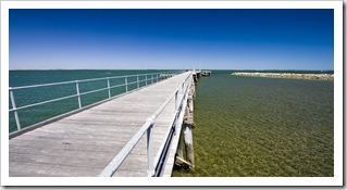
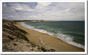
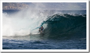
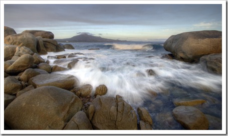
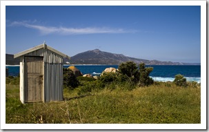
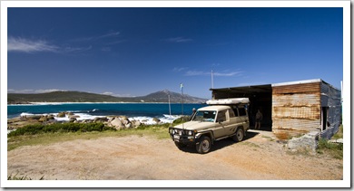
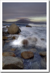
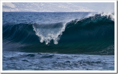
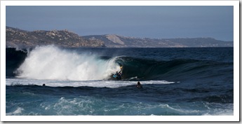
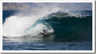
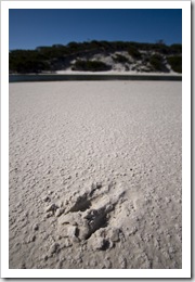
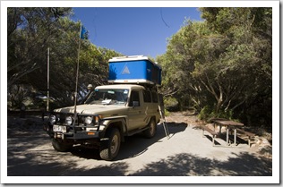
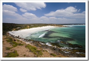
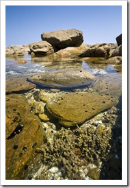
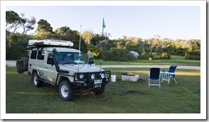
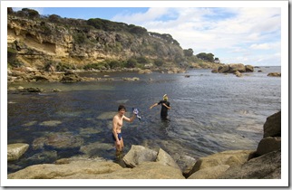
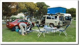
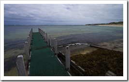
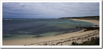
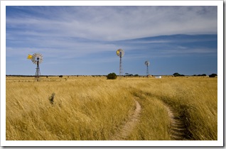
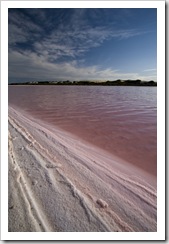
The famous windmills of PenongSouth Australia I forgot to mention one of the highlights of the Nullarbor Plain as we came across a few days ago: the longest golf course in the world.  Stretched across a couple of thousand kilometers, the Nullarbor Golf Links has a hole at each town and a few scenic sights along the plain.  It’d be a long 18 holes!  After finishing our trek across the Nullarbor the first town in South Australia is Penong, a small farming settlement on the far west coast of the Eyre Peninsula.  We shot down to Cape LeHunte, home of the famous Cactus Beach, to camp for the night.  The waves were pretty tepid when we stopped for the night but there were still a few surfers about.  We could tell that The famous surf breaks of Castles and Caves from the dunes at Cactus Beachwith a bit of swell it would be quite a spot to catch a wave at one of the three famous breaks: Cactus, Caves or Castles.  Definitely an interesting bathroom experience for us at the Cactus campsite: the toilets were basically garbage bins with a heavy duty plastic bag inside and a toilet seat on top, together with a bag of lime and shovel to be used afterwards!  The jetty at Cape LeHunte was a nice protected spot for a bit of fishing, I snagged a small squid while Lisa explored the surrounding point and tide pools.
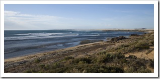
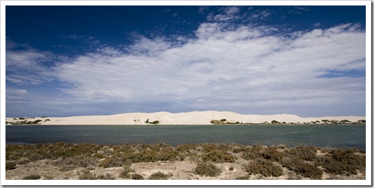
A pink salt lake on the track to Cactus BeachOur campsite in the dunes at Cactus BeachThe jetty and shark-proof net at Cape LeHunte Sam fishing from the jetty at Cape LeHunteFresh calamari at Cape LeHunteThe striking white sand dunes near Cactus Beach

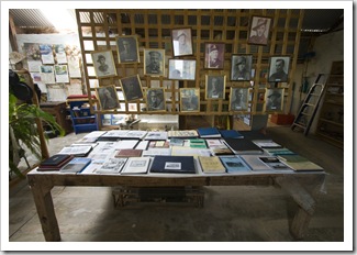
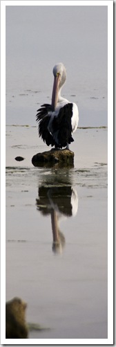
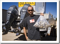
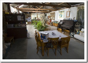
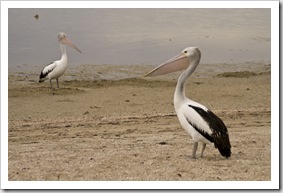
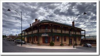
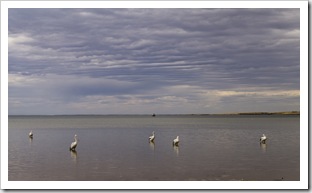
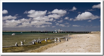
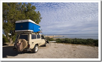
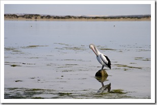
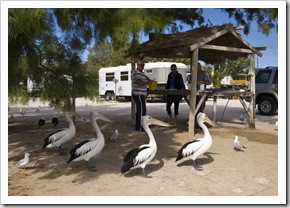
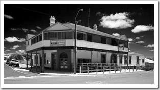
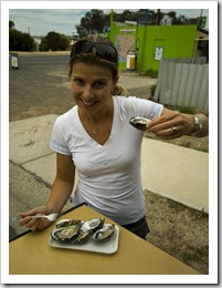
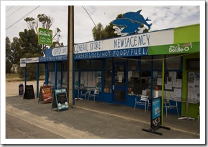
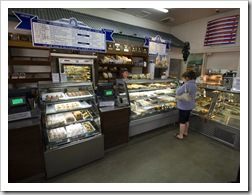
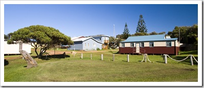
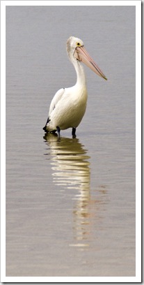
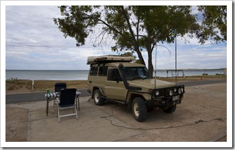
Pelicans on the beach in Streaky BayChecking email in CedunaThe Woolshed Museum in PenongOn our way out of Penong we stopped off at the town’s Woolshed Museum, a collection of farming and household artifacts from yesterday but definitely not a patch on Margaret Brown’s collection on Yorke Peninsula (more on that later…).  We continued along the Great Australian Bight through Ceduna, where we quickly checked our email and stopped off at the visitor centre before spending the night at the Streaky Bay Caravan Park.  We both enjoyed Streaky Bay (S32°47.785′ E134°11.848′) a lot, a great atmosphere and a another fantastic country pub Our spot next to the beach in Streaky Baywhere we spent the afternoon with a few beers overlooking the bay.  It was great to see that there are still a few old-world pubs in South Australia where one can get a pint for $5.00 and a good counter meal for under $15.00.  Lisa sampled some of the local King George Whiting and I tucked into a schnitzel, something that the Western Australians are still figuring out how to cook properly…  The bar staff at the Streaky Bay Pub were quite impressed with seeing a Californian waltzing around in some local R.M. Williams garb and it was great to be able to catch the tail end of the West Indies/Australia test match from Adelaide.  If you’re reading this and ever find yourself in Streaky Bay, the caravan park kiosk on the foreshore is the cheapest place you’ll find fresh oysters anywhere on Eyre Peninsula: $5.00 a dozen.  Elliotts Bakery is similarly worth a stop, fantastic baked goods and coffees, another addition to my list of Australia’s Best Bakeries.
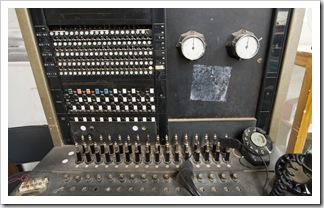
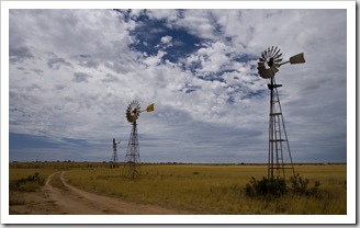
The Woolshed Museum in PenongOld telephone exchange at the Woolshed Museum in PenongThe famous windmills of Penong Pelicans on the beach in Streaky BayThe Streaky Bay HotelPelicans on the beach in Streaky Bay

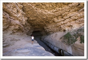
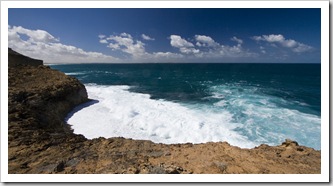
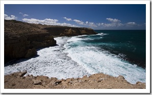
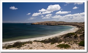
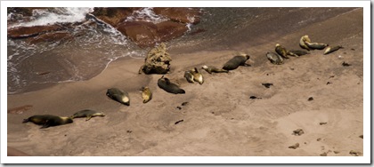
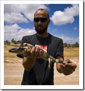
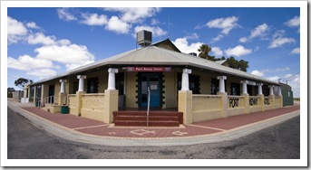
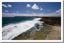
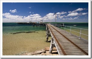
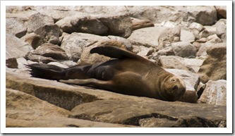
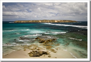
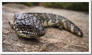
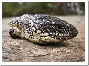
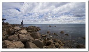
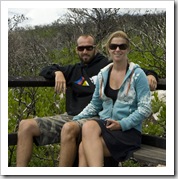
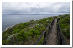
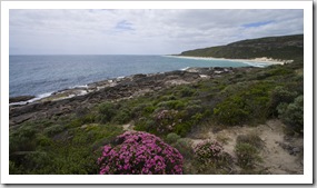
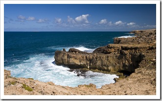
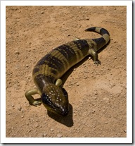
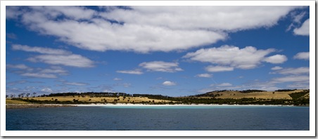
The Blowholes near Streaky BayA Blue Tongued Skink near Point LabattPelicans in Venus BayWe spent a morning exploring the striking coastline southwest of Streaky Bay, some brilliant vistas and seriously powerful seas.  The loop around Cape Bauer was well worth the detour, as was the drive we took around the scenic Westall Way.  South of the settlements of Sceale Bay and Fisherman’s Paradise is Point Labatt, home to Australia’s largest New Zealand Fur Seal colony.  The Australian Sea-Lions and New Zealand Fur Seals were strewn all over the granite rocks at the base of the cliffs of Point Labatt, quite The seal colony at Point Labattcontent to spend the day leisurely sun-baking between meals.  From Point Labatt we drove around the nearby bay and south to the sleepy seaside settlement of Baird Bay, the tourist pamphlet made Baird Bay sound like a coastal utopia but we left town within five minutes of arriving after seeing the swampy marshes that passed as beaches and the fact that the town’s campsite is a parking lot on the side of the highway!  Next was Port Kenny a little further Lisa making her way along the South Head Walking Trail in Venus Baydown the Eyre, where the bar staff laughed at me when I asked if there was a campsite in town…   We ended up The Venus Bay jettystumbling onto the sleepy holiday town of Venus Bay (S33°13.974′ E134°40.466′), nestled on the protected side of the small peninsula Pelicans in Venus BayLisa in The Woolshed at Talia Cavesforming the opening to Venus Bay itself.  There were no campsites at Venus Bay but the caravan park is in a brilliant location on the secluded waters of the Venus Bay inlet, within walking distance of the town’s jetty and the South Head Walking Trail.  I spent the afternoon fishing off the jetty and pulled in some handsome-sized squid, we ate more fresh calamari that night than I think either of us had ever consumed in a single sitting!  A morning walk along the South Head Walking Trail took us longer than expected after we spent the better part of half an hour watching pods of dolphins frolic in the crystal clear water in the mouth of Venus Bay’s inlet.  Some of them came within 20 or 30 meters of where we were standing on the cliffs, so close that we could hear them exhaling when they surfaced.  Great to see them up so close in the wild.  From Venus Bay we stopped off at Talia Caves, taking a walk into the cavernous Woolshed cave, as well as a quick peek at the town of Elliston (add one more to Australia’s Best Bakeries) on our way to Coffin Bay at the southern tip of the Eyre Peninsula.
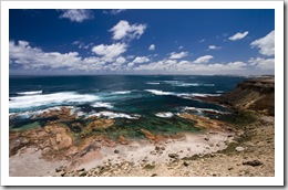
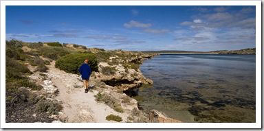
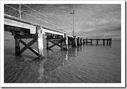
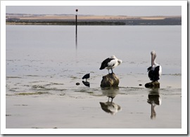
Coastline at Whistling Rocks near Streaky BayCape BauerAlong one of the scenic drives near Streaky Bay The seal colony at Point LabattSam with a Blue Tongued Skink near Point LabattThe Port Kenny Hotel Beautiful coastline at Venus Bay with Venus Bay Conservation Park in the distanceCoastline at Venus BayThe sleepy holiday town of Venus Bay Pelicans in front of the Venus Bay jettyThe Venus Bay jettyLots of calamari for dinner from the Venus Bay jetty Our spot on the shores of Venus BayPelicans in Venus BayPelicans in Venus Bay Lisa on the South Head Walking Trail in Venus BayThe South Head Walking Trail in Venus Bay with Venus Bay Conservation Park in the distanceTalia Caves south of Venus BayTalia Caves south of Venus Bay Talia Caves south of Venus BayThe walk down to The Woolshed at Talia CavesView from The Woolshed at Talia Caves

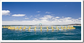
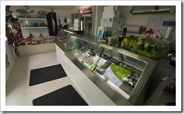
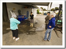
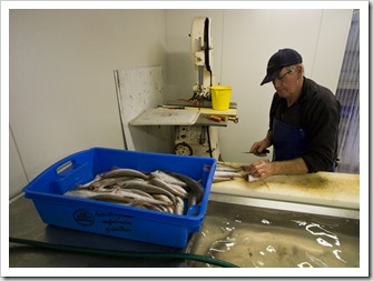
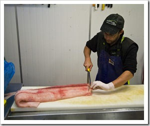
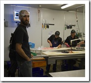
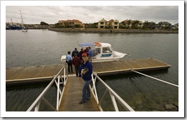
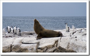
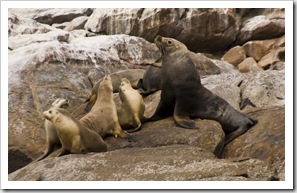
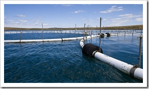
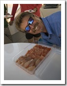
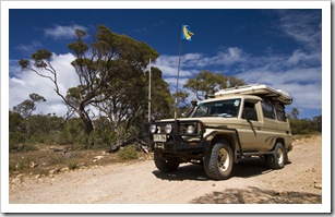
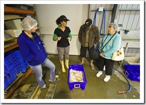
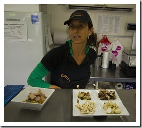
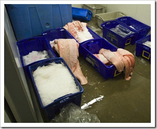
Southern Eyre Our tour of one of the seafood processors in Port LincolnThe tip of the Eyre Peninsula boasts a couple of brilliant National Parks, the majority of Coffin Bay and Lincoln National Parks are 4WD-only affairs so we enjoyed putting The Tank through its paces with a few days in each.  Port Lincoln (S34°43.722′ E135°53.055′) was a great spot, the first time we’d seen a hint of traffic for quite some time.  Port Lincoln could have been South Australia’s capital had the settlers been able to locate acceptable water supplies, there are some very interesting tourist attractions revolving around the town’s seafood industry.  We took a tour of one of the local seafood processors, where we saw King George Whiting being filleted at a rate of about one fish every 10 Our tour of one of the seafood processors in Port Lincolnseconds and massive steaks of shark being sliced up for the state’s fish and chip shops.  Our tour culminated with a sampling of some smoked local fare: calamari, oysters, Australian Sea-Lions in Boston BayKingfish, mussels and scallops.  So good!  We also took a tour cruise around Boston Harbour with Triple Bay Charters, the company has approval from some of the local Kingfish farmers to visit the farm nets, awesome to see 30,000 sashimi-grade swimmers up so close.  Our cruise also stopped-in on an Australian Sea-Lion colony inhabiting one of the islands near Cape Donington, the pups were very playful, their parents and grandparents always keeping a watchful eye and trying to make sure they didn’t come too close to our boat.  Our cruise and very knowledgeable captain gave us an idea of the immense size of the fishing industry in Port Lincoln.  The town has the most millionaires per capita of any town in Australia!  The big money is in prawns, Bluefin Tuna and Kingfish. 
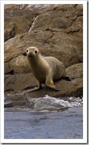
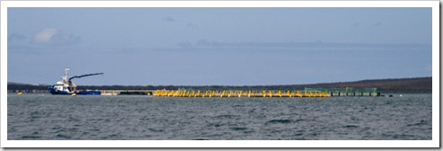
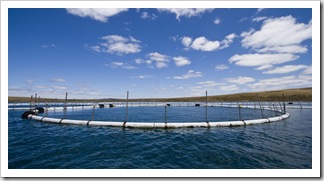
Prawning is a heavily regulated fishery, the fisherman net 58 days a year at times scheduled by the state fisheries department.  We learned that it’s nigh on impossible to buy a fresh prawn in South Australia as all of them are snap frozen on the boats when caught.  The Bluefin Tuna harvest is also very heavily regulated by an international body which determines how much Bluefin can be caught per year by each country targeting the sought-after fish.  This year the Port Lincoln fishermen have been allotted 4000 tonnes of the lucrative fish.  There are only a few commercial Bluefin licenses in South Australia, controlled by individuals who setup the industry decades ago.  No more licenses will be created so each is worth quite a bit of money: some license Tuna farm nets in Boston BayKingfish farmsholders lease out their licenses for between $8MM and $12MM per year, and when one does change hands it has recently been for more than $180MM per license!  While the tuna fishermen in Port Lincoln call it ‘farming’, the industry is more like ‘fattening’: the Bluefin are caught in nets in the Spencer Gulf and Great Australian Bight, Lisa sampling some Bluefin Tuna sashimitransported back to Port Lincoln and then fed Pilchards until they gain The prawn fleet dormant in Port Lincolnapproximately 40% of their body weight before being harvested.  When initially caught the schools of fish are spotted from the air, the pilots of the spotting planes are able to determine the approximate weight of the school and individual fish size by sight alone.  The fish are captured in giant nets and towed back to Port Lincoln at a rate of 0.5 knots (roughly one kilometer per hour), the journey can sometimes take two months!  It might sound a ludicrously slow speed, but there are Department of Fisheries observers on each boat and any dead or escaped fish go against each boat’s quota.  At north of $1500 per fish, with some of the choicest cuts selling for more than $2000 per kilogram once A New Zealand Fur Seal in Boston Bayon the plate, it’s a little easier to understand the slow speed!  Japanese chefs will fly to Port Lincoln to select their fish and Japanese observers will Fishing boats in Port Lincolnwatch each fish being killed to ensure that the appropriate method is followed.  When the fish are killed there are divers in the tuna nets with the fish, tuna can’t see behind them so the divers will wait for a fish to swim past and then quickly yank it backwards through the water by its tail.  The backwards motion flushes the fish’s gills with water and stuns it for a few seconds, during which time the divers will insert their hands into the gills and clench the fish’s heart.  The constriction of blood immobilizes the powerful tuna for a few more seconds, enough time to the divers to move the fish through the water and onto the kill platform.  Boston IslandOnce out of the water the fish is killed almost instantly with a metal stake through the brain, the brain removed via a corkscrew-like implement, a metal wire inserted down the backbone to remove the nervous system (which ensures the meat isn’t tainted with enzymes), and the guts removed via machine through the anus.  The dead fish is then dipped in distilled water and immediately snap frozen to –65°C (-85°F), a temperature at which it can be kept for six years and still be served as sashimi.  Each fish has an air filled bag inserted into its gut cavity and transported back to Japan in an individual cradle to preserve its shape.  The time taken from the diver grabbing the fish to the distilled water dip is roughly 90 seconds, any longer than 3.5 minutes and the Japanese will not buy the fish, optimal time is 40 seconds.  An amazing industry, we thoroughly enjoyed the wealth of information our tour skipper had to offer…
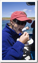
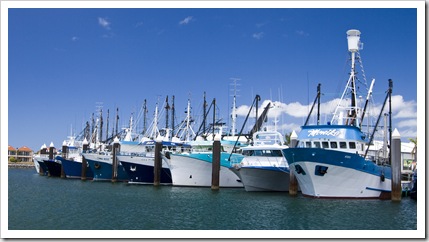
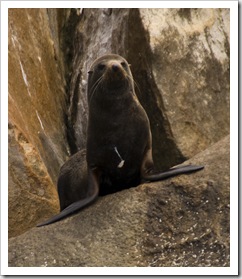
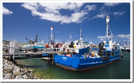
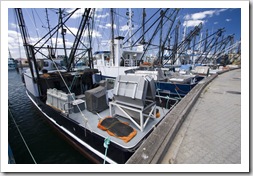
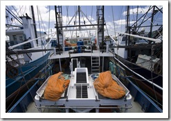
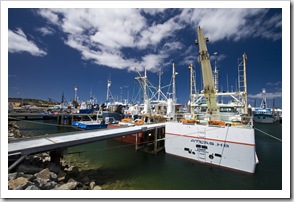
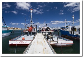
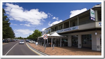
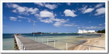
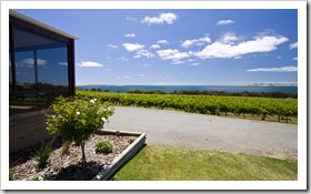
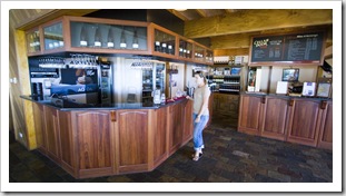
Our tour of one of the seafood processors in Port LincolnOur tour of one of the seafood processors in Port LincolnOur tour of one of the seafood processors in Port LincolnOur tour of one of the seafood processors in Port Lincoln Lots of shark fillets at one of the seafood processors in Port LincolnFilleting King George WhitingSlicing up a shark fillet for fish and chip shops Our tour of one of the seafood processors in Port LincolnLisa walking to the boat for a tour of some of the Port Lincoln fish farmsTending the Kingfish farms Australian Sea-Lions in Boston BayAustralian Sea-Lions in Boston BayAustralian Sea-Lions in Boston Bay Tuna farm nets in Boston BayOur boat captain with fresh Bluefin Tuna and Kingfish sashimiThe prawn fleet dormant in Port LincolnThe prawn fleet dormant in Port Lincoln Fishing boats in Port LincolnFishing boats in Port LincolnThe Pier Hotel on Port Lincoln's main drag Port Lincoln's jetty and massive grain silosBoston Bay WinesBoston Bay Wines

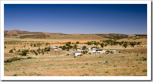
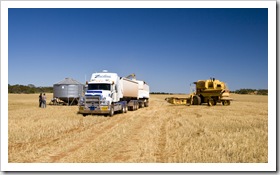
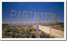
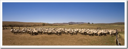
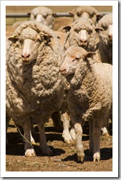
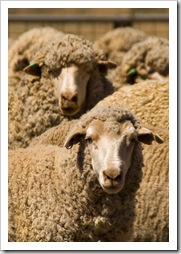
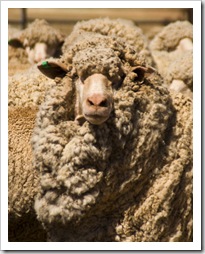
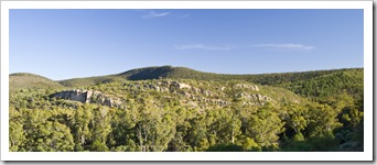
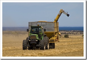
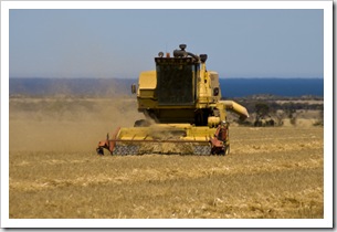
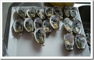
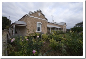
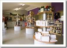
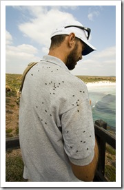
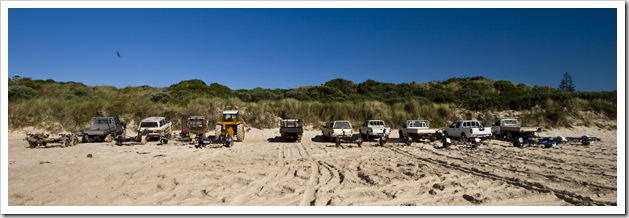
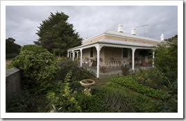
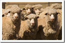
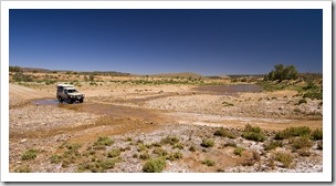
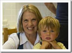
Ian and Margaret Brown's home on Yorke PeninsulaWooly sheep ready for shearing on Partacoona StationOysters for $5.00 a dozen in CowellWe stopped in at one of the local vintners, Boston Bay Wines, on our way out of town as we began our journey up the east coast of the Eyre.  Along the way we ducked into Arno Bay and spent a night in another of the peninsula’s oyster-producing centers at Cowell (S33°41.124′ E136°55.593′).  It was a fun Sunday The river in front of the Partacoona Station homestead (it was 12 feet deep in January 2007!)The Partacoona Station homesteadafternoon at Cowell’s two pubs, some of the bartenders were a real hoot, a good dose of country Aussie conversation!  On our way out of Cowell we grabbed a few dozen export-quality oysters, hard to resist at $5.50 per dozen.  We visited a family acquaintance’s sheep station in the southern Flinders Ranges as we rounded Spencer Gulf, a beautiful property with rivers, springs and some fantastic Margaret and Max Brownranges running through it.  We ran into a few of the 14,000 sheep penned up for a shearing the next day.  Our last night in the tent for a while was in Mount Remarkable National Park in the Flinders Ranges, a beautiful campsite on the banks of Mambray Creek but we could have done without the worst swarms of mosquitoes we’ve experienced since leaving Adelaide in June.  A few days with the Browns at their farm (S34°41.041′ E137°33.672′) near Minlaton on the Yorke Peninsula was a good chance to see the Brown kids and catch up with the rest of the family, Edward had just finished reaping when we arrived so we were lucky to be able to spend a rare bit of time with him whilst on the farm.  Lunch with Jess Schulz and a few of her friends from high school at the Schulz farm near Maitland and it was back to Adelaide for a couple of weeks over Christmas.  Whew, that’s half of the country done!
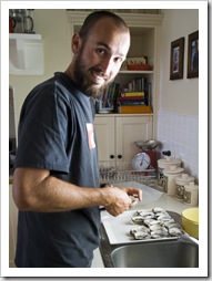
The Port Neill HotelCowell's main streetCowell's main street Oceanside kiosk in CowellThe Cowell jettyFinishing the harvest on the east coast of the Eyre PeninsulaBarley ready to be harvested Full circle in Stirling NorthPartacoona Station in the Flinders RangesSheep in for shearing on Partacoona Station The shearing shed on Partacoona StationThe shearing shed on Partacoona StationLisa on Partacoona Station Wooly sheep ready for shearing on Partacoona StationWooly sheep ready for shearing on Partacoona StationWooly sheep ready for shearing on Partacoona StationA visitor to our campsite at Mount RemarkableSam shucking oysters on the Brown's farm Mount Remarkable National ParkSpending the night in Mount Remarkable National ParkMount Remarkable National Park Finishing up the oats on the Brown's farm on Yorke PeninsulaFinishing up the oats on the Brown's farm on Yorke PeninsulaOysters at the Browns' farm Max, Eleanor and Rebecca BrownEleanor makes sure Ian's ticker is still going strongNavan Homestead on Yorke Peninsula (Ed and Rebecca Brown's house)

Share

Coffin Bay and Lincoln National Parks

Australia, South Australia 2 Comments »

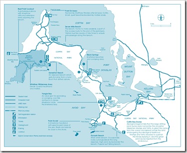
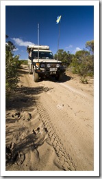
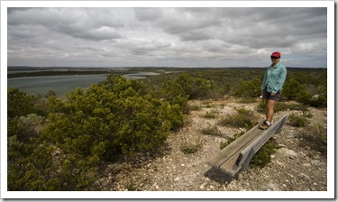
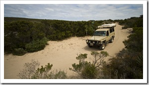
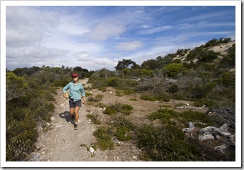
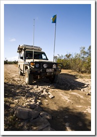
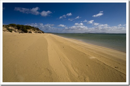
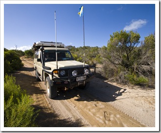
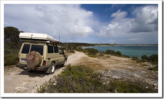
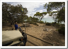
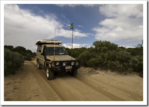
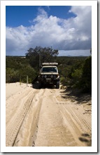
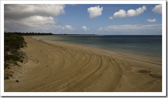
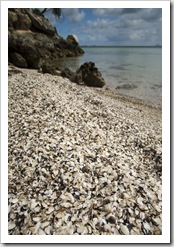
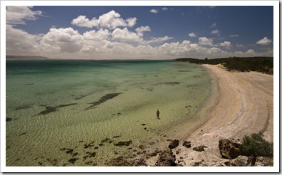
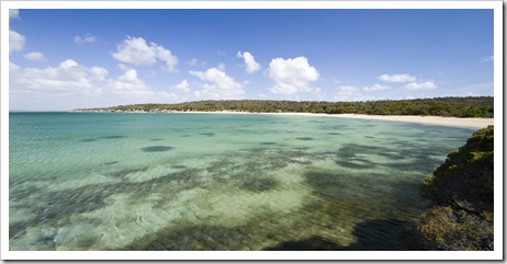
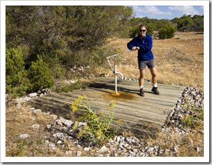
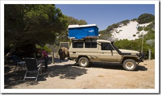
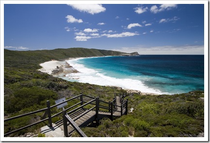
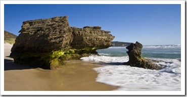
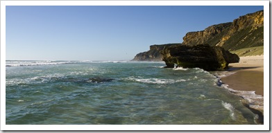
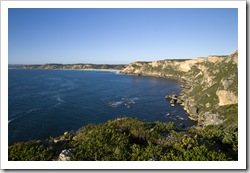
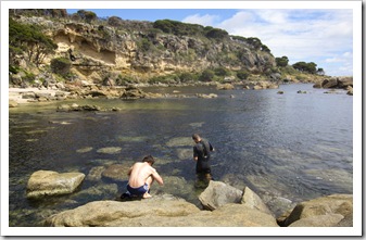
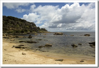
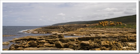
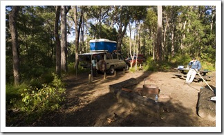
Lisa sampling some Coffin Bay oystersCoffin Bay National Park The track to Black SpringsAt the southern tip of the Eyre Peninsula are Coffin Bay and Lincoln National Parks: lengthy stretches of striking limestone cliffs and beautiful secluded beaches.  We spent a few days exploring Coffin Bay National Park after stopping off in Coffin Bay itself to sample Australia’s most famous oysters.  We were a little disappointed with the limited number of retail outlets for oysters, only a couple around town, the industry is really setup for export and distribution to the large cities.  Nevertheless, the Coffin Bay General Store sells shucked oysters so we made Sam taking a dip below our campsite at Black Springssure to grab a few before heading into the National Park.  There’s a portion of Coffin Bay National Park that’s accessible Lisa looking over Yangie Bayvia paved road, the area around Yangie Bay and Point Avoid, but the majority of the National Park is 4WD-only.  And not just rocky dirt roads, there are some pretty deep, boggy sand tracks along the way and spots through which Lisa absolutely refused to drive after some bad almost-bogged experiences she had in Cape Range National Park!  We spent a night each at Yangie Bay (S34°38.400′ E135°21.699′) and Black Springs (S34°33.954′ E135°18.596′), the latter located at the end of a beautiful, secluded cove with a brilliant shell beach within 20 meters of our campsite.  We had the beach to ourselves at Black Springs for the whole day, the fishing off the rocks below our campsite was a lot of fun, such a picturesque location.

The Coffin Bay General Store: one of the few spots in Coffin Bay that serves fresh oystersAlmonta BeachGolden Island and the reef connecting it to the mainland Yangie Bay Making our way through the sand near Flat Rock and Point AvoidOur campsite at Yangie BayWalking around Yangie Bay to Yangie IslandYangie Island The hiking trails around Yangie BayWildflowers and bees near Yangie BaySupporting the local industry...The hiking trails around Yangie Bay 4WD tracks near Lake JessieBeautiful beach north of Yangie Bay4WD tracks near Lake Jessie Through the sand near Lake JessieThe track to Black SpringsThe track to Black Springs The awesome shell beach below our campsite at Black SpringsThe track toward Point Sir IsaacOur brilliant campsite at Black Springs The track toward Point Sir IsaacOur campsite at Black SpringsThe track toward Point Sir IsaacThe track toward Point Sir Isaac from Black Springs Boggy sand along Seven Mile BeachPiloting the ship...The track toward Point Sir Isaac from Black Springs Beaches along the eastern coastline of Coffin Bay National ParkThe track toward Point Sir Isaac from Black SpringsBeaches along the eastern coastline of Coffin Bay National Park The Tank getting a workout north of Black SpringsMillions of shells making up the beach at Black SpringsLisa taking a dip below our campsite at Black Springs Secluded beach on the walk to Black Springs WellLisa pumping some water out of the old well at Black SpringsA good feed off the rocks next to our campsite at Black Springs Our Black Springs campsite overlooking the bay of Port DouglasA good feed off the rocks next to our campsite at Black SpringsBoggy sand in Coffin Bay National Park 

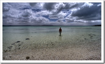
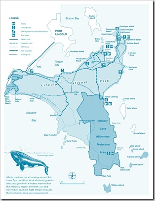
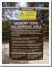
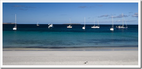
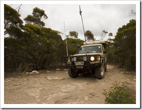
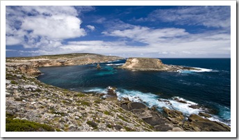
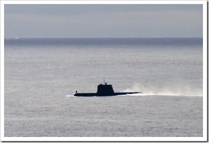
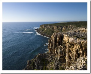
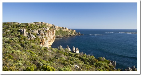
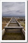
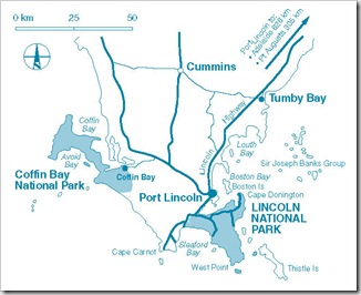
BROCHURE_LINCOLN_NP_Page_3Memory Cove Wilderness AreaRelics of an agricultural past at Cape DoningtonA short drive east and we were in Port Lincoln, next to which is Lincoln National Park.  Roughly a third of the area covered by Lincoln National Park is classified as Wilderness Area, on the way through Port Lincoln we stopped off at the Port Lincoln Visitor Centre to get one of the 15 keys to the Wilderness Area for our couple of days in the National Park.  At the southern end of the Wilderness Area there are five secluded campsites at the picturesque Memory Cove (S34°57.734′ E135°59.415′), we were lucky to be able to secure one of the Our neighbours for the night at Memory Covespots for our time in the park.  Talk about a picturesque location: there were only a few other campers there and the beautiful Memory Cove beach was only steps from our bed.  The fishing was not so good whilst we were there, although I must have picked a bad day because I’ve heard promising stories about fishing at the remote beach, but we did have a surprise visit from a fleet of yachts undertaking an overnight race.  They spent the night in the cove with us, beautiful boats, some serious money invested there…  We had a bit of a surprise on our way out of the National Park when one of the Australian Navy’s Collins Class Submarines surfaced a few hundred meters off the shore from West Point.

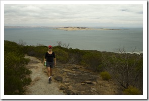
Walking to September BeachSeptember BeachSeptember BeachThe track into Spalding Cove  A placid Shingleback Lizard on the way up Stamford HillThe track into Spalding CoveA placid Shingleback Lizard on the way up Stamford Hill  Panoramic of Port Lincoln from the top of Stamford Hill Lisa on the trail up Stamford Hill with Boston Island in the distanceBeautiful coastline near WannaThe rocky track to Cape Tournefort The rocky track to Cape TournefortMaking our way to Cape TournefortMaking our way to Cape TournefortWildflowers on the way up Stamford Hill Through the sand to Cape TournefortCoastline near Cape TournefortThrough the sand to Cape Tournefort The track near Curta RocksThe track near Curta RocksEmus in the clearing near the Memory Cove gate Memory Cove Wilderness AreaMaking our way through the Memory Cove Wilderness AreaCape Catastrophe Memory CoveOur secluded beach campsite at Memory CoveShort trail through the sand to the beach from our campsite at Memory Cove Cormorants on the rocks in Memory CoveLisa on the walking trail around Memory Cove with the beach campsite in the backgroundMemory Cove Striking orange lichen on the rocks in Memory CoveA submarine coming up for air near Williams IslandRoadblocks on the track to Memory Cove

Share

Gallery: The Great Southern to the Nullarbor

Australia, Galleries, South Australia, Western Australia Comments Off on Gallery: The Great Southern to the Nullarbor
  • The Pilbara
The Great Southern to the Nullarbor

Shots from Western Australia's Great Southern region, Esperance, Kalgoorlie and the Nullabor Plain from November and December, 2009.

Share

Esperance, Kalgoorlie and Across the Nullarbor

Australia, South Australia, Western Australia 3 Comments »

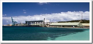
Esperance BayEsperance (S33°49.946′ E121°53.280′) is often called the ‘Bay of Isles’ due to the myriad of granite islands littered along the coast to the south of the town’s protected harbour.  We spent a few days in Esperance to tend to The Tank, which was due for a major service.  We got in touch with one of Ben Kennare’s mates from school Lisa about to tuck-in to a fish burger in Esperancewho gave us the lay of the land and also put is in touch with his local Western Australiamechanic.  I can’t speak highly enough of the fellas at Dave’s Auto Service, great blokes…  Like Albany, Esperance’s local economy revolves mainly around the export of agricultural products.  Last year over 3,000,000 Nine Mile Beach along the Great Ocean DriveLisa in the harbour with the grain silos at Dempster Head in the backgroundtonnes of barley, oats, lupin, peas and minerals were shipped out of the tiny town!  There are over 600 farms surrounding little Esperance spread across a little over 400,000 hectares.  Esperance itself is far more modern-looking than Albany and is without the beautiful heritage buildings of its sister town to the west.  The coastline to the southwest of Esperance, however, is a beautiful stretch of beaches and protected coves dubbed the Great Ocean Drive.  It was a good finale to the majestic beaches of the southwest we’ve gotten used to over the past few weeks.  An interesting stop for us in the town of Esperance was a fish leather factory: fish skins from the local fish processors (which would otherwise be discarded) are made into leather and fashioned into high-end handbags, purses and key chains.  The most unique item for sale we saw was a stingray leather key chain, such a strange texture…

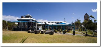
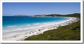
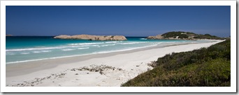
The grain silos at Dempster HeadTea rooms on The Esplanade in EsperanceSalmon Beach along the Great Ocean Drive Twilight Beach along the Great Ocean Drive (voted Australia's best beach in 2006)Lisa at Fourth Beach along the Great Ocean DriveThe Tank at 10 Mile Lagoon along the Great Ocean Drive 

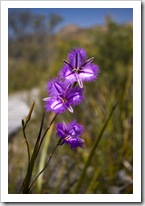
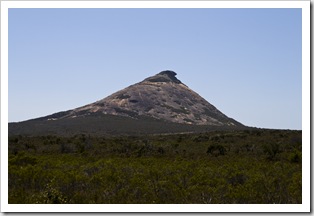
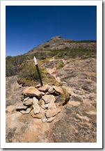
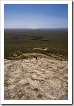
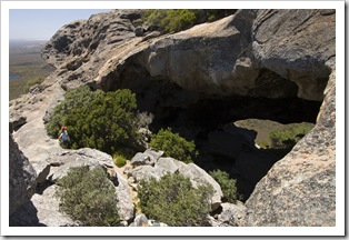
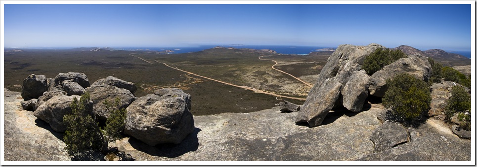
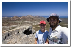
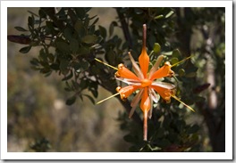
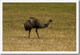
Le Grand Beach from Cape Le GrandThistle Cove in Le Grand National ParkOn our way out of town we took a detour around the other side of Esperance Bay to Cape Le Grand National Le Grand National Park wildflowersPark.  The road into the park passed through flocks of more emus than I think we’ve seen on the entire rest of our trip combined.  We stopped off at Le Grand Beach next to Cape Le Grand itself, last year voted as the Australian beach with the whitest sand, a beautiful spot where the beach appeared to extend forever into the horizon.  Thistle Cove was similarly worth a visit, definitely one of the most majestic beaches we’ve seen on our travels, the beautiful turquoise water backed by huge granite peaks.  After conquering West Mount Barren in Fitzgerald River National Park Lisa was keen for some more mountain climbing so we scrambled up Frenchman’s Peak for some brilliant panoramic views of the National Park and all its beaches.  Some great caves on the way up, one with a natural bridge cut through the tip of the mountain.  Worth the climb…

 Frenchman's Peak in Le Grand National ParkThe trail up to the top of Frenchman's PeakLisa trudging up Frenchman's PeakLisa looking into one of the caves on the way up Frenchman's Peak Panoramic of Lucky Bay and Thistle Cove from Frenchman's Peak Panoramic of Thistle Cove, Cape Le Grand and Le Grand Beach from Frenchman's Peak Sam and Lisa atop Frenchman's Peak with Cape Le Grand in the backgroundCape Le Grand Naitonal Park wildflowersCape Le Grand Naitonal Park wildflowersOne of the many Emus in Cape Le Grand Naitonal Park

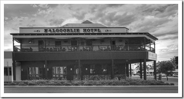
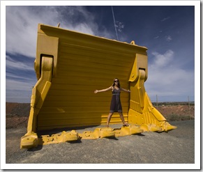
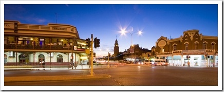
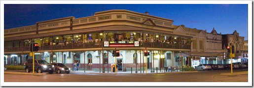
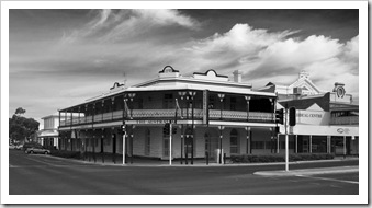
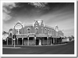
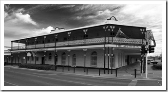
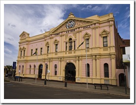
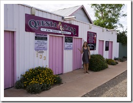
Central Kalgoorlie We were of two minds as to where to head from Cape Le Grand: east into Cape Arid National Park or north to the mining town of Kalgoorlie.  As we exited Cape Le Grand we saw a sign that indicated the road from Cape Arid to the Nullarbor Plain was closed so our decision was made for us: north to Kalgoorlie.  Even though Kalgoorlie was 400 kilometers (249 miles) out of our way we figured we’d better visit whilst in the area.  ‘Kalgoorlie’ and ‘gold’ are almost synonymous in Australia, every kid grows up being taught about Kalgoorlie’s Golden Mile, the richest stretch of gold-bearing ore on the planet.  The name ‘Alan Bond’ is also recognizable by most Australians, I learned that it was Bond who was originally responsible for the creation of consolidated mining in Kalgoorlie when he started buying up the plethora of individual mining leases to form what is today the Super Pit: Australia’s largest gold-producing open cut mine.  We visited the Super Pit lookout on our way out of town, the sheer size of the mine is mind boggling.  The massive earth movers (they have tyres Lisa inside a retired excavator shovel at the Super Pitwith a diameter of 12 feet so they really are monstrous) looked like Tonka trucks as they scooted around the huge hole in the earth.  An operation of unbelievable proportions…  In its heyday Kalgoorlie had a population of around 30,000 and boasted a staggering 93 hotels and eight breweries!  Today the population remains roughly the same but the drinking establishments have been trimmed into the thirties, still a high ratio by anyone’s measure.  Kalgoorlie’s main Hannan Street is lined with an array of heritage buildings, most of which were hotels in their day and many of which have been transformed into multi-level drinking establishments today.  A pretty seedy atmosphere, many of the pubs advertised strippers every night of the week or at least bar staff clad in the most scanty of clothing (locally known as ‘skimpies’).  When we walked down the main street on Saturday morning there were still patrons stumbling out of a few of the pubs!  Kalgoorlie also used to boast a huge number of brothels, Australia’s oldest brothel still operates in town, we stopped off for a photo at Questa Casa but didn’t feel like hanging around for the daily 2:00PM tours.  On our one night in town we enjoyed a quiet beer at one of the original pubs, securing a spot on the second-floor verandah to watch the world go by in the late evening heat.  A cold beer just tastes all that much better when it’s hot outside…  Definitely worth the trip to Kalgoorlie just to see the Super Pit, although I have an inkling that Kalgoorlie may be the town that began Australia’s original bogan movement.

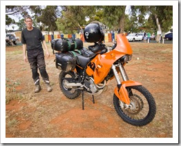
Kalgoorlie's central Hannan Street on a Friday nightKalgoorlie's central Hannan Street on a Friday night Central KalgoorlieCentral KalgoorlieCentral Kalgoorlie Central KalgoorlieCentral KalgoorlieLisa in front of Questa Casa (Kalgoorlie's oldest working brothel)A European fellow and his KTM in Kalgoorlie Australia's largest gold bearing surface mine: The Super Pit

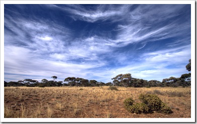
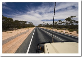
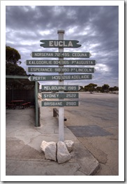
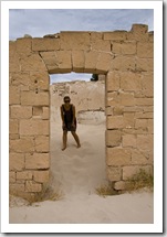
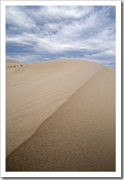
Big skies above the Mallee scrub on the Nullarbor PlainA lot of straight road and big skies across the Nullarbor PlainFrom Kalgoorlie we headed back down to Norseman where the highway tees east and onto the Nullarbor Plain.  We knew that the Nullarbor was going to be a marathon of driving through relative nothingness, but we really realized what we were in for on the road sign as we left Norseman where it had 1989 kilometers (1235 miles) painted next to ‘Adelaide’.  That’s a lot of scrub-covered plain!  It was a bit of a test in trying to keep each Stopping off at Eucla just west of the Western Australia/South Australia borderother alert, we traded driving two hour slogs each, struggling to find new material amongst the almost 7000 songs on our iPod but keeping amused with some old NPR podcasts we discovered.  We traveled Crossing the Nullarbor Plainacross Australia’s longest stretch of straight highway between Balladonia and Caiguna, 146.6 kilometers (91 miles) without a single deviation.  It was good to spend some time camping back in the bush, something we hadn’t been able to do for a while, around 5:00PM one night we started looking for a patch of sparse trees and pulled off into the seemingly endless Mallee scrub where we enjoyed a good campfire and night under the stars.  We stopped off at Eucla, the first settlement west of the Western Australia/South Australia border, to take a look at the relics of one of the old telegraph stations that is now being engulfed by sand.  There’s a stretch of sand dunes just east of Eucla that were so strikingly white we needed a pair of sunglasses just to take them in!  It’s back into south Australia from the Nullarbor Plain, a week or two touring the Eyre Peninsula then back to Adelaide for Santa Claus.

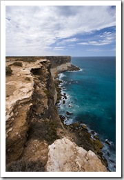
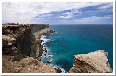
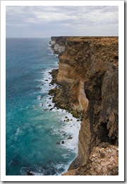
 Camping amongst the Mallee scrub on the Nullarbor PlainRuins of the old telegraph station at EuclaLisa keeping attention on her fashion...Lisa in the ruins of the old telegraph station at Eucla Striking white sand dunes at Eucla National ParkLookout over the cliffs of the Nullarbor Plain and the Great Australian Bight from Bunda CliffsLookout over the cliffs of the Nullarbor Plain and the Great Australian Bight from Bunda CliffsLookout over the cliffs of the Nullarbor Plain and the Great Australian Bight from Bunda Cliffs

Share

The Great Southern

Australia, Western Australia, Wines 3 Comments »

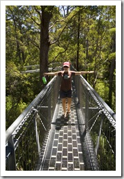
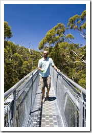
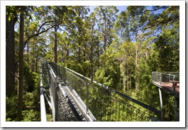
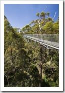
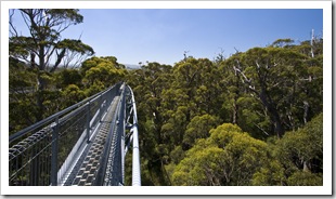
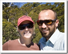
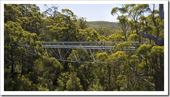
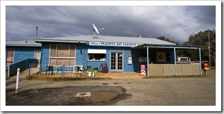
Lisa on the Valley of the Giants Treetop WalkSam on the Valley of the Giants Treetop WalkIt was more beautiful beaches, great wineries, quaint country towns and some fantastic mountains as we headed across Western Australia’s Great Southern region over the past week or so.  From Windy Harbor in D’entrecasteaux National Park we headed back inland, across Shannon National Park and toward Denmark.  A Banded Sweep for Lisa's dinner at Peaceful BayThe famous Valley of the Giants Treetop Walk is located a few kilometers east of Walpole, even though it’s probably one of the most touristy attractions in the area we figured we’d better stop off and see what it’s all about.  It was quite fun walking through the canopy of the massive Karri Eucalypts, the suspended walkways at one point had us 40 meters (131 feet) off the ground providing some brilliant views of the surrounding forest and agricultural areas.  We spent a night at Peaceful Bay (S35°02.331′ E116°55.824′), a protected stretch of coastline east of Nornalup where we found a good snorkeling site and I snagged a nice Banded Sweep for Lisa’s dinner.  Similar to Windy Harbour, there’s not much to peaceful bay except for a small camping area, a general store and collection of fishing shacks but it’s a beautiful spot all the same.

Valley of the Giants Treetop WalkValley of the Giants Treetop WalkValley of the Giants Treetop WalkLisa and Sam on the Valley of the Giants Treetop Walk Lisa suspended on the Valley of the Giants Treetop WalkLisa in the Ancient Empire ForestThe beautiful beach at Peaceful Bay The rocky reef at Peaceful BayOur campsite at Peaceful BayPeaceful Bay fish and chip shop, general store and caravan park office...

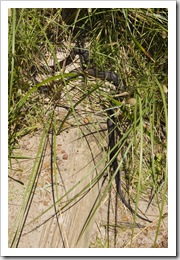
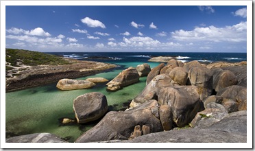
Pseudechis Australis (the Common Brown Snake) that I almost stepped on whilst walking on the path near Elephant Rocks (this is the world's second most venomous snake!)The beautiful Elephant Rocks between Walpole and DenmarkThe drive into Denmark (S34°57.650′ E117°21.439′) was another one of those stretches of road where we were a little overwhelmed with all the spots to stop along the way.  We visited The Toffee Factory, Elephant Rocks in William Bay National Park, Somerset Hill Winery, an alpaca farm and the Denmark Farmhouse cheese factory.  And that was just in the morning!  The coastline enclosed by William Bay National Park was unreal, definitely some of the most beautiful coastline I’ve ever seen, the turquoise waters along the shore receding to the deep blue of the Southern Ocean was so picturesque.  Had it not been for the inclement weather we’d been dodging for the better part of a week, Elephant Rocks would have been a great spot for snorkeling.  The water was so clear we could see the fish swimming in the protected pools.  I had a bit of a fright (‘bit’ might be slightly understated…) when I rounded the The Great Southerncorner on the trail to Elephant Rocks and almost stepped on a brown snake (pictured here) bathing itself in a patch of morning sun.  Don’t Somerset Hill WinesThe door minder at Somerset Hill Winesfancy a nip from the world’s second most venomous snake!
The hills surrounding Denmark were pretty magic as well, dotted with art galleries and wineries there was no shortage of spots to visit.  We tasted at Somerset Hill Winery, a beautiful The beautiful coastline near Elephant Rocksvineyard overlooking the surrounding countryside that boasted some great Semillons that would have been interesting to age for 10 years (so says our resident winemaker!).  We couldn’t wait that long, however, and enjoyed our bottle with some fresh fish.  It was fun to visit the Denmark Farmhouse cheese factory, the week earlier we’d tried to make it to the creamery in the tiny town of Northcliffe but missed closing time by 30 minutes.  Some of the cheeses at the Denmark Farmhouse were exquisite, we walked away with some of their tasty feta and a block of goat’s cheese.

Lisa near Elephant RocksWilliam Bay National ParkThe vineyards at Somerset Hill Wines Somerset Hill WinesThe Toffee Factory just east of WalpoleSomerset Hill WinesThe Denmark Farmhouse cheese factory

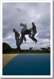
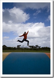
The Denmark River passing through central DenmarkThe Denmark BakeryDenmark itself was a great little town, somewhere we can picture both of our mothers enjoying the art galleries, coffee houses, restaurants, gift stores and health food establishments.  Denmark Bakery is the most recent addition to my list of Australia’s Best Bakeries, the storefront is covered with awards from the Perth Royal Show and they were definitely well deserved.  One of the galleries in Denmark had some of the most beautiful wooden tables and furniture we’d ever seen, definitely jotting this place down on our list Lisa enjoying the air-filled trampoline at Ocean Beachshould we ever need a new dining table down the road…  We spent the night just south of Denmark at Ocean Beach, the closest beach to Denmark’s town centre.  Lisa was as giddy as a Sam enjoying the air-filled trampoline at Ocean BeachLisa enjoying the air-filled trampoline at Ocean Beachschool kid when she spotted an air-filled trampoline out the front of the caravan park in which we stayed, we both relived a few childhood experiences as we bounced around.  The Wilson Inlet, on which Denmark is located, had a nice walking trail around its edge and the beach at Ocean Beach was another in the string of fantastic beaches that the southern coast has to offer.  We threw a line in near the mouth of the Wilson Inlet but our fishing was cut short after Lisa ended up on her back, drenched in seawater after tripping whilst scurrying backwards to escape an oncoming wave!  Once I’d ran down the beach to check that she was okay we both had quite a good laugh before trudging back to the caravan park for a much-needed hot shower.
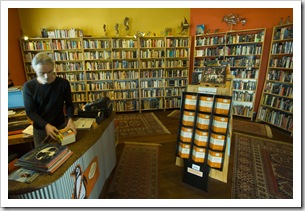
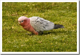
Central DenmarkOne of the quaint bookstores in DenmarkA galah at Ocean Beach 

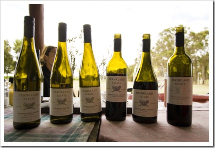
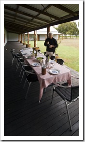
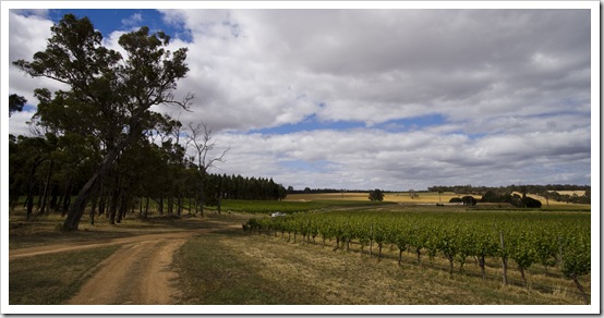
Lisa talking to Frankland Estate winemaker Barrie SmithThe flight of wines we were lucky enough to sample with lunchMy dad connected us with an old friend of his who owns Frankland Estate winery in-between the towns of Rocky Gully and Frankland, about an hour inland from Denmark.  We called ahead the day before, organized to arrive for lunch and were treated to a tour from owner and winemaker Barrie Smith as well as a gourmet sit-down lunch with the winery staff and Barrie’s daughter Elizabeth, who’s also one of the winemakers.  A beautiful piece of property nestled amongst the rolling hills of Frankland and such hospitality from Barrie and his daughter.  We sat there for an hour or two tasting through their fantastic wines paired with some delectable meats and cheeses.  Our visit to Frankland Estate coincided with Thanksgiving in the States so Lisa was excited to be able to enjoy a sit-down, communal meal on the day of the year when every other year of her life she’d eaten turkey with her family.

On our way through the fields at Frankland EstateFrankland EstateFrankland Estate Lisa talking to Frankland Estate winemaker Barrie SmithBarrie getting ready for our gourmet lunchFrankland Estate

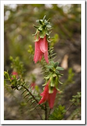
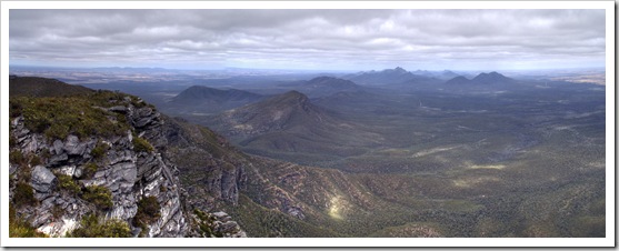
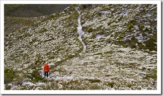
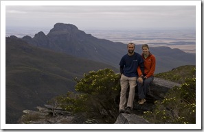
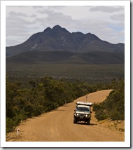
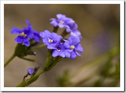
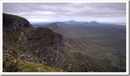
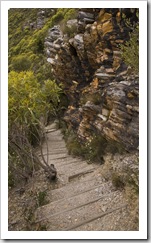
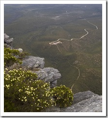
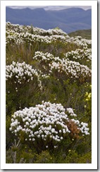
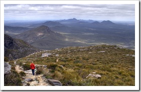
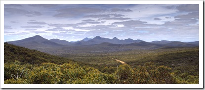
Mountain BellsThe Stirling RangeFrankland Estate was on the way inland to Stirling Range National Park (S34°24.058′ E118°06.129′).  The mountains of the Stirling Range rise out of the surrounding wheat fields like jagged teeth, a collection of majestic peaks stretching for close to 70 kilometers across the plains.  The mountains are home to a dizzying array of flora and fauna and are recognized internationally as one of the world’s most biodiverse regions.  There are a number of plants, like the red Lisa hiking through some of the wildflowers on the face of Bluff KnollSam and Lisa at the top of Bluff KnollMountain Bells pictured here, that aren’t found anywhere else in the world.  There’s only one campsite in the entire National Park and it was thus pretty packed by the time we rolled in at 4:30PM, the bushland of the Stirling Range is quite dry so we weren’t allowed to have a campfire.  Definitely one of our coldest nights in a long time we sought refuge in The Blue Room shortly after the sun disappeared (and the geriatric in the caravan next to us turned off his stinking generator!).  Quite a number of the The Tank on the way along the Stirling Range Drivepeaks comprising the Wildflowers on Bluff KnollStirling Range have hiking trails to their summit, we got going early and climbed the tallest of them all: Bluff Knoll.  The 675 meter (2215 feet) climb to southern Western Australia’s tallest mountain took us the better part of the morning, tough to dress for the occasion as the steepness of the trail had us sweating heavily at some points while the wind across some of the exposed bluffs was bone-chilling.  There were sections of the hike that took us through expansive fields of wildflowers, some areas were so dense that it was like walking through a colored blanket of flowers, just amazing…  The views from the top of Bluff Knoll were awe-inspiring, full 360° panoramas of the mountains making up Stirling Range and the surrounding wheat fields.  We took the long way out of the park, traversing the Stirling Range Drive across the National Park lengthways, a beautiful area of the country, we’re glad we made the trip inland for the experience.

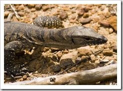
The Stirling RangeThe trail to Bluff KnollView of the car park from the peak of Bluff KnollWildflowers galore on our hike to Bluff Knoll Panoramic of the northern side of Stirling Range National Park and the wheat fields beyond from the top of Bluff Knoll Lisa with the Stirling Range in the distanceA goanna in Stirling Range National ParkThe Stirling Range 

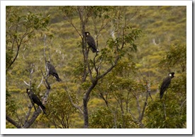
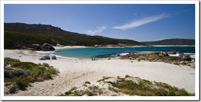
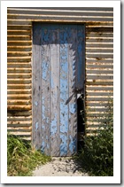
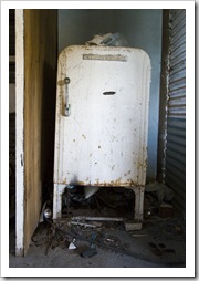
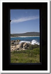
White-Tailed Black Cockatoos in Stirling Range National ParkOur spot next to the water at Two Peoples BayFrom the Stirling Range we ventured back toward the coast to spend a couple of days in the bustling port town of Albany and then continued west toward Esperance.  The number of white sandy beaches along the stretch of coast between Albany and Esperance is just amazing, anyone who doubts that Australia has the most beautiful beaches in the world should visit the coastline of The Great Southern.  The visitor information bureau in Albany suggested we explore Two Peoples Bay and Betty’s Beach on the way to Esperance, the road to which is a dirt track veering off the South Coast Highway about 30 kilometers east of Albany.  Two Peoples Bay Locals enjoying the reef break at Betty's Beachis a stretch of a few kilometers of beautiful white sand, hemmed in Sunset at Betty's Beachby granite peaks at the western end and rocky granite reef to the east.  Lisa went for a long walk on the beach (and got stung be a bee!) while I spent an hour or so snorkeling at the eastern end of the bay, after which we grabbed some lunch and then headed over the hill to the more protected Betty's BeachBetty’s Beach (S34°56.211′ E118°12.513′).  Betty’s is a collection of old iron sheds perched overlooking a beautiful cove, some of the shacks have been left to ruin and others maintained by locals from Albany for weekend The beautiful beach at Two Peoples Baytrips.  It was a fantastic spot, we enjoyed watching some local teens get barreled by a very sucky little break in amongst the granite rocks on the edge of the beach before eating dinner overlooking the beach and mountains in the distance.  The sunset and waves crashing into the tide pool made for some pretty awesome water photos…

Camping next to an old shack at Betty's Beach east of AlbanyBetty's BeachAn old shack at Betty's Beach A forgotten fridge at Betty's BeachView from one of the old shacks at Betty's BeachSunset at Betty's BeachLocals enjoying the reef break at Betty's Beach Locals enjoying the reef break at Betty's BeachLocals enjoying the reef break at Betty's BeachBetty's Beach Sunset at Betty's BeachSunset at Betty's Beach

Panoramic of the protected cove at Little Boat Harbour near Bremer BayOn the recommendation of Elizabeth and Barrie Smith at Frankland Estate we took a 60 kilometer detour from the South Coast Highway to the holiday town of Bremer Bay.  The town is tucked behind Point Henry, the orientation of which ensures that there’s always a secluded beach to be found somewhere within 10 minutes of town.  We explored the peninsula between Point Henry and Bremer Bay, stopping off for a swim at Little Boat Harbour on the easterly side.  I had no idea that coral existed in the cold Lisa at the peak of West Mount BarrenThe hiking trail to the peak of West Mount Barren with East Mount Barren in the distanceToo many flies in Fitzgerald River National Parkwaters of the Southern Ocean but about 50 meters offshore and 10 meters deep I was surprised to see some beautiful hard and soft coral, amazing colours and so many fish buzzing about.

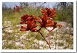
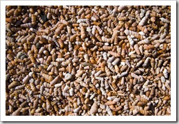
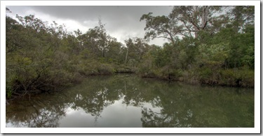
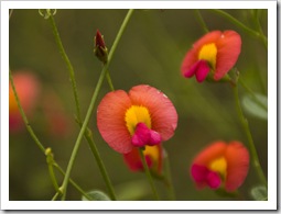
Preferring to stick with campsites rather than caravan parks for as long as possible, we left Bremer Bay behind (in Western Australia you will never find a campsite within 17 kilometers of a town) and made our way along back roads to the edge of Fitzgerald River Kangaroo Paw in Fitzgerald River National ParkTiny shells lining the shore of Saint Mary's InletNational Park.  Lisa was in the mood for some more mountains after our hike in Kangaroo paws in the sand at Saint Mary's Inletthe Stirling Range so we stopped off to climb the tallest peak in the area, East Mount Barren.  We were rewarded with some brilliant panoramic views of the coastline from up on high.  There’s one campsite in the southern section of Fitzgerald River National Park at Saint Mary’s Inlet, we stopped for the night at yet another extremely well-equipped campsite run by the The beach extending from Point Ann to Point Charles in Fitzgerald River National ParkDepartment of Environment and Conservation (this one had free gas BBQ and burners, toilets and secluded level campsites nestled amongst the trees surrounding the waters of the inlet).  In the morning we took a walk to the tip of nearby Point Ann, the southerly beginning of the famous (or infamous…) Rabbit Proof Fence constructed in the 19th century in a failed attempt to halt the spread of introduced rabbits west across the Australian mainland.  Today all that’s left are some old fence posts and rusted sections of mesh fence, but an interesting piece of history all the same.  The flies in Fitzgerald River National Park were some of the worst we’ve experienced, I think it was the first time we broke out our fly nets since Gregory National Park all the way back in July!  Some beautiful wildflowers dotted across the landscape of the National Park, not the brilliant fields we saw in the Stirling Range but some great examples of Kangaroo Paw and other brightly coloured specimens.

Saint Mary's InletPaperbark trees lining Saint Mary's InletSaint Mary's Inlet Our campsite at Saint Mary's Inlet in Fitzgerald River National ParkPoint Ann in Fitzgerald River National ParkTiny shells lining the shore of Saint Mary's InletWildflowers in Fitzgerald River National Park Saint Mary's InletThe beach and Point Ann at Fitzgerald River National Park 

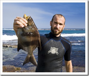
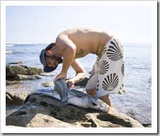
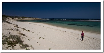
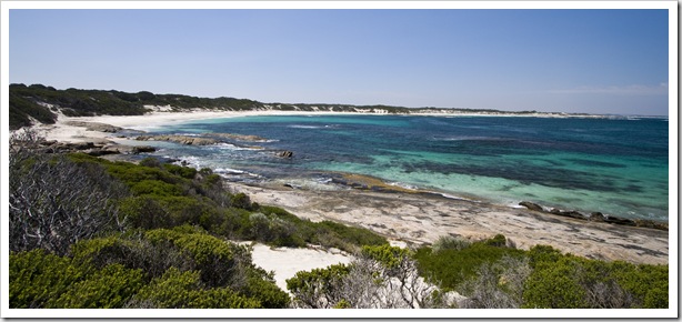
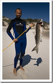
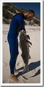
Sam with the mother of all Morwongs at Munglinup ReefSam with the mother of all Morwongs at Munglinup ReefFor our last night of camping in The Great Southern we stayed at Munglinup Reef (S33°53.211′ E120°48.338′), roughly 100 kilometers west of the port town of Esperance.  The reef bends around a small peninsula, the easterly portion a deep and quite rough stretch of ocean while the western side is protected by a long barrier of rocks making for a fantastic snorkeling and swimming spot.  It was so calm that Lisa even wanted to get in for a dip!  Lisa called me over to take a look at an Eagle Ray she’d found underwater when the Morwong pictured here flew past and I happened to have my spear drawn, I landed him in the side of the head and Lisa’s now going to be eating fish for the better part of a month!  Definitely the biggest Tide pools at Munglinup Reeffish I’ve ever landed on spear or line, it was so heavy I struggled to get it out of the water and it bent my spear head whilst I was carrying it.  I wasn’t sure what type of fish it was until asking master fisherman Matt Little, luckily it has some nice white flesh and Lisa has been enjoying it for dinner for the past few nights.

Sam filleting the mother of all Morwongs at Munglinup ReefIt’s back off into some arid country from here for us as we begin our way across the Nullarbor Plain, we’ll definitely hold the southwestern corner of Western Australia (Margaret River, The Southern Forests and The Great Southern) fondly in our memories.  Such a brilliant portion of the country with so much to experience.  Time and time again we were taken aback with the awesome campground facilities provided by Western Australia’s Department of Environment and Conservation: always with toilets, the occasional shower, wood provided if campfires are allowed…  And the shire campsites provided by the towns of Albany and Esperance at places like Betty’s Beach and Munglinup Reef were also awesome, some of the best campsites we’ve visited anywhere so far.  The fact that we had most of the spots to ourselves made it all the more fantastic.

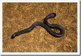
A big Yellow-Bellied Black Snake on the side of the road near MunglinupOur campsite at Munglinup ReefLisa at Munglinup Reef Munglinup ReefSam with the mother of all Morwongs at Munglinup ReefSam with the mother of all Morwongs at Munglinup Reef

Share

Albany

Australia, Western Australia 2 Comments »
Planet View: S35°00.692′ E117°52.480′
Street View: S35°00.692′ E117°52.480′

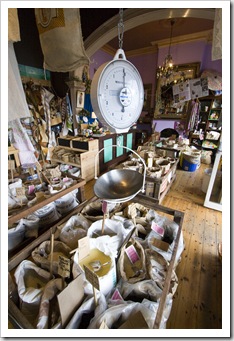
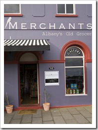
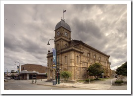
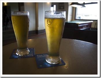
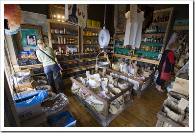
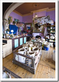
Merchants Grocer on the Albany waterfrontMerchants Grocer on the Albany waterfrontAlbany's town hallAlbany’s a great little port town situated at the back of the Princess Royal Harbour smack in the middle of southern wheat belt, the huge grain silos visible from anywhere along the harbour.  Many of the town’s historical buildings have been painstakingly maintained over the years and give the town a comforting old-world feel, a walk along the main street is like trip through architectural styles of the early twentieth century.  Central Albany is filled with a plethora of coffee shops, quaint health Tangle Head Breweryfood stores and no shortage of restaurants, home to some of Western Australia’s most lauded chefs.  As with bakeries, it’s difficult for us to avoid a microbrewery when passing through a country town so stopped off at Tangle Head Brewery during our first afternoon in town.  One of Albany’s old pubs retrofitted with modern decor, the brewery serves up a range of home-brewed ales and and lagers.  Lisa enjoyed the coffee-scented stout while I opted for their tasty White Ale with its hint of banana and citrus (no fruity jokes please…).  We also stumbled across a fantastic grocer along the waterfront called Merchants, offering a diverse range of bulk herbs, spices, dried fruit and baking items (you would have loved it Michaela!).

Central AlbanyAlbany's main streetCentral AlbanyCentral Albany Central AlbanyCentral AlbanyLisa out the front of Tangle Head BreweryTangle Head Brewery Tangle Head BreweryMerchants Grocer on the Albany waterfrontMerchants Grocer on the Albany waterfront 

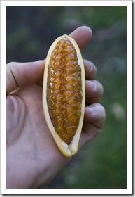
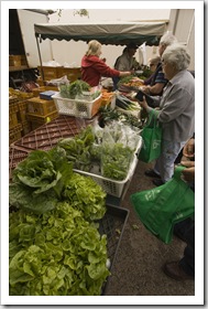
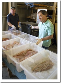
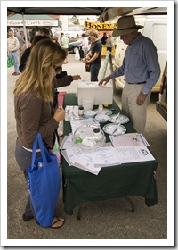
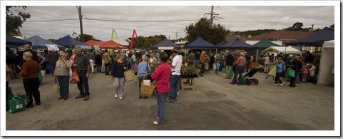
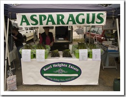
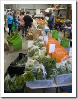
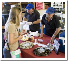
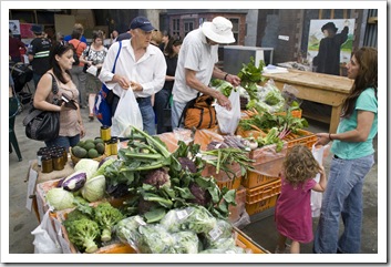
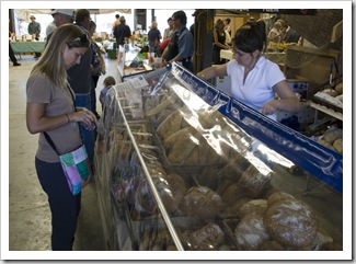
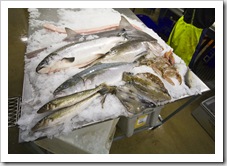
Banana passionfruitFresh fruit and vegetables at the Albany Farmer's MarketFishmongers at the Boat Shed MarketsIf you’re reading this and are ever planning on visiting Albany it’s a good idea to plan to stop off on a weekend: Saturday’s play host to the Albany Farmer’s Market and on Sunday are the local fish markets at the Boat Shed Markets.  The Albany Farmer’s Market is hailed as the best in the state and, while it’s quite small, the fresh food and variety of local offerings was brilliant.  We stocked up on everything from fruit to honey, sampling a Lisa sampling cheese at the Albany Farmer's MarketLisa sampling cheese at the Albany Farmer's Marketdelectable yabbie pie for breakfast and enjoying an iced coffee from one of the local dairies selling their milk at the gathering (for you northerners a yabbie is a freshwater crustacean similar to a crawdad).  One of the more unique pieces of food we bought was a bag of banana passionfruits (pictured here) which we enjoyed on our morning cereal for the better part of a week.  Lisa wanted to sample some of the local fish for which The Great Southern is so famous, when we arrived at the Sunday Boat Shed Markets there was a line out the door leading up to the main fishmonger’s stall.  On offer were huge tubs full of filleted Red Snapper, Queen Snapper, Leatherjacket, Cobbler and a type of groper as well as some of the biggest fresh squids I’ve ever seen.  The Boat Shed Markets are also jam packed with local horticulturalists, bakers and a couple of fellows selling mussels and oysters by the tray.  We walked away with some Red Snapper, groper, a big box of cherries and some fresh bread from a local patisserie.  The Tank couldn’t fit any more food after a weekend at the Albany markets!

Albany Farmer's MarketYabbie pies and tarts at the Albany Farmer's MarketOne of the local dairies selling their milk at the Albany Farmer's Market Fresh bread at the Albany Farmer's MarketAlbany Farmer's MarketAlbany Farmer's MarketFresh fruit and vegetables at the Boat Shed Markets Lisa talking to one of the oyster merchants at the Boat Shed MarketsFresh fruit and vegetables at the Boat Shed MarketsLisa purchasing some of the awesome fresh bread on offer at the Boat Shed Markets 

Torndirrup National ParkSam and Lisa in Torndirrup National ParkWe spent one of our days in Albany exploring the coastline around town, the main attraction is Torndirrup National Park on the other side of Princess Royal Harbour.  The National Park is a collection of beautiful beaches mixed with some stunning natural rock formations, the turquoise water and white sand of the beaches was pretty majestic.  It was a little cold for a dip on the day we ventured into Lisa about to get stuck into some squid at the famous Squid Shack at Emu PointTorndirrup but some of the beaches would be a brilliant spot for spending a hot summer day.  There are a collection of blowholes in the southern section of the park but unfortunately the swell was too tame when we were there for them to spout any water.

Around the other side of Princess Royal Harbour at the northern end of King George Sound lies Emu Point, a secluded harbour and home to Albany’s famous Squid Shack restaurant.  The Squid Shack is a traditional Aussie seafood restaurant where it’s BYO drinks, plates and cutlery.  We shared a huge box of delicious salt-and-pepper squid, some of the most tender either of us had ever tasted, coupled with the remnants of a bottle of Frankland Estate Isolation Ridge Riesling.  Can you ask for more in a lunch?!

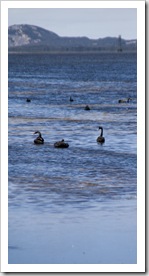
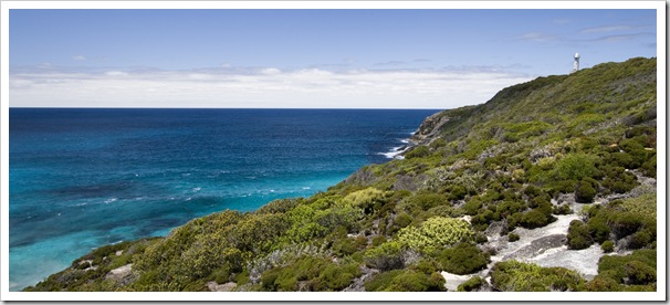
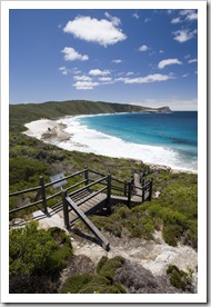
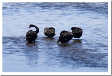
Black Swans in Princess Royal Harbour near AlbanyLighthouse in Torndirrup National ParkTorndirrup National Park Black Swans in Princess Royal Harbour near AlbanyThe Gap in Torndirrup National ParkLooking west along the coast from Natural Bridge in Torndirrup National Park Looking west along the coast from Natural Bridge in Torndirrup National ParkNatural Bridge in Torndirrup National ParkLisa near Natural Bridge in Torndirrup National Park Torndirrup National ParkTorndirrup National ParkPelicans in the harbour at Emu Point east of Albany 

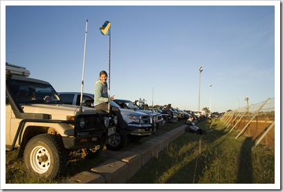
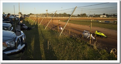
Lisa at the Albany SpeedwayThe Albany SpeedwayAfter our first visit to the speedway in Broome we seem to have inherited a bit of a fancy for country town race meets, we attended the Albany Speedway on our last night in town for a dose of high-octane, methanol-burning racing.  The Albany meet had a couple of classes of sprint cars, something we didn’t see in Broome, awesome to see how quickly the sprint cars tear around the track.  Later in the night when the air temperature dropped and the track’s moisture content increased the rear tyres of the sprint cars started to generate steam with the amount of heat building up as they tore around the corners.  Also on display were the super sedans, which we did see in Broome: methanol-burning powerhouses that were just amazing to see take off into each short strait.  It was quite a cold night after the sun set, Lisa missed the third and a bit of the fourth rounds in a Muscat-induced coma as she was trying to warm up in The Tank’s cab!

Share

Gallery: The Southern Forests

Australia, Galleries, Western Australia Comments Off on Gallery: The Southern Forests
  • Indonesia
The Southern Forests

Photos from Western Australia's Souther Forests region when we traveled through during November, 2009.

Share

The Southern Forests

Australia, Western Australia, Wines 2 Comments »

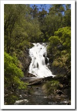
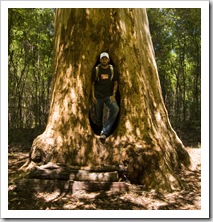
From our awesome spot alongside the Blackwood River on the edge of the Margaret River region we said goodbye to Sergey and continued east into Western Australia’s Southern Forests.  The Southern Forests are an array of towering eucalypts that stretch from west of the quaint, inland timber town of Pemberton to the beginning of the southern inlets near Walpole.  We first stopped off in Beedelup National Park on our way to Pemberton, taking in the gushing 12 meter (39 feet) high Beedelup Falls and having a walk through the Karri forests to the ‘Walk Through Tree’ near Karri Valley Resort (Mum: you’d like Karri Valley Resort…). 

Lisa in the 'Walk Through Karri' in Beedelup National ParkBeedelup FallsSam in the 'Walk Through Karri' in Beedelup National ParkLuxury accommodation at Karri Valley Resort on the edge of Beedelup National Park

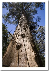
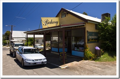
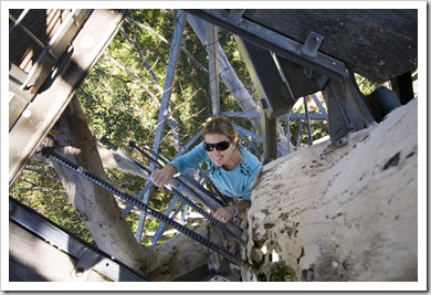
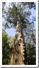
View from the Gloucester Tree in Gloucester National ParkLisa climbing the Gloucester Tree in Gloucester National ParkNever one to resist a country town bakery, I convinced Lisa on lunch at The Crossings Bakery in Pemberton (it didn’t take much convincing) before exploring a portion of Gloucester National Park.  A climb up the 60 meter (197 feet) trunk of the Gloucester Tree was quite a workout, amazing views from the top over the canopy of the forest making up Gloucester National Park.  The towering eucalypts in the forests in southern Western Australia are used as lookouts by firefighters, the tallest trees in each portion of the forest have metal stakes driven perpendicular to their trunk to form a makeshift staircase.  The Gloucester Tree is one of the few trees used as lookouts open to the public.

The Crossings Bakery in Pemberton (definitely one of Australia's best!)Lisa climbing the Gloucester Tree in Gloucester National ParkThe Gloucester Tree in Gloucester National Park

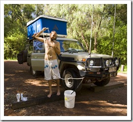
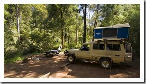
Our private steps to the Warren River from our campsite in Warren National ParkTaking a much needed hot shower in Warren National ParkWe spent our first night in The Southern Forests at a beautiful campsite alongside the Warren River in Warren National Park (S34°30.569′ E115°57.693′).  Our spot not only had a fire pit and picnic table with benches but also a private staircase leading down to the pristine waters of the Warren River.  A really fantastic spot, so peaceful and tranquil in amongst the towering Karri Eucalypts Lisa with Picardy Winery's winemaker Dan Pannellwith not a sound but the trickle of the river.  I took a dip in the river, talk about icy, lucky for The Tank’s hot shower!  From Warren National Park we stopped off at The Cascades in Gloucester National Park on our way back into Pemberton for another day of wine tasting.  Lisa called ahead to Picardy Winery, an appointment only establishment north of Pemberton, hoping to organize a tour of one of the better known wineries in the region.  Whilst waiting for a call back we took a scenic drive through the rolling hills surrounding Pemberton, stopping at Mountford Winery (where they also brew some tasty ciders), Silkwood and finally Salitage Winery.  Dan Pannell, the winemaker at Picardy, called Lisa back and we were treated to an in-depth tour and tasting of his establishment.  An outspoken but humorous bloke, Dan spent more than an hour with Lisa tasting her through all the varieties grown on his family’s estate, Pinot Noir being the highlight for Lisa.  I was fortunate enough to taste everything on offer as well, while my taste buds aren’t anywhere near as tuned as Lisa’s I did very much enjoy some of the drops on offer in the Picardy barrel cellar.

Our campsite next to the Warren River in Warren National ParkSunset on the Warren River from our campsite in Warren National ParkDriving through the Karri forests in Warren Naitonal ParkThe Cascades in Gloucester National Park The beautiful rolling hills in the agricultural areas around PembertonMountford Winery near PembertonMountford Winery near Pemberton On our way in to Silkwood WinerySilkwood Winery cellar doorSilkwood Winery cellar doorSalitage Winery cellar door Salitage WineryPicardy WineryPicardy WineryPicardy Winery vineyards

Salmon Beach in Point D'entrecasteaux National ParkSalmon Beach in Point D'entrecasteaux National ParkFrom Pemberton the South Western Highway makes its way through Shannon National Park and back to the coast near Walpole.  On recommendation from staff at a couple of the wineries around Pemberton we instead decided to make our way down through Northcliffe (Western Australia’s wettest town [even wetter than all those towns up north in the tropics!]) and to the sleepy fishing Salmon Beach in Point D'entrecasteaux National ParkSalmon Beach in Point D'entrecasteaux National Parksettlement of Windy Harbour (S34°50.187′ E116°01.538′).  We’re glad we took the locals’ advice: Windy Harbour lies in a protected cove beneath the majestic cliffs of Point D’entrecasteaux, the vistas from the cliffs in the afternoon sun were brilliant and the campsite in amongst all the holiday shacks was a great spot.  Windy Harbour immediately reminded us of some of Point D'entrecasteauxPoint D'entrecasteauxthe small hippy settlements along the Mendocino Coast…  During our afternoon in Windy Harbour we explored beautiful Salmon Beach then along the top of the cliffs to the tip of Point D’entrecasteaux and some of the lookouts in-between.  A very rugged but beautiful area of the country…  On our way back to Northcliffe and the South Western Highway we stopped off at Mount Chudalup, where we spent an hour climbing to its peak for 360° views of D’entrecasteaux Fishing is a popular pastime in Windy Harbour...National Park and the ocean in the distance.  As we made for the highway we attempted to find Lane Pool Falls in the wilderness area east of Northcliffe, but after the better part of an hour driving in what seemed like circles on a myriad of logging trails we called in quits and made a beeline for Walpole.  We ducked into Fernhook Falls in Frankland River National Park on our way to Walpole, the tea color of the Deep River was more pronounced at the falls than anywhere else we’d seen in the region, the tannins from decomposing plants responsible for the colour.  Even though the water is coloured deep brown, the Deep River is supposedly the most pure river in Western Australia, avoiding agricultural areas for over 95% of its 120 kilometer (75 mile) length. 

Looking back to Salmon Beach from Point D'entrecasteauxOur campsite in Windy Harbour next to Point D'entrecasteaux National ParkThe quaint fishing settlement of Windy Harbour Tide pools at Windy HarbourLooking at Point D'entrecasteaux from the beach at Windy HarbourThe quaint fishing settlement of Windy Harbour View of the coast toward Point D'entrecasteaux from Mount Chudalup Sam and Lisa on top of Mount Chudalup near Windy HarbourFernhook Falls along the Deep River near WalpoleFernhook Falls along the Deep River near WalpolePool along the Deep River near Walpole

Share

Gallery: Perth and the Margaret River

Australia, Galleries, Western Australia Comments Off on Gallery: Perth and the Margaret River
  • Singapore
Perth and the Margaret River

A collection of shots from Swan Valley, Perth, Fremantle and the Margaret River region during November, 2009.

Share

The Margaret River

Australia, Western Australia, Wines 5 Comments »
Planet View: S33°59.247′ E114°59.536′
Street View: S33°59.247′ E114°59.536′

Western AustraliaEagle BayMargaret River wildflowers What a beautiful area of the country!  After a week or so in Fremantle with our brilliant host Sam Harkin we made our way to the Perth airport to pick up a mate of mine with whom I studied in the States and started our journey 300 kilometers south to the beginning of the Margaret River region.  Sergey was on vacation from New York, visiting us in Western Australia for his first trip to the Land Down Under, Sergey's first sampling of Vegemitethen to Sydney and stopping off in Hong Kong and Tokyo for work on the way home.  It’s no wonder the Margaret River is such a burgeoning tourist region, we could probably have amused ourselves in the area for a month with wineries, local artists’ studios, fantastic bakeries, surfing, fishing, snorkeling, hiking…  It’s the first time on our trip that Lisa and I have really missed our mountain bikes, the whole peninsula from Dunsborough to Augusta is crisscrossed with hiking trails, all of which are open to mountain bikes.  Maybe one day we’ll have to come back with our bikes! 

Sergey and Sam getting ready to go snorkeling at Bunker BayWe spent the first few days of our time in Margaret River at the northern end of the Sugarloaf Rockpeninsula near Yallingup.  A few of Sam Harkin’s mates grew up in the area and had given us some suggestions while we were in Fremantle, the first of those a great snorkeling spot in the beautiful secluded waters of Bunker Bay just west of Dunsborough.  I took my spear with me and unfortunately had a meter-long Mulloway wriggle off its tip just as I was about to get it out of the water.  The big one that got Caves Caravan Park at Yallingupaway!  It would have been enough fish to feed Lisa and Sergey for week…  The lighthouse and walking trails at Cape Naturaliste at the northern tip of the Margaret River region are set along some absolutely beautiful coastline, we spent some time along one of the walking trails watching Southern Right Whales frolic in the waters a few hundred meters off the rocky shore.  We ran into some divers making a beeline for the water near the beautiful Sugarloaf Rock, rock lobster and abalone season had just started in Western Australia so the locals were anxious for some fresh seafood.  We sampled our first Margaret River wines at Wise Winery near Dunsborough, a majestic setting overlooking the tranquil waters of Geographe Bay and the surrounding forests.  We left Wise with the first of many Margaret River wines, a Sauvignon Blanc Semillon we enjoyed with dinner that night at Yallingup.

Sea shells on the beach at YallingupSergey and Sam getting ready to go snorkeling at Bunker BaySam exiting the water at Bunker BayBunker Bay Lisa preparing her special feta and beetroot saladSergey and Lisa putting up the tent at YallingupSergey on the rocks at Bunker BaySam and Lisa and Cape Naturaliste The whale watching platform at Cape NaturalisteWildflowers at Sugarloaf RockWise Winery

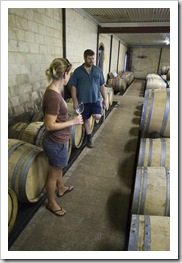
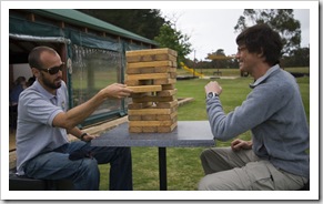
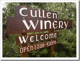
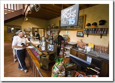
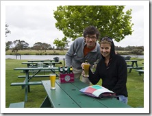
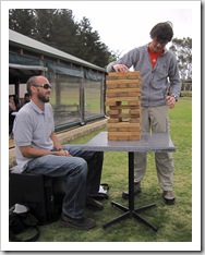
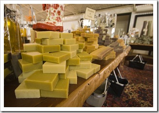
Sam and Lisa hiking around 10 Mile Brook near the town of Margaret RiverCullen WineryAfter sampling the gourmet fare at the Margaret River Bakery one morning and exploring some of the hiking trails around nearby 10 Mile Brook the weather unfortunately took a turn on us as the skies opened up and continued doing so for the better part of a week.  Inclement weather was a good excuse for us to make a solid day of wine tasting at some of Margaret River’s plethora of estates, in one afternoon I chauffeured Lisa and Sergey to: Cullen Winery, Pierro Winery, Sandalford Winery and Woodlands Estate.  We also stopped off at Bootleg Brewing Company (my choice for the afternoon) as well as the Natural Olive Oil Soap Factory.  The next day we scored a quick break in the Sam and Sergey playing the huge Jenga at Bootleg Brewing Companyweather, enough time for a hike around 10 Mile Brook dam, before visiting Leeuwin Estates, Voyager Estates, the Margaret River Chocolate Company Voyager Estates(Lisa’s choice!), Margaret River Nuts and Cereals (you would have loved it Jacque) and a few of the brilliant woodworking galleries dotted through the area.  So much to experience!  At Pierro Winery it was good to catch up with a Saint Marks old collegian, Chris Chen, who’s the winemaker and viticulturist at the award winning establishment.  He gave the three of us a great tour of the winery, good to have a chat after almost 10 years away from university.  Had it not been for the rain and him having to spray his vines late into the night we would have caught up for dinner and a few drinks as well…

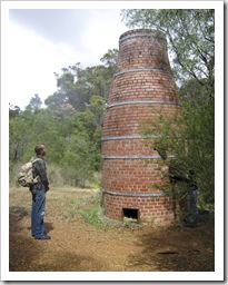
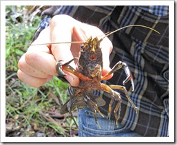
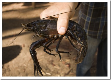
Sam at a historical chimney in the bush near the town of Margaret RiverSergey next to 10 Mile BrookMargaret River wildflowersHiking trail through the forest near 10 Mile Brook Hiking trail through the forest near 10 Mile BrookA nice sized Marron near Margaret RiverCullen Winery Cullen WineryCullen WineryCullen WineryPierro Winery Sam and Lisa with Chris Chen at Pierro WinerySandalford WineryThe coastline near Moses Rock Bootleg Brewing CompanyBootleg Brewing CompanySergey and Lisa at Bootleg Brewing CompanyBootleg Brewing Company Sam and Sergey playing the huge Jenga at Bootleg Brewing CompanyThe Natural Olive Oil Soap FactoryLisa and Sergey at The Natural Olive Oil Soap FactoryMargaret River kangaroos  Margaret River kangaroos Margaret River wildflowersLeeuwin Estates Voyager EstatesVoyager EstatesSergey and Lisa tuck into a brownie with icecream at the Margaret River Chocolate Company

A kookaburra at Conto campground An inquisitive mother and her joey at our Conto campground The coastline near Conto SpringThe northern end of the Margaret River peninsula is pretty much completely devoid of campgrounds, caravan parks were our only choice so we couldn’t really give Sergey the true Aussie experience.  However, once we reached Prevelly and later at Conto and Chapman Pool we were camping in the bush with a fire each night and had all our campsites frequented by a range of wildlife.  At Conto we had a mother kangaroo with her joey come in to feed while we were sitting by the fire, Kookaburras watching us intently from the surrounding peppermint trees and also had a Bandicoot visit once the sun had gone down (I’d never before seen a Bandicoot in the wild).  Sergey rented a wetsuit for the week he was with us and bought his first mask and snorkel, intent on ventureing into the ocean at every opportunity possible.  In addition to taking a look below the surface at northerly Bunker Bay we also Lisa preparing butternut at ContoOur brilliant campsite at ContoSam and Lisa by the fire at Conto Campgroundsnorkeled at Gnarabup Beach, Conto Spring and Hamelin Bay.  The 300 meter swim out to Mushroom Rock in Hamelin Bay was a little eerie, traversing 10 meter deep waters frequented by Port Jackson Sharks, but it was a treat for us to all see a massive Eagle Ray on the way out.  Sergey turned back with the chills before reaching Mushroom Rock but Lisa and I were rewarded with probably the best cold water snorkeling spot I’ve ever seen, deep crevasses and caves to swim through and an endless array of colorful sponges and algae lining the ledges.  There were plenty of fish to watch too, the two Mulloway that cruised by when we were out there were quickly earmarked by Lisa as the next type of fish she’d like me to spear for her and Sergey’s dinner!
Our campsite on the coast at PrevellyGnarabup BeachGnarabup Beach Sam with a Banded Sweep for Lisa and Sergey's dinnerThe coastline near Conto SpringHamelin BayLisa finishing a snorkeling trip out to Mushroom Rock at Hamelin Bay

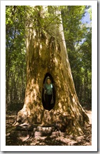
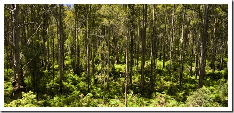
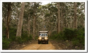
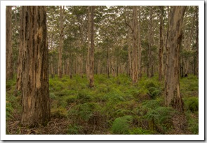
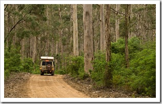
The Boranup Karri ForestFrom Hamelin Bay we ventured further south through our first dose of the majestic Karri Eucalypt forests of Western Australia’s south.  The Karri The lighthouse at Cape Leeuwinare Australia’s largest trees, growing up to 90 meters in height and thus also making them one of the tallest trees on the planet.  A few small pockets of Karri escaped logging in the early twentieth century, we took a drive through the Boranup Forest one morning and were in awe at the size of some of the towering trees.  The huge eucalypts coupled with the undergrowth of luscious green ferns and myriad of different smells in the forest made it quite a surreal experience.  The photos here definitely don’t do it justice…

From the Boranup Forest it was a quick drive to the most southerly town on the Margaret River peninsula: Augusta.  A sleepy resort and fishing town with yet another good bakery, Sergey took quite a liking to Australian bakeries during his visit, always sampling a sweet and a savory item at each one we visited.  A short drive south of Augusta took us to the lighthouse at Cape Leeuwin, the point at which the Indian and Southern Oceans meet and a good spot to view the rugged coastline extending up to Cape Naturaliste. 

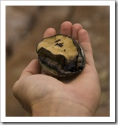
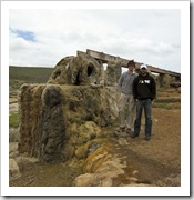
The Boranup Karri ForestThe Boranup Karri ForestThe Boranup Karri Forest Looking north up the coast from Cape LeeuwinThe channel to the old water wheel at Cape LeeuwinA Green Lipped Abalone at Cape LeeuwinSergey and Sam at Cape Leeuwin

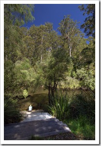
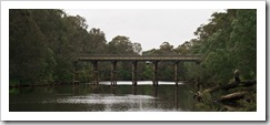
Bridge over the Blackwood River near our campsite at Chapman PoolWe left the Margaret Region proper to spend a night inland at Chapman Pool, a tranquil spot along the Blackwood River in Blackwood Conservation Park.  Sergey and I ventured into the icy waters of the Blackwood River for a swim during a spell between downpours, a refreshing dip that I wouldn’t have fancied had we been without a campfire to coax blood back to the surface of our bodies!  From Chapman Pool it’s off to the Southern Forests region of Western Australia for us and for Sergey it’s Sydney.  It was fun having a visitor along for the ride for a week with us, the Margaret River is such a beautiful part of the world, I can definitely see us making a return trip one day…

Near our campsite at Chapman PoolMonster Marron in Blackwood Conservation ParkMargaret River wildflowersSergey enjoying the real Aussie experience at our campsite at Chapman Pool Chapman Pool in Blackwood Conservation ParkMargaret River wildflowersOur campsite at Chapman Pool in Blackwood Conservation Park

Share
    • January 2025
      S M T W T F S
       1234
      567891011
      12131415161718
      19202122232425
      262728293031  
  • Next...

      A couple of months cruising up Australia's east coast...